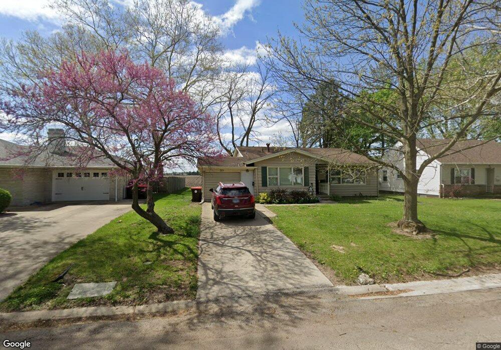
315 Mayfair Dr Lincoln, IL 62656
Estimated Value: $157,449 - $182,000
4
Beds
2
Baths
1,092
Sq Ft
$155/Sq Ft
Est. Value
About This Home
This home is located at 315 Mayfair Dr, Lincoln, IL 62656 and is currently estimated at $169,612, approximately $155 per square foot. 315 Mayfair Dr is a home located in Logan County with nearby schools including Washington-Monroe Elementary School, Adams Elementary School, and Lincoln Junior High School.
Ownership History
Date
Name
Owned For
Owner Type
Purchase Details
Closed on
Jul 2, 2021
Sold by
Naugle Douglas E and Naugle Sarah E
Bought by
Naugle Douglas E
Current Estimated Value
Purchase Details
Closed on
Apr 29, 2005
Sold by
Naugle Douglas E and Naugle Sarah E
Bought by
Naugle Douglas E and Naugle Sarah E
Create a Home Valuation Report for This Property
The Home Valuation Report is an in-depth analysis detailing your home's value as well as a comparison with similar homes in the area
Home Values in the Area
Average Home Value in this Area
Purchase History
| Date | Buyer | Sale Price | Title Company |
|---|---|---|---|
| Naugle Douglas E | -- | None Available | |
| Naugle Douglas E | $97,000 | -- |
Source: Public Records
Tax History Compared to Growth
Tax History
| Year | Tax Paid | Tax Assessment Tax Assessment Total Assessment is a certain percentage of the fair market value that is determined by local assessors to be the total taxable value of land and additions on the property. | Land | Improvement |
|---|---|---|---|---|
| 2024 | $3,567 | $44,910 | $16,460 | $28,450 |
| 2023 | $3,365 | $41,580 | $15,240 | $26,340 |
| 2022 | $3,243 | $38,860 | $14,240 | $24,620 |
| 2021 | $3,100 | $37,310 | $13,670 | $23,640 |
| 2020 | $3,052 | $36,760 | $13,470 | $23,290 |
| 2019 | $2,975 | $36,040 | $13,210 | $22,830 |
| 2018 | $2,941 | $35,330 | $12,950 | $22,380 |
| 2017 | $2,923 | $35,330 | $12,950 | $22,380 |
| 2016 | $2,848 | $35,300 | $12,940 | $22,360 |
| 2015 | $2,825 | $35,100 | $6,670 | $28,430 |
| 2014 | $2,825 | $35,100 | $6,670 | $28,430 |
| 2013 | $2,825 | $33,320 | $6,330 | $26,990 |
| 2012 | $2,825 | $28,050 | $6,440 | $21,610 |
Source: Public Records
Map
Nearby Homes
- 145 Half Moon St
- 180 Regent St
- 102 Crestwood Dr
- 103 Crestwood Dr
- 1019 N Mclean St
- 1503 N Kankakee St
- 1208 N Kankakee St
- 1354 Airport Rd
- 1431 N Ottawa St
- 1204 N Ottawa St
- 1107 N Kankakee St
- 2294 Railsplitter Ave
- 311 Davenport St
- 2354 Railsplitter Ave
- 915 Peoria St
- 1624 Delavan St
- 315 N Sherman St
- 6 Meadow Ln
- 620 Tremont St
- 1225 Delavan St