315 Mengus Mill Rd Unit L Littlestown, PA 17340
Estimated Value: $313,000 - $348,000
3
Beds
2
Baths
1,560
Sq Ft
$211/Sq Ft
Est. Value
About This Home
This home is located at 315 Mengus Mill Rd Unit L, Littlestown, PA 17340 and is currently estimated at $328,531, approximately $210 per square foot. 315 Mengus Mill Rd Unit L is a home located in Adams County with nearby schools including Rolling Acres El School, Maple Avenue Middle School, and Littlestown Senior High School.
Ownership History
Date
Name
Owned For
Owner Type
Purchase Details
Closed on
Jul 2, 1991
Bought by
Null Douglas E and Null Penny S
Current Estimated Value
Create a Home Valuation Report for This Property
The Home Valuation Report is an in-depth analysis detailing your home's value as well as a comparison with similar homes in the area
Home Values in the Area
Average Home Value in this Area
Purchase History
| Date | Buyer | Sale Price | Title Company |
|---|---|---|---|
| Null Douglas E | $8,500 | -- |
Source: Public Records
Tax History Compared to Growth
Tax History
| Year | Tax Paid | Tax Assessment Tax Assessment Total Assessment is a certain percentage of the fair market value that is determined by local assessors to be the total taxable value of land and additions on the property. | Land | Improvement |
|---|---|---|---|---|
| 2025 | $4,249 | $224,500 | $50,000 | $174,500 |
| 2024 | $4,085 | $224,500 | $50,000 | $174,500 |
| 2023 | $3,982 | $224,500 | $50,000 | $174,500 |
| 2022 | $3,953 | $224,500 | $50,000 | $174,500 |
| 2021 | $3,812 | $224,500 | $50,000 | $174,500 |
| 2020 | $3,757 | $224,500 | $50,000 | $174,500 |
| 2019 | $3,676 | $224,500 | $50,000 | $174,500 |
| 2018 | $3,567 | $224,500 | $50,000 | $174,500 |
| 2017 | $3,455 | $224,500 | $50,000 | $174,500 |
| 2016 | -- | $224,500 | $50,000 | $174,500 |
| 2015 | -- | $224,500 | $50,000 | $174,500 |
| 2014 | -- | $224,500 | $50,000 | $174,500 |
Source: Public Records
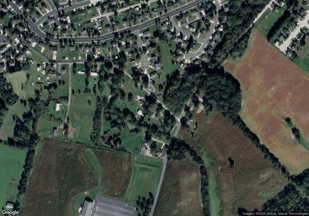
Map
Nearby Homes
- 15 Yorktowne Ct Unit 97
- 28 Gettysburg Ct Unit 60
- 22 Rita Marie Ave
- 129 W King St
- 1024 Frederick Pike Unit 6
- 117 Charles St
- 115 Charles St
- 52 Stayman Way Unit 81
- 161 Stoners Cir
- 61 E King St
- 140 Apple Grove Ln Unit 425
- 135 Apple Grove Ln Unit 438
- 440 N Queen St
- 211 E King St
- 58 Windsor Ct
- 48 Windsor Ct
- 162 Newark St
- 20c Locust Dr
- 0 Locust Dr Unit PAAD2015910
- 20 Locust Dr
- 315 Mengus Mill Rd Unit A
- 315 Mengus Mill Rd Unit H
- 315 Mengus Mill Rd Unit 3
- 315 Mengus Mill Rd Unit F
- 315 Mengus Mill Rd Unit G
- 315 Mengus Mill Rd
- 315 Mengus Mill Rd Unit H
- 315D Mengus Mill Rd
- 201 S Columbus Ave Unit 87
- 197 S Columbus Ave Unit 86
- 217 S Columbus Ave Unit 89
- 233 S Columbus Ave Unit 90
- 193 S Columbus Ave Unit 85
- 229 S Columbus Ave Unit 91
- 204 S Columbus Ave Unit 156
- 196 S Columbus Ave Unit 157
- 212 S Columbus Ave Unit 155
- 508 Lexington Way Unit 82
- 189 S Columbus Ave Unit 84
- 500 Lexington Way Unit 83