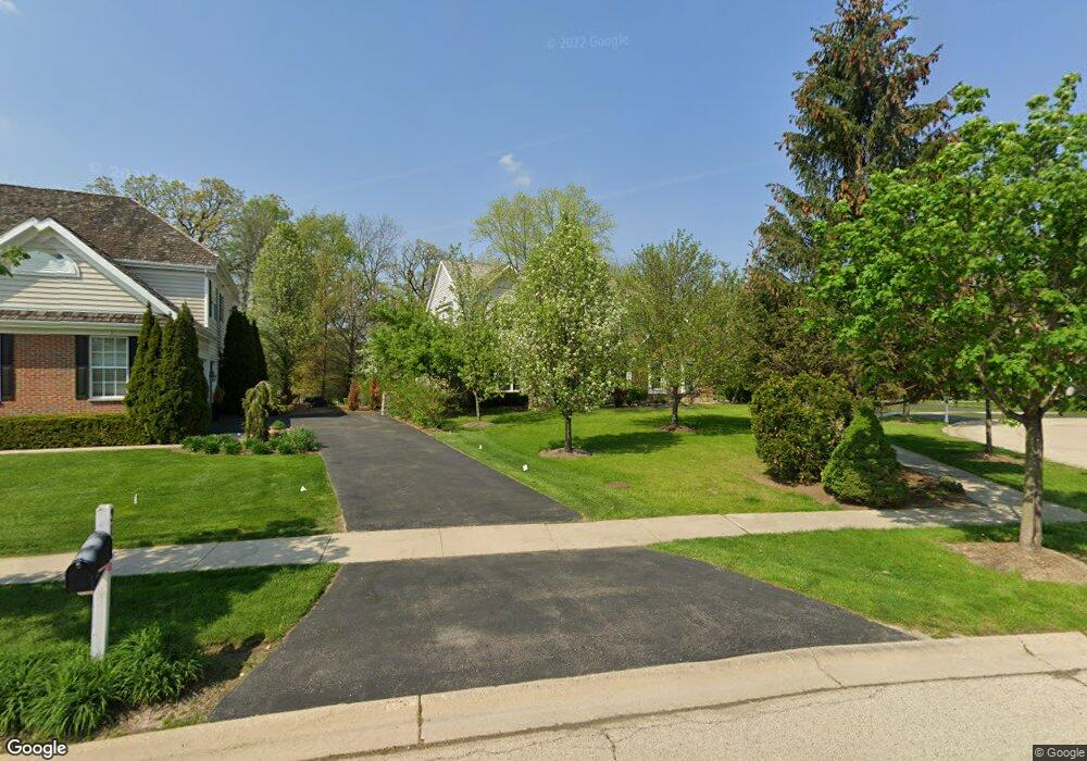
315 Morgan Ln Fox River Grove, IL 60021
Estimated Value: $731,070 - $789,000
4
Beds
3
Baths
3,650
Sq Ft
$209/Sq Ft
Est. Value
About This Home
This home is located at 315 Morgan Ln, Fox River Grove, IL 60021 and is currently estimated at $763,518, approximately $209 per square foot. 315 Morgan Ln is a home located in Lake County with nearby schools including Countryside Elementary School, Barrington Mdle School- Prairie Cmps, and Barrington High School.
Ownership History
Date
Name
Owned For
Owner Type
Purchase Details
Closed on
Oct 6, 2000
Sold by
Hunters Farm Ltd Partnership
Bought by
Lane Conor P and Lane Anahita
Current Estimated Value
Home Financials for this Owner
Home Financials are based on the most recent Mortgage that was taken out on this home.
Original Mortgage
$320,000
Outstanding Balance
$117,034
Interest Rate
7.96%
Estimated Equity
$646,484
Create a Home Valuation Report for This Property
The Home Valuation Report is an in-depth analysis detailing your home's value as well as a comparison with similar homes in the area
Home Values in the Area
Average Home Value in this Area
Purchase History
| Date | Buyer | Sale Price | Title Company |
|---|---|---|---|
| Lane Conor P | $505,500 | Stewart Title Company |
Source: Public Records
Mortgage History
| Date | Status | Borrower | Loan Amount |
|---|---|---|---|
| Open | Lane Conor P | $320,000 |
Source: Public Records
Tax History Compared to Growth
Tax History
| Year | Tax Paid | Tax Assessment Tax Assessment Total Assessment is a certain percentage of the fair market value that is determined by local assessors to be the total taxable value of land and additions on the property. | Land | Improvement |
|---|---|---|---|---|
| 2024 | $13,060 | $188,079 | $38,445 | $149,634 |
| 2023 | $13,001 | $178,274 | $36,441 | $141,833 |
| 2022 | $13,404 | $182,336 | $41,226 | $141,110 |
| 2021 | $13,070 | $179,235 | $40,525 | $138,710 |
| 2020 | $12,827 | $178,681 | $40,400 | $138,281 |
| 2019 | $12,330 | $173,966 | $39,334 | $134,632 |
| 2018 | $12,830 | $184,175 | $55,357 | $128,818 |
| 2017 | $12,770 | $180,475 | $54,245 | $126,230 |
| 2016 | $12,523 | $201,478 | $52,199 | $149,279 |
| 2015 | $13,839 | $188,968 | $48,958 | $140,010 |
| 2014 | $12,797 | $169,007 | $43,009 | $125,998 |
| 2012 | $12,338 | $171,912 | $43,748 | $128,164 |
Source: Public Records
Map
Nearby Homes
- 28442 W Main St
- 28629 W Ravine Dr
- 23433 N Summit Dr
- 9209 Jasmine Way
- 28437 W Lindbergh Dr
- Lot 1 N Owl Ct
- 28876 W Pioneer Grove Rd
- 911 Johnson St
- 28971 W Fox St
- 806 Norge Pkwy
- 5 Jacqueline Ln
- 6 Jacqueline Ln
- 599 Plum Tree Rd
- 28740 W Bloners Dr
- 24211 N Riverside Dr
- 27784 W Flynn Creek Dr
- LOT 2 Asbury Ave
- Lot 1 Asbury Ave
- 502 Windsor Cir
- 902 Spring Beach Way
- 313 Morgan Ln
- 317 Morgan Ln
- 311 Morgan Ln
- 401 Morgan Ln
- 28533 W Heritage Oaks Rd
- 28561 W Heritage Oaks Rd
- 312 Morgan Ln
- 403 Morgan Ln
- 309 Morgan Ln
- 28507 W Heritage Oaks Rd
- 310 Morgan Ln
- 28587 W Heritage Oaks Rd
- 405 Morgan Ln
- 307 Morgan Ln
- 309 Saddle Ln
- 28474 Casey Ct
- 28479 W Heritage Oaks Rd
- 307 Saddle Ln
- 28617 W Heritage Oaks Rd
- 306 Morgan Ln