315 Morsetown Rd West Milford, NJ 07480
Estimated Value: $464,217 - $657,000
--
Bed
--
Bath
2,188
Sq Ft
$264/Sq Ft
Est. Value
About This Home
This home is located at 315 Morsetown Rd, West Milford, NJ 07480 and is currently estimated at $577,054, approximately $263 per square foot. 315 Morsetown Rd is a home located in Passaic County with nearby schools including Macopin Middle School and West Milford High School.
Ownership History
Date
Name
Owned For
Owner Type
Purchase Details
Closed on
Dec 22, 1999
Sold by
Capital Asset Research Funding 1997-A Lp
Bought by
Decesare Scott
Current Estimated Value
Purchase Details
Closed on
Dec 5, 1998
Sold by
Decesare Scott and Decesare Julia
Bought by
Decesare Scott and Decesare Julia
Home Financials for this Owner
Home Financials are based on the most recent Mortgage that was taken out on this home.
Original Mortgage
$141,000
Interest Rate
6.84%
Create a Home Valuation Report for This Property
The Home Valuation Report is an in-depth analysis detailing your home's value as well as a comparison with similar homes in the area
Home Values in the Area
Average Home Value in this Area
Purchase History
| Date | Buyer | Sale Price | Title Company |
|---|---|---|---|
| Decesare Scott | $12,000 | -- | |
| Decesare Scott | -- | First American Title Ins Co |
Source: Public Records
Mortgage History
| Date | Status | Borrower | Loan Amount |
|---|---|---|---|
| Previous Owner | Decesare Scott | $141,000 |
Source: Public Records
Tax History Compared to Growth
Tax History
| Year | Tax Paid | Tax Assessment Tax Assessment Total Assessment is a certain percentage of the fair market value that is determined by local assessors to be the total taxable value of land and additions on the property. | Land | Improvement |
|---|---|---|---|---|
| 2025 | $9,044 | $223,100 | $119,700 | $103,400 |
| 2024 | $9,091 | $223,100 | $119,700 | $103,400 |
| 2022 | $8,630 | $223,100 | $119,700 | $103,400 |
| 2021 | $8,444 | $223,100 | $119,700 | $103,400 |
| 2020 | $8,355 | $223,100 | $119,700 | $103,400 |
| 2019 | $8,244 | $223,100 | $119,700 | $103,400 |
| 2018 | $8,223 | $223,100 | $119,700 | $103,400 |
| 2017 | $10,439 | $281,900 | $119,700 | $162,200 |
| 2016 | $10,456 | $281,900 | $119,700 | $162,200 |
| 2015 | $10,334 | $281,900 | $119,700 | $162,200 |
| 2014 | $10,084 | $281,900 | $119,700 | $162,200 |
Source: Public Records
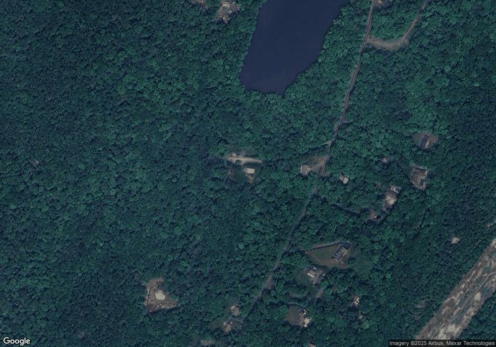
Map
Nearby Homes
- 7 Rockburn Pass
- 145 Mountain Cir S
- 91 Heritage Dr
- 82 Heritage Dr
- 430 Ridge Rd
- 85 Mountain Cir N
- 1311 Richmond Rd
- 1311 Richmond Rd Unit 311
- 2 Richmond Rd Unit 222
- 2 Richmond Rd Unit 315
- 2 Richmond Rd Unit 210
- 24 Lozier Ct
- 4 Richmond Rd Unit 112
- 4 Richmond Roadsuite308 Unit 308
- 60 Eagles Nest Terrace
- 45 Heritage Dr
- 6110 Richmond Rd Unit 110
- 6110 Richmond Rd
- 2 Iron Hill
- 6315 Richmond Rd Unit 315
- 0 Raymond Blvd
- 22 Raymond Blvd
- 317 Morsetown Rd
- 300 Morsetown Rd
- 290 Morsetown Rd
- 314 Morsetown Rd
- 275 Morsetown Rd
- 00 Morsetown Rd
- 318 Morsetown Rd
- 280 Morsetown Rd
- 271 Morsetown Rd
- 265 Morsetown Rd
- 324 Morsetown Rd
- 330 Morsetown Rd
- 266 Morsetown Rd
- 272 Morsetown Rd
- 260 Morsetown Rd
- 356 Morsetown Rd
- 360 Morsetown Rd
- 254 Morsetown Rd