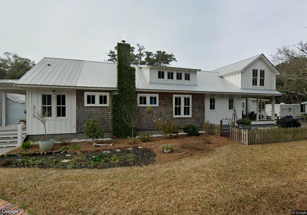
315 N Caswell Ave Southport, NC 28461
Estimated Value: $566,000 - $763,608
2
Beds
1
Bath
1,275
Sq Ft
$522/Sq Ft
Est. Value
About This Home
This home is located at 315 N Caswell Ave, Southport, NC 28461 and is currently estimated at $665,152, approximately $521 per square foot. 315 N Caswell Ave is a home located in Brunswick County with nearby schools including Southport Elementary School, South Brunswick Middle School, and South Brunswick High School.
Ownership History
Date
Name
Owned For
Owner Type
Purchase Details
Closed on
Aug 5, 2013
Sold by
Tanner E O and Tanner Shirley
Bought by
Deale William James and Tanner Gwen
Current Estimated Value
Purchase Details
Closed on
Aug 3, 2010
Sold by
Deale William James and Tanner Gwendolyn
Bought by
Tanner E O
Purchase Details
Closed on
May 5, 2006
Sold by
Aldridge Santa Lee and Aldridge Shaaron G
Bought by
Siesta Village Inc
Create a Home Valuation Report for This Property
The Home Valuation Report is an in-depth analysis detailing your home's value as well as a comparison with similar homes in the area
Home Values in the Area
Average Home Value in this Area
Purchase History
| Date | Buyer | Sale Price | Title Company |
|---|---|---|---|
| Deale William James | -- | None Available | |
| Tanner E O | $156,000 | None Available | |
| Siesta Village Inc | $645,000 | None Available |
Source: Public Records
Tax History Compared to Growth
Tax History
| Year | Tax Paid | Tax Assessment Tax Assessment Total Assessment is a certain percentage of the fair market value that is determined by local assessors to be the total taxable value of land and additions on the property. | Land | Improvement |
|---|---|---|---|---|
| 2025 | $3,875 | $516,200 | $127,410 | $388,790 |
| 2024 | $3,875 | $502,180 | $127,410 | $374,770 |
| 2023 | $3,696 | $502,180 | $127,410 | $374,770 |
| 2022 | $3,696 | $358,010 | $92,660 | $265,350 |
| 2021 | $2,822 | $310,420 | $92,660 | $217,760 |
| 2020 | $1,592 | $177,190 | $92,660 | $84,530 |
| 2019 | $1,592 | $93,170 | $92,660 | $510 |
| 2018 | $1,367 | $77,760 | $77,220 | $540 |
| 2017 | $1,355 | $77,760 | $77,220 | $540 |
| 2016 | $1,255 | $77,760 | $77,220 | $540 |
| 2015 | $1,255 | $149,880 | $77,220 | $72,660 |
| 2014 | $1,362 | $173,364 | $118,970 | $54,394 |
Source: Public Records
Map
Nearby Homes
- 210 W West St
- 229 N Caswell Ave
- 207 Clarendon Ave
- 220 N Caswell Ave
- 409 N Lord St
- 209 N Lord St
- 424 West St
- 403 N Howe St
- 2308 Crescent Bay Dr
- 2293 Crescent Bay Dr
- 205 W Leonard St
- 606 W Brown St Unit K
- 606 W Brown St Unit D
- 111 N Caswell Ave
- 520 Clarendon Ave
- 608 W Brown St Unit C
- 608 W Brown St Unit F
- 311 College St
- Lot 8 Clarendon Ave
- 516 W Brunswick St
- 303 W Brown St
- 306 Hillcrest Dr
- 309 W Brown St
- 311 W Brown St
- 316 N Caswell Ave
- 308 W West St
- 308 W West St
- 302 W Brown St
- 312 Clarendon Ave
- 304 W West St
- 216 West St
- 404 Clarendon Ave
- 404 Clarendon Ave
- 316 W West St
- 407 N Caswell Ave
- 400 N Caswell Ave
- 206 W West St St
- 210 W West St Unit A
- 411 N Caswell Ave
- 206 W West St Unit W