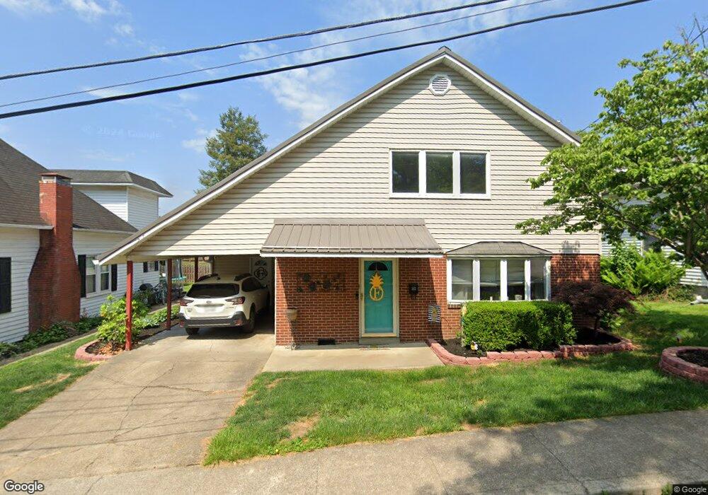
315 N Center St Bridgeport, WV 26330
Estimated Value: $337,000 - $395,000
3
Beds
2
Baths
2,396
Sq Ft
$151/Sq Ft
Est. Value
About This Home
This home is located at 315 N Center St, Bridgeport, WV 26330 and is currently estimated at $362,214, approximately $151 per square foot. 315 N Center St is a home located in Harrison County with nearby schools including Heritage Christian School and Dollie Hilll Christian Academy.
Ownership History
Date
Name
Owned For
Owner Type
Purchase Details
Closed on
Apr 18, 2022
Sold by
Forren Joyce A
Bought by
Donnellan Jaden Nicole and Cheshire Logan Allen
Current Estimated Value
Home Financials for this Owner
Home Financials are based on the most recent Mortgage that was taken out on this home.
Original Mortgage
$325,000
Outstanding Balance
$307,117
Interest Rate
5%
Mortgage Type
New Conventional
Estimated Equity
$55,097
Purchase Details
Closed on
Apr 1, 2010
Sold by
Forren Richard T
Bought by
Forren Joyce A
Create a Home Valuation Report for This Property
The Home Valuation Report is an in-depth analysis detailing your home's value as well as a comparison with similar homes in the area
Home Values in the Area
Average Home Value in this Area
Purchase History
| Date | Buyer | Sale Price | Title Company |
|---|---|---|---|
| Donnellan Jaden Nicole | $325,000 | Bakers11 Daniel T | |
| Forren Joyce A | -- | None Available |
Source: Public Records
Mortgage History
| Date | Status | Borrower | Loan Amount |
|---|---|---|---|
| Open | Donnellan Jaden Nicole | $325,000 |
Source: Public Records
Tax History Compared to Growth
Tax History
| Year | Tax Paid | Tax Assessment Tax Assessment Total Assessment is a certain percentage of the fair market value that is determined by local assessors to be the total taxable value of land and additions on the property. | Land | Improvement |
|---|---|---|---|---|
| 2025 | $2,673 | $175,440 | $22,680 | $152,760 |
| 2024 | $2,673 | $163,800 | $22,680 | $141,120 |
| 2023 | $2,466 | $152,220 | $22,680 | $129,540 |
| 2022 | $1,597 | $103,920 | $22,680 | $81,240 |
| 2021 | $1,566 | $102,840 | $22,680 | $80,160 |
| 2020 | $1,517 | $100,380 | $22,680 | $77,700 |
| 2019 | $1,514 | $100,140 | $22,680 | $77,460 |
| 2018 | $1,489 | $98,820 | $21,420 | $77,400 |
| 2017 | $1,446 | $96,300 | $21,420 | $74,880 |
| 2016 | $1,425 | $95,820 | $21,420 | $74,400 |
| 2015 | $1,400 | $92,700 | $20,160 | $72,540 |
| 2014 | $1,339 | $88,740 | $16,380 | $72,360 |
Source: Public Records
Map
Nearby Homes
- 102 W Philadelphia Ave
- 422 Worthington Dr
- 120 Center Ct
- 307 Pennsylvania Ave
- 220 Davisson St
- 119 Hill St
- 303 Lexington Cir
- 216 Davisson St
- 230 Grand Ave
- 117 Newton Ave
- 420 Water St
- 428 James St
- 308 S Virginia Ave
- 20 Meadow Ln
- 406 Willis Ave
- 221 Broadway Ave
- 111 Circle Dr
- 640 Pennsylvania Ave
- 632 Lawman Ave
- 220 Meadow View Dr
- 311 N Center St
- 319 N Center St
- 111 Ross St
- 314 N Center St
- 322 N Center St
- 327 N Center St
- 102 Center Ct
- 112 W Philadelphia Ave
- 114 W Philadelphia Ave
- 312 Worthington Dr
- 331 N Center St
- 110 Ross St
- 330 N Center St
- 118 W Philadelphia Ave
- 316 Worthington Dr
- 101 London Ct
- 335 N Center St
- 101 W Philadelphia Ave
- 106 Center Ct
- 103 London Ct