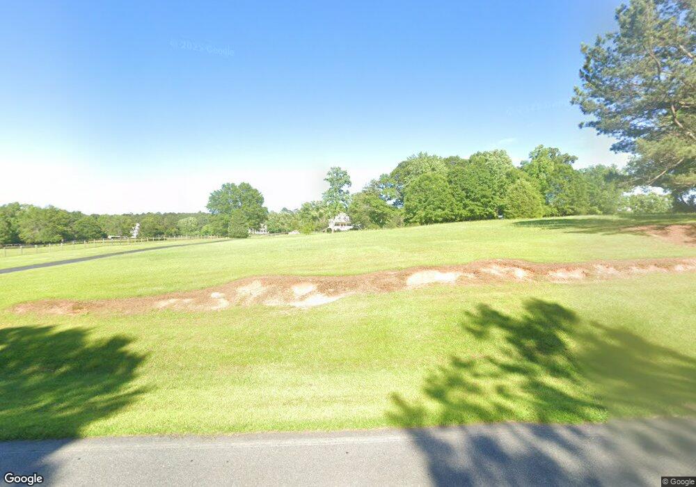
315 North Rd Senoia, GA 30276
Estimated Value: $380,000 - $488,000
3
Beds
2
Baths
1,777
Sq Ft
$244/Sq Ft
Est. Value
About This Home
This home is located at 315 North Rd, Senoia, GA 30276 and is currently estimated at $433,091, approximately $243 per square foot. 315 North Rd is a home located in Coweta County with nearby schools including Poplar Road Elementary School, East Coweta Middle School, and East Coweta High School.
Ownership History
Date
Name
Owned For
Owner Type
Purchase Details
Closed on
Mar 12, 1993
Bought by
Odom Dan C and Odom Rebecca
Current Estimated Value
Purchase Details
Closed on
Jul 15, 1975
Bought by
Odom Dan C
Create a Home Valuation Report for This Property
The Home Valuation Report is an in-depth analysis detailing your home's value as well as a comparison with similar homes in the area
Home Values in the Area
Average Home Value in this Area
Purchase History
| Date | Buyer | Sale Price | Title Company |
|---|---|---|---|
| Odom Dan C | -- | -- | |
| Odom Dan C | -- | -- |
Source: Public Records
Tax History Compared to Growth
Tax History
| Year | Tax Paid | Tax Assessment Tax Assessment Total Assessment is a certain percentage of the fair market value that is determined by local assessors to be the total taxable value of land and additions on the property. | Land | Improvement |
|---|---|---|---|---|
| 2025 | $2,955 | $175,435 | $56,177 | $119,258 |
| 2024 | $2,420 | $147,338 | $33,714 | $113,624 |
| 2023 | $2,420 | $138,330 | $34,024 | $104,306 |
| 2022 | $2,829 | $119,553 | $30,930 | $88,623 |
| 2021 | $2,787 | $110,556 | $29,458 | $81,098 |
| 2020 | $2,805 | $110,556 | $29,458 | $81,098 |
| 2019 | $2,406 | $86,998 | $21,482 | $65,516 |
| 2018 | $2,411 | $86,998 | $21,482 | $65,516 |
| 2017 | $2,410 | $86,998 | $21,482 | $65,516 |
| 2016 | $2,383 | $86,998 | $21,482 | $65,516 |
| 2015 | $2,345 | $86,998 | $21,482 | $65,516 |
| 2014 | $2,329 | $86,998 | $21,482 | $65,516 |
Source: Public Records
Map
Nearby Homes
- 296 Mcintosh Trail
- 244 Turin Rd
- 483 Mcintosh Trail
- Briarwood Plan at Twelve Parks 55+
- Sullivan Plan at Twelve Parks 55+
- 4 Unicoi Trail
- 12 Unicoi Trail
- Crestwood Plan at Twelve Parks 55+
- 98 Keown Loop
- Brunswick Plan at Twelve Parks 55+
- 42 S Hunter St
- 28 Fawn Ct
- 1 Mcintosh Trail
- 138 Main St
- 0 Bob Smith Rd Unit 10562838
- 24 Tallulah Trail
- Grayson with Basement Plan at Twelve Parks - Ranch
- Denton with Basement Plan at Twelve Parks - Ranch
- Sullivan Plan at Twelve Parks - Ranch
- Denton Plan at Twelve Parks - Ranch
- 287 N Hunter St
- 325 North Rd
- 337 North Rd
- 381 North Rd
- 351 North Rd
- 0 North Rd Unit LOT 1 3212886
- 0 North Rd Unit LOT 11 3226497
- 0 North Rd Unit LOT 11 7108977
- 0 North Rd Unit LOT 11 7359743
- 0 North Rd Unit LOT 11 8127793
- 0 North Rd Unit 3.0+/- Acres 8980667
- 245 N Hunter St
- 0 West Rd Unit 7157973
- 0 West Rd Unit 8960567
- 354 North Rd
- 227 N Hunter St
- 398 North Rd
- 126 Odom Rd
- 48 West Rd
- 88 Odom Rd