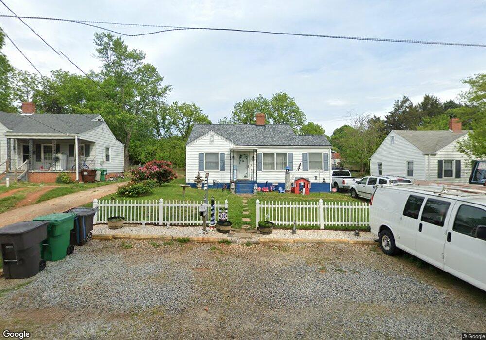
315 Player Dr High Point, NC 27260
Greater High Point NeighborhoodEstimated Value: $98,000 - $196,000
2
Beds
1
Bath
1,459
Sq Ft
$106/Sq Ft
Est. Value
About This Home
This home is located at 315 Player Dr, High Point, NC 27260 and is currently estimated at $153,957, approximately $105 per square foot. 315 Player Dr is a home located in Guilford County with nearby schools including Fairview Elementary School, Ferndale Middle School, and High Point Central High School.
Ownership History
Date
Name
Owned For
Owner Type
Purchase Details
Closed on
Nov 8, 1999
Sold by
Lawrence Lynda B
Bought by
Terrell Sharon J
Current Estimated Value
Home Financials for this Owner
Home Financials are based on the most recent Mortgage that was taken out on this home.
Original Mortgage
$70,650
Outstanding Balance
$21,585
Interest Rate
7.76%
Estimated Equity
$132,372
Create a Home Valuation Report for This Property
The Home Valuation Report is an in-depth analysis detailing your home's value as well as a comparison with similar homes in the area
Home Values in the Area
Average Home Value in this Area
Purchase History
| Date | Buyer | Sale Price | Title Company |
|---|---|---|---|
| Terrell Sharon J | $80,000 | -- |
Source: Public Records
Mortgage History
| Date | Status | Borrower | Loan Amount |
|---|---|---|---|
| Open | Terrell Sharon J | $70,650 |
Source: Public Records
Tax History
| Year | Tax Paid | Tax Assessment Tax Assessment Total Assessment is a certain percentage of the fair market value that is determined by local assessors to be the total taxable value of land and additions on the property. | Land | Improvement |
|---|---|---|---|---|
| 2025 | $1,193 | $86,600 | $10,000 | $76,600 |
| 2024 | $1,193 | $86,600 | $10,000 | $76,600 |
| 2023 | $1,193 | $86,600 | $10,000 | $76,600 |
| 2022 | $1,167 | $86,600 | $10,000 | $76,600 |
| 2021 | $790 | $57,300 | $10,000 | $47,300 |
| 2020 | $790 | $57,300 | $10,000 | $47,300 |
| 2019 | $790 | $57,300 | $0 | $0 |
| 2018 | $786 | $57,300 | $0 | $0 |
| 2017 | $790 | $57,300 | $0 | $0 |
| 2016 | $1,031 | $73,500 | $0 | $0 |
| 2015 | $1,036 | $73,500 | $0 | $0 |
| 2014 | $1,054 | $73,500 | $0 | $0 |
Source: Public Records
Map
Nearby Homes
- 335 Nathan Hunt Dr
- 1103 Jefferson St
- 1012 Jefferson St
- 1010 Grace St
- 1021 Asheboro St
- 206 Model Farm Rd
- 925 Randolph St
- 312 Model Farm Rd
- 909 Randolph St
- 1015 Sharon St
- 650 Wesley Dr
- 705 Wise Ave
- 206 E Moore Ave
- 640 Wesley Dr
- 4304 Griffins Gate Ln
- 1504 Cloverdale St
- 607 Martha Place
- 609 Martha Place
- 1309 Pershing St
- 1222 Carter St
Your Personal Tour Guide
Ask me questions while you tour the home.