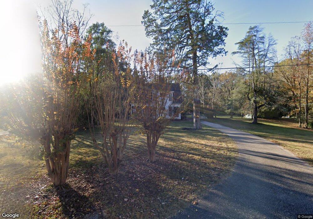
315 Potts Rd Lagrange, GA 30240
Estimated Value: $341,000 - $514,000
3
Beds
3
Baths
3,529
Sq Ft
$125/Sq Ft
Est. Value
About This Home
This home is located at 315 Potts Rd, Lagrange, GA 30240 and is currently estimated at $440,499, approximately $124 per square foot. 315 Potts Rd is a home located in Troup County with nearby schools including Long Cane Elementary School, West Point Elementary School, and Berta Weathersbee Elementary School.
Ownership History
Date
Name
Owned For
Owner Type
Purchase Details
Closed on
Mar 25, 2024
Sold by
Tomco Rentals Llc
Bought by
Herson Thomas J Trust and Thomas J Herson Trust
Current Estimated Value
Purchase Details
Closed on
Apr 10, 2002
Sold by
Paul Bryan Basham
Bought by
Herson Thomas J
Purchase Details
Closed on
Mar 23, 2001
Sold by
Joann Calhoun
Bought by
Paul Bryan Basham
Purchase Details
Closed on
Oct 26, 1999
Sold by
Zawadski Dennis
Bought by
Joann Calhoun
Purchase Details
Closed on
Dec 1, 1989
Sold by
Fuller James H and Fuller Mary P
Bought by
Zawadski Dennis
Purchase Details
Closed on
Nov 1, 1978
Bought by
Fuller James H and Fuller Mary P
Purchase Details
Closed on
Aug 1, 1978
Sold by
Pottsedna F Estate Of
Create a Home Valuation Report for This Property
The Home Valuation Report is an in-depth analysis detailing your home's value as well as a comparison with similar homes in the area
Purchase History
| Date | Buyer | Sale Price | Title Company |
|---|---|---|---|
| Herson Thomas J Trust | -- | -- | |
| Herson Thomas J | $241,000 | -- | |
| Paul Bryan Basham | $199,000 | -- | |
| Joann Calhoun | $198,000 | -- | |
| Zawadski Dennis | $150,000 | -- | |
| Fuller James H | -- | -- | |
| -- | -- | -- |
Source: Public Records
Tax History
| Year | Tax Paid | Tax Assessment Tax Assessment Total Assessment is a certain percentage of the fair market value that is determined by local assessors to be the total taxable value of land and additions on the property. | Land | Improvement |
|---|---|---|---|---|
| 2025 | $4,201 | $162,760 | $40,000 | $122,760 |
| 2024 | $3,922 | $143,800 | $40,000 | $103,800 |
| 2023 | $3,907 | $143,240 | $40,000 | $103,240 |
| 2022 | $3,246 | $136,840 | $40,000 | $96,840 |
| 2021 | $3,154 | $104,560 | $26,000 | $78,560 |
| 2020 | $2,124 | $70,440 | $17,160 | $53,280 |
| 2019 | $2,158 | $71,560 | $17,160 | $54,400 |
| 2018 | $2,009 | $66,600 | $17,160 | $49,440 |
| 2017 | $2,009 | $66,600 | $17,160 | $49,440 |
Source: Public Records
Map
Nearby Homes
- 90 Hickory Ln
- 0 Lambert Rd
- 5714 W Point Rd
- Sandtown Road Unit: 1 2+ - Acre
- 0 Sandtown Rd Unit 10255987
- 107 Sweetwater Ct
- 107 Waters Edge Dr
- 102 Bridgewater Dr
- 394 Ferrell Tatum Rd
- 206 Ann Murphy Rd
- 1111 County Road 212
- 0 Warner Rd Unit 10686116
- 1095 County Road 212
- 648 Warner Rd
- 1114 Clara Dr E
- 1111 Clara Dr E
- 0 Ga Highway 0116 Unit 10619139
- 1248 Cannonville Rd
- 1903 Ridgewood Dr
- 508 Pine St
Your Personal Tour Guide
Ask me questions while you tour the home.