315 Riverstone Dr Covington, GA 30014
Estimated Value: $461,279 - $483,000
--
Bed
1
Bath
3,776
Sq Ft
$126/Sq Ft
Est. Value
About This Home
This home is located at 315 Riverstone Dr, Covington, GA 30014 and is currently estimated at $474,320, approximately $125 per square foot. 315 Riverstone Dr is a home with nearby schools including Porterdale Elementary School, Clements Middle School, and Newton High School.
Ownership History
Date
Name
Owned For
Owner Type
Purchase Details
Closed on
May 23, 2014
Sold by
D R Horton Crown Llc
Bought by
Nesbitt Melissa
Current Estimated Value
Home Financials for this Owner
Home Financials are based on the most recent Mortgage that was taken out on this home.
Original Mortgage
$251,107
Outstanding Balance
$190,799
Interest Rate
4.25%
Mortgage Type
FHA
Estimated Equity
$283,521
Purchase Details
Closed on
Apr 29, 2013
Sold by
Mckinney Eastern Atlanta P
Bought by
Jefferson Homes Inc
Create a Home Valuation Report for This Property
The Home Valuation Report is an in-depth analysis detailing your home's value as well as a comparison with similar homes in the area
Home Values in the Area
Average Home Value in this Area
Purchase History
| Date | Buyer | Sale Price | Title Company |
|---|---|---|---|
| Nesbitt Melissa | $255,740 | -- | |
| Jefferson Homes Inc | $112,000 | -- |
Source: Public Records
Mortgage History
| Date | Status | Borrower | Loan Amount |
|---|---|---|---|
| Open | Nesbitt Melissa | $251,107 |
Source: Public Records
Tax History Compared to Growth
Tax History
| Year | Tax Paid | Tax Assessment Tax Assessment Total Assessment is a certain percentage of the fair market value that is determined by local assessors to be the total taxable value of land and additions on the property. | Land | Improvement |
|---|---|---|---|---|
| 2024 | $4,587 | $179,560 | $26,000 | $153,560 |
| 2023 | $4,610 | $168,480 | $10,000 | $158,480 |
| 2022 | $3,186 | $116,000 | $10,000 | $106,000 |
| 2021 | $3,619 | $118,080 | $10,000 | $108,080 |
| 2020 | $3,465 | $101,960 | $10,000 | $91,960 |
| 2019 | $3,490 | $101,160 | $10,000 | $91,160 |
| 2018 | $3,369 | $96,960 | $10,000 | $86,960 |
| 2017 | $3,533 | $101,760 | $10,000 | $91,760 |
| 2016 | $3,326 | $95,720 | $10,000 | $85,720 |
| 2015 | $3,174 | $91,280 | $10,000 | $81,280 |
| 2014 | $149 | $4,000 | $0 | $0 |
Source: Public Records
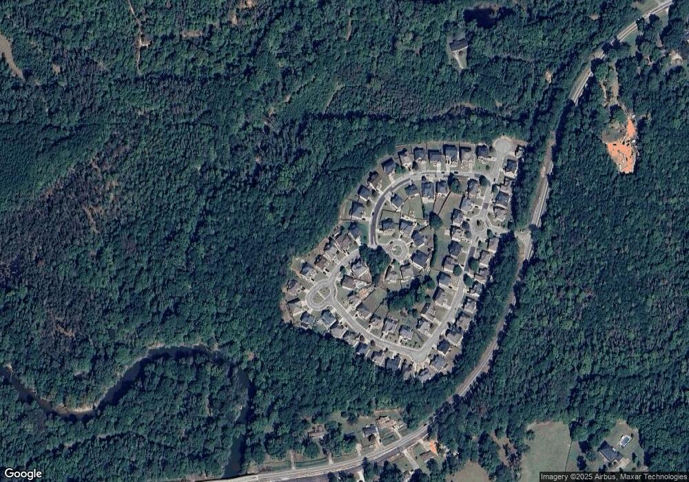
Map
Nearby Homes
- 11130 Benton Woods Dr
- 10166 Benton Woods Dr
- 10162 Benton Woods Dr
- 9061 Jim Purcell Dr
- 9014 Jim Purcell Dr
- 9185 Melody Cir SW
- 0 Brown Bridge Rd Unit 7531198
- 0 Brown Bridge Rd Unit 10439221
- 9004 Jim Purcell Dr
- 9213 Westview Dr SW
- 10195 Westview Dr SW
- 9184 Melody Ct SW
- 9250 Scarlett Dr SW
- 12109 Brown Bridge Rd
- 12103 Brown Bridge Rd
- 8216 Lakeview Dr SW
- 8150 Lakeview Dr SW
- 9150 Spillers Dr SW
- 8196 Lakeview Dr SW
- 10161 N Dinah Cir
- 305 Riverstone Dr Unit LOT 28
- 305 Riverstone Dr
- 325 Riverstone Dr
- 25 Waters Edge Ln Unit LOT 31
- 25 Waters Edge Ln
- 295 Riverstone Dr
- 300 Riverstone Dr
- 285 Riverstone Dr
- 35 Waters Edge Ln Unit LOT 32
- 35 Waters Edge Ln
- 290 Riverstone Dr
- 290 Riverstone Dr Unit LOT 56
- 10 Waters Edge Ln
- 10 Waters Edge Ln Unit LOT 64
- 345 Riverstone Dr
- 240 Riverstone Dr
- 45 Waters Edge Ln Unit Lot 3
- 30 Waters Edge Ln Unit LOT 65
- 30 Waters Edge Ln
- 275 Riverstone Dr