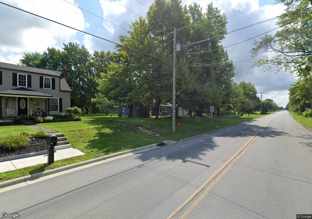
315 S Franklin St Richwood, OH 43344
Estimated Value: $156,000 - $191,000
2
Beds
1
Bath
1,217
Sq Ft
$141/Sq Ft
Est. Value
About This Home
This home is located at 315 S Franklin St, Richwood, OH 43344 and is currently estimated at $171,652, approximately $141 per square foot. 315 S Franklin St is a home located in Union County with nearby schools including North Union Elementary School, North Union Middle School, and North Union High School.
Ownership History
Date
Name
Owned For
Owner Type
Purchase Details
Closed on
Oct 27, 2021
Sold by
Jerew William S and Jerew Katie
Bought by
Pheifer Steven
Current Estimated Value
Home Financials for this Owner
Home Financials are based on the most recent Mortgage that was taken out on this home.
Original Mortgage
$108,007
Outstanding Balance
$98,492
Interest Rate
2.8%
Mortgage Type
FHA
Estimated Equity
$73,160
Purchase Details
Closed on
Nov 2, 2005
Sold by
Eaches Steven Ray and Eaches Nelda K
Bought by
Eaches Steven Ray and Eaches Nelda K
Create a Home Valuation Report for This Property
The Home Valuation Report is an in-depth analysis detailing your home's value as well as a comparison with similar homes in the area
Home Values in the Area
Average Home Value in this Area
Purchase History
| Date | Buyer | Sale Price | Title Company |
|---|---|---|---|
| Pheifer Steven | $110,000 | Terry Monnie Title | |
| Eaches Steven Ray | -- | -- |
Source: Public Records
Mortgage History
| Date | Status | Borrower | Loan Amount |
|---|---|---|---|
| Open | Pheifer Steven | $108,007 |
Source: Public Records
Tax History Compared to Growth
Tax History
| Year | Tax Paid | Tax Assessment Tax Assessment Total Assessment is a certain percentage of the fair market value that is determined by local assessors to be the total taxable value of land and additions on the property. | Land | Improvement |
|---|---|---|---|---|
| 2024 | $1,572 | $32,390 | $6,060 | $26,330 |
| 2023 | $1,572 | $32,390 | $6,060 | $26,330 |
| 2022 | $1,532 | $32,390 | $6,060 | $26,330 |
| 2021 | $1,379 | $26,790 | $4,670 | $22,120 |
| 2020 | $1,377 | $26,790 | $4,670 | $22,120 |
| 2019 | $1,385 | $26,790 | $4,670 | $22,120 |
| 2018 | $1,062 | $20,210 | $3,960 | $16,250 |
| 2017 | $981 | $20,210 | $3,960 | $16,250 |
| 2016 | $1,002 | $20,210 | $3,960 | $16,250 |
| 2015 | $818 | $15,830 | $3,960 | $11,870 |
| 2014 | $818 | $15,830 | $3,960 | $11,870 |
| 2013 | $787 | $15,830 | $3,960 | $11,870 |
Source: Public Records
Map
Nearby Homes
- 299 S Franklin St
- 607 Kells Ln
- 106 S Clinton St
- 20 E Bomford St
- 24 W Bomford St
- 119 W Ottawa St
- 380 E Blagrove St
- 220 Grove St Unit 220 1/2
- 268 N Franklin St
- 303 N Franklin St
- 11403 State Route 47
- 313 N Franklin St
- 29900 Le Masters Rd
- 0 Richwood Miller Rd Unit 225033397
- 0 Fulton Creek Rd
- 6343 State Route 4
- 27900 Zook Rd
- 27770 Zook Rd
- Tract 3 Claibourne & State Route 47 Rd
- 30760 Snare Rd
- 309 S Franklin St
- 28229 State Route 37
- 303 S Franklin St
- 34 Tawa Rd
- 304 S Franklin St
- 308 S Franklin St
- 28178 State Route 37
- 33 Tawa Rd
- 40 Tawa Rd
- 296 S Franklin St
- 297 S Franklin St
- 296 Pearl St
- 603 Kells Ln
- 605 Kells Ln
- 601 Kells Ln
- 295 S Franklin St
- 295 Pearl St
- 294 Pearl St
- 609 Kells Ln
- 28105 State Route 37