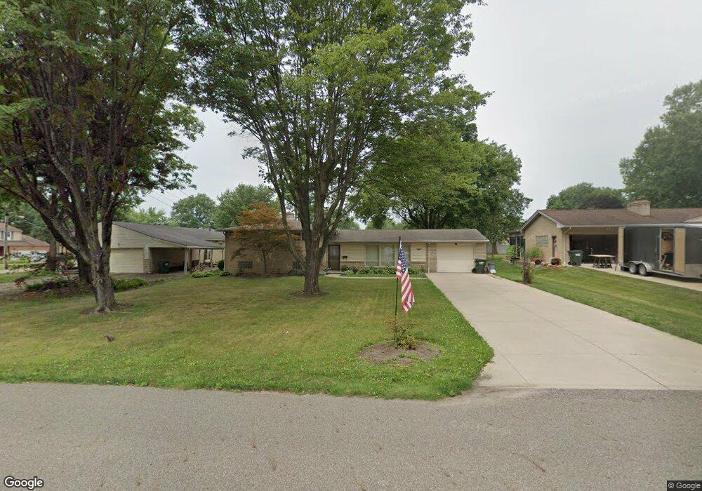
315 S Marion Ave Louisville, OH 44641
Estimated Value: $201,000 - $236,000
3
Beds
2
Baths
1,638
Sq Ft
$133/Sq Ft
Est. Value
About This Home
This home is located at 315 S Marion Ave, Louisville, OH 44641 and is currently estimated at $217,872, approximately $133 per square foot. 315 S Marion Ave is a home located in Stark County with nearby schools including Louisville High School and St. Thomas Aquinas High School & Middle School.
Ownership History
Date
Name
Owned For
Owner Type
Purchase Details
Closed on
Jun 25, 2002
Sold by
Stiefel Ruby E and Stiefel Ruby Elizabeth
Bought by
Coon Denise M
Current Estimated Value
Home Financials for this Owner
Home Financials are based on the most recent Mortgage that was taken out on this home.
Original Mortgage
$88,000
Outstanding Balance
$36,048
Interest Rate
6.37%
Mortgage Type
Purchase Money Mortgage
Estimated Equity
$181,824
Purchase Details
Closed on
Jul 9, 1993
Purchase Details
Closed on
Jun 22, 1989
Create a Home Valuation Report for This Property
The Home Valuation Report is an in-depth analysis detailing your home's value as well as a comparison with similar homes in the area
Home Values in the Area
Average Home Value in this Area
Purchase History
| Date | Buyer | Sale Price | Title Company |
|---|---|---|---|
| Coon Denise M | $110,000 | -- | |
| -- | $83,000 | -- | |
| -- | $68,000 | -- |
Source: Public Records
Mortgage History
| Date | Status | Borrower | Loan Amount |
|---|---|---|---|
| Open | Coon Denise M | $88,000 |
Source: Public Records
Tax History Compared to Growth
Tax History
| Year | Tax Paid | Tax Assessment Tax Assessment Total Assessment is a certain percentage of the fair market value that is determined by local assessors to be the total taxable value of land and additions on the property. | Land | Improvement |
|---|---|---|---|---|
| 2025 | -- | $60,140 | $15,790 | $44,350 |
| 2024 | -- | $60,140 | $15,790 | $44,350 |
| 2023 | $2,208 | $51,380 | $14,910 | $36,470 |
| 2022 | $2,214 | $51,380 | $14,910 | $36,470 |
| 2021 | $2,220 | $51,380 | $14,910 | $36,470 |
| 2020 | $1,894 | $47,600 | $13,440 | $34,160 |
| 2019 | $1,902 | $47,600 | $13,440 | $34,160 |
| 2018 | $1,894 | $47,600 | $13,440 | $34,160 |
| 2017 | $1,742 | $42,220 | $11,800 | $30,420 |
| 2016 | $1,777 | $42,220 | $11,800 | $30,420 |
| 2015 | $1,782 | $42,220 | $11,800 | $30,420 |
| 2014 | $1,657 | $36,480 | $10,190 | $26,290 |
| 2013 | $832 | $36,480 | $10,190 | $26,290 |
Source: Public Records
Map
Nearby Homes
- 1715 High St
- 1812 E Broad St
- 308 Superior St
- 641 S Nickelplate St
- 0 Michigan Blvd
- 520 S Silver St
- 2015 E Main St
- 728 E Broad St
- 2110 Edmar St
- 325 Lincoln Ave
- 204 E Broad St
- 510 S Bauman Ct
- 107 E Broad St
- 1170 Winding Ridge Ave
- 910 Crosswyck Cir
- 908 Sand Lot Cir
- 428 Honeycrisp Dr NE
- 3047 Mcintosh Dr NE
- 432 Honeycrisp Dr NE
- 2962 Mcintosh Dr NE
- 323 S Marion Ave
- 307 S Marion Ave
- 1525 Monter Ave
- 245 S Marion Ave
- 1517 Monter Ave
- 1540 Monter Ave
- 1530 Monter Ave
- 310 S Marion Ave
- 320 S Marion Ave
- 1516 Gulling Ave
- 1522 Monter Ave
- 300 S Marion Ave
- 235 S Marion Ave
- 1604 Monter Ave
- 1507 Monter Ave
- 1517 Gulling Ave
- 1514 Monter Ave
- 236 S Marion Ave
- 1614 Monter Ave
- 1500 Gulling Ave