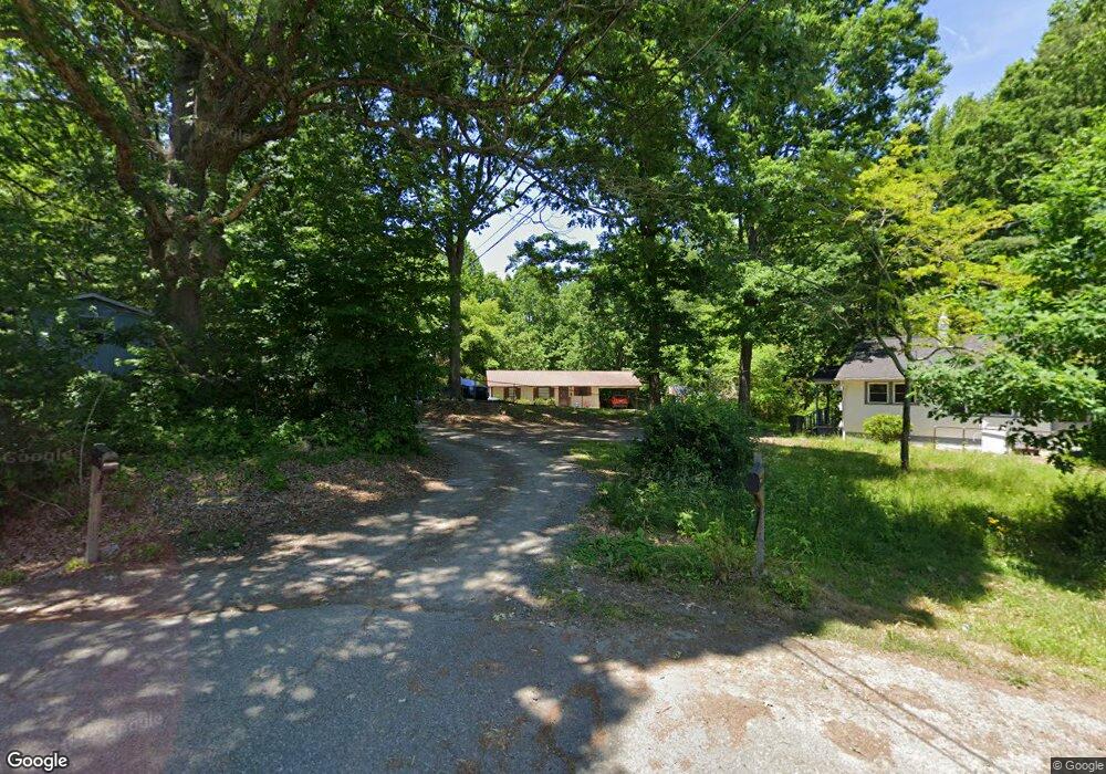
315 Saunders Dr Asheboro, NC 27203
Estimated Value: $109,000 - $161,000
--
Bed
1
Bath
836
Sq Ft
$163/Sq Ft
Est. Value
About This Home
This home is located at 315 Saunders Dr, Asheboro, NC 27203 and is currently estimated at $136,411, approximately $163 per square foot. 315 Saunders Dr is a home located in Randolph County with nearby schools including Balfour Elementary School, North Asheboro Middle School, and Asheboro High School.
Ownership History
Date
Name
Owned For
Owner Type
Purchase Details
Closed on
Feb 11, 2020
Sold by
Sutton Ronnie Douglas and Sutton Linda W
Bought by
Clark Thomas W and Clark Desiree Kay
Current Estimated Value
Home Financials for this Owner
Home Financials are based on the most recent Mortgage that was taken out on this home.
Original Mortgage
$50,000
Outstanding Balance
$34,548
Interest Rate
3.72%
Mortgage Type
Seller Take Back
Estimated Equity
$101,864
Purchase Details
Closed on
Sep 21, 2010
Sold by
Sutton Denny Michael Kenneth and Sutton Denny Virginia
Bought by
Sutton Ronnie Douglas
Purchase Details
Closed on
Sep 30, 1993
Bought by
Sutton Ronnie
Purchase Details
Closed on
Aug 11, 1988
Bought by
Sutton Ronnie
Create a Home Valuation Report for This Property
The Home Valuation Report is an in-depth analysis detailing your home's value as well as a comparison with similar homes in the area
Home Values in the Area
Average Home Value in this Area
Purchase History
| Date | Buyer | Sale Price | Title Company |
|---|---|---|---|
| Clark Thomas W | $50,000 | None Available | |
| Sutton Ronnie Douglas | -- | None Available | |
| Sutton Ronnie | $32,000 | -- | |
| Sutton Ronnie | $4,900 | -- |
Source: Public Records
Mortgage History
| Date | Status | Borrower | Loan Amount |
|---|---|---|---|
| Open | Clark Thomas W | $50,000 |
Source: Public Records
Tax History Compared to Growth
Tax History
| Year | Tax Paid | Tax Assessment Tax Assessment Total Assessment is a certain percentage of the fair market value that is determined by local assessors to be the total taxable value of land and additions on the property. | Land | Improvement |
|---|---|---|---|---|
| 2024 | $1,203 | $90,760 | $26,460 | $64,300 |
| 2023 | $1,203 | $90,760 | $26,460 | $64,300 |
| 2022 | $1,041 | $72,200 | $28,280 | $43,920 |
| 2021 | $1,041 | $72,200 | $28,280 | $43,920 |
| 2020 | $1,041 | $72,200 | $28,280 | $43,920 |
| 2019 | $1,041 | $72,200 | $28,280 | $43,920 |
| 2018 | $876 | $59,710 | $28,280 | $31,430 |
| 2016 | $876 | $59,710 | $28,280 | $31,430 |
| 2015 | $878 | $59,710 | $28,280 | $31,430 |
| 2014 | -- | $59,710 | $28,280 | $31,430 |
Source: Public Records
Map
Nearby Homes
- 0 English St
- 405 Saunders Dr
- 1537 Humble St
- 1650 Meadowbrook Rd
- 00 E Allred St
- 1249 Eton Ave
- 418 Westminster Dr
- 0 E Allred St Unit 1125495
- 447 Fern Dr
- 1319 E Allred St
- 455 Brookwood Dr
- 575 Twain Dr
- 738 Oak Bend Dr
- 740 Oak Bend Dr
- 0 Sharon Ave
- 311 Sharon Ave
- 00 Hillsdale Dr
- 728 Central Falls Rd
- 734 Central Falls Rd
- 1797 Windcrest Rd
- 317 Saunders Dr
- 303 Saunders Dr
- 301 Saunders Dr
- 305 Saunders Dr
- 211 Saunders Dr
- 319 Saunders Dr
- 310 Saunders Dr
- 207 Saunders Dr
- 1460 Hasty St
- 400 Saunders Dr
- 2 Saunders Dr
- 1459 Hasty St
- 1526 Ashley St
- 1526 Ashley St
- 1454 Hasty St
- 314 Ideal Dr
- 1453 Hasty St
- 1452 Hasty St
- 408 Saunders Dr
- 411 Saunders Dr