
Seller's Agent in 2025
Laura Veersma
Big Rapids Realty
(231) 796-4978
54 in this area
167 Total Sales
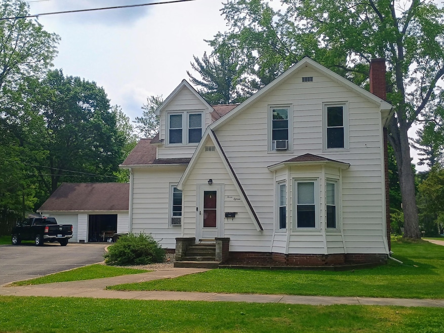
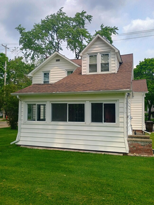
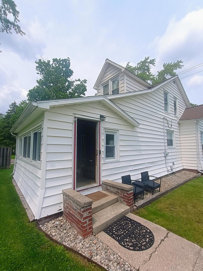

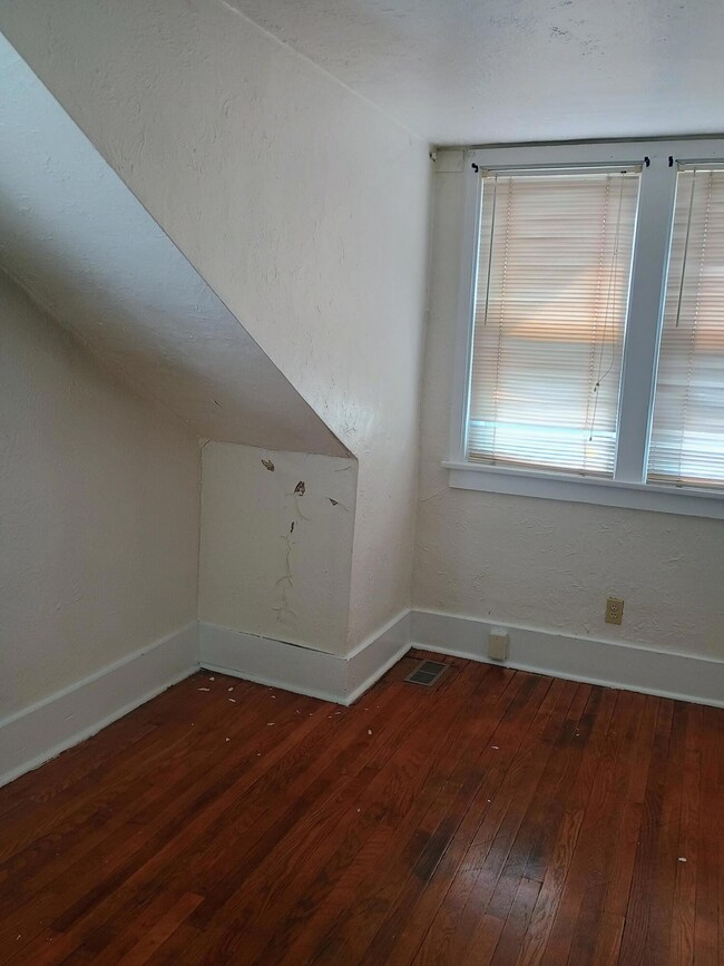
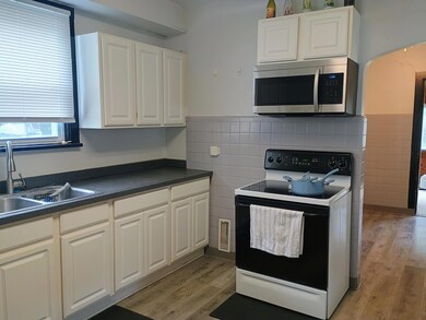

Great curb appeal with this 2 story home on a corner lot in City limits of Big Rapids. Close to shopping, city pool, schools and city parks just a few blocks away. Home has hardwood floors, custom built-in features, 4 bedrooms including 1 main floor bedroom and a primary ensuite upstairs and an oversized detached garage. Affordably priced.
Last Agent to Sell the Property
Big Rapids Realty License #6501312844 Listed on: 07/14/2025
| Date | Type | Sale Price | Title Company |
|---|---|---|---|
| Warranty Deed | $229,000 | Verified Title Agency | |
| Warranty Deed | $80,000 | Cfc Title | |
| Warranty Deed | -- | Mecosta County Abstract & Ti |
| Date | Status | Loan Amount | Loan Type |
|---|---|---|---|
| Open | $217,550 | New Conventional | |
| Previous Owner | $68,000 | Future Advance Clause Open End Mortgage | |
| Previous Owner | $90,000 | Fannie Mae Freddie Mac |
| Date | Event | Price | List to Sale | Price per Sq Ft |
|---|---|---|---|---|
| 09/19/2025 09/19/25 | Sold | $229,000 | 0.0% | $143 / Sq Ft |
| 08/14/2025 08/14/25 | Pending | -- | -- | -- |
| 07/14/2025 07/14/25 | For Sale | $229,000 | -- | $143 / Sq Ft |
| Year | Tax Paid | Tax Assessment Tax Assessment Total Assessment is a certain percentage of the fair market value that is determined by local assessors to be the total taxable value of land and additions on the property. | Land | Improvement |
|---|---|---|---|---|
| 2025 | $2,153 | $81,700 | $0 | $0 |
| 2024 | -- | $74,400 | $0 | $0 |
| 2023 | -- | $65,100 | $0 | $0 |
| 2022 | $2,064 | $55,200 | $0 | $0 |
Seller's Agent in 2025
Laura Veersma
Big Rapids Realty
(231) 796-4978
54 in this area
167 Total Sales
Source: MichRIC
MLS Number: 25034596
APN: 5417-015-281-001
Disclaimer: Certain information contained herein is derived from information provided by parties other than Homes.com. All information provided is deemed reliable, but is not guaranteed to be accurate and should be independently verified.
![]() Information is deemed reliable but not guaranteed.
Information is deemed reliable but not guaranteed.
Copyright 2026 MichRIC, LLC. All rights reserved.
Ask me questions while you tour the home.