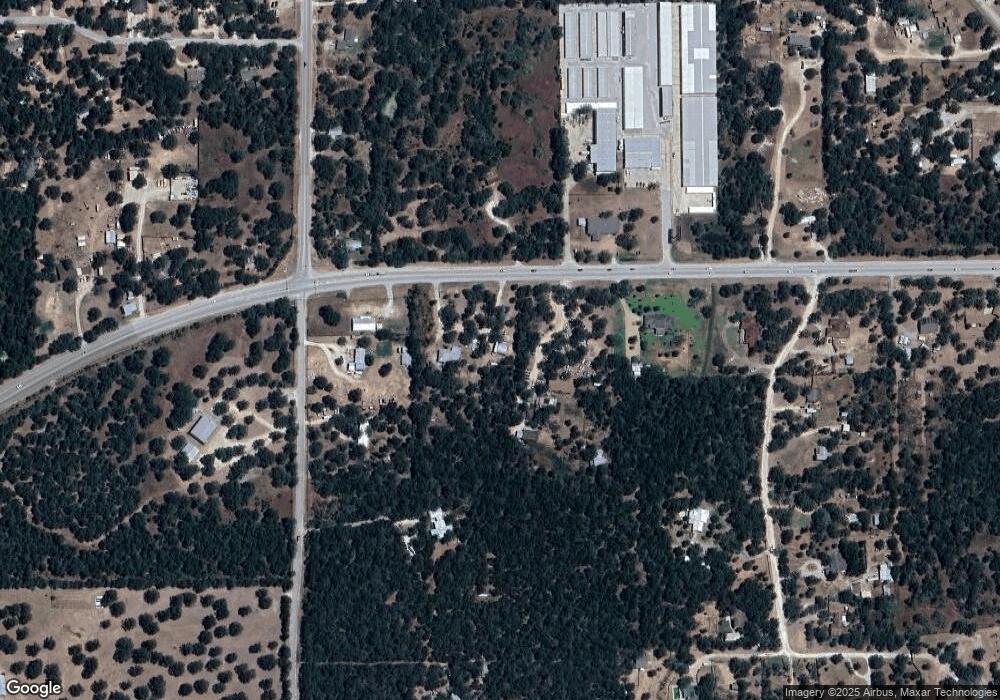
315 State Highway 21 W Cedar Creek, TX 78612
Estimated Value: $502,000 - $689,000
--
Bed
--
Bath
2,558
Sq Ft
$225/Sq Ft
Est. Value
About This Home
This home is located at 315 State Highway 21 W, Cedar Creek, TX 78612 and is currently estimated at $574,920, approximately $224 per square foot. 315 State Highway 21 W is a home located in Bastrop County with nearby schools including Cedar Creek Middle School, Cedar Creek Intermediate School, and Cedar Creek High School.
Ownership History
Date
Name
Owned For
Owner Type
Purchase Details
Closed on
Feb 6, 2014
Sold by
Ngo May Muoi
Bought by
Vanvanngo Tin Van
Current Estimated Value
Home Financials for this Owner
Home Financials are based on the most recent Mortgage that was taken out on this home.
Original Mortgage
$360,000
Interest Rate
4.56%
Mortgage Type
Seller Take Back
Create a Home Valuation Report for This Property
The Home Valuation Report is an in-depth analysis detailing your home's value as well as a comparison with similar homes in the area
Home Values in the Area
Average Home Value in this Area
Purchase History
| Date | Buyer | Sale Price | Title Company |
|---|---|---|---|
| Vanvanngo Tin Van | -- | Austin Title Company | |
| Vanngo Tin | -- | None Available |
Source: Public Records
Mortgage History
| Date | Status | Borrower | Loan Amount |
|---|---|---|---|
| Closed | Vanngo Tin | $360,000 |
Source: Public Records
Tax History Compared to Growth
Tax History
| Year | Tax Paid | Tax Assessment Tax Assessment Total Assessment is a certain percentage of the fair market value that is determined by local assessors to be the total taxable value of land and additions on the property. | Land | Improvement |
|---|---|---|---|---|
| 2025 | $4,070 | $480,691 | -- | -- |
| 2023 | $4,070 | $403,292 | $0 | $0 |
| 2022 | $5,317 | $366,195 | $0 | $0 |
| 2021 | $6,221 | $364,937 | $105,846 | $259,091 |
| 2020 | $5,827 | $285,521 | $62,482 | $223,039 |
| 2019 | $5,580 | $263,119 | $62,482 | $213,144 |
| 2018 | $5,073 | $239,199 | $62,482 | $185,133 |
| 2017 | $4,847 | $217,454 | $68,730 | $162,397 |
| 2016 | $4,406 | $197,685 | $60,241 | $160,254 |
| 2015 | $3,589 | $179,714 | $44,640 | $135,074 |
| 2014 | $3,589 | $176,314 | $44,640 | $131,674 |
Source: Public Records
Map
Nearby Homes
- 148 Oak Ridge Dr
- 161 Farm To Market Road 1209
- 000 N Gaines Rd
- Lot 4FR N Gaines Rd
- 21 Farm To Market Road 1209 Unit N
- 163 S Ridge Dr
- TBD Shiloh Rd
- 1546 Highway 71 W
- 1587 State Highway 71 W Unit A
- TBD St Hwy 21 W
- 0 Tbd (27 Acres) Shiloh Rd
- 183 Clover Rd
- 103 Mills Crossing
- 117 Hornsby Trail
- 200 Woodlands Dr
- 100 Acorn Trail
- 145 Three Oaks Ln
- 454 Leisure Ln
- 312 Blue Flame Rd
- TBD Marjess Dr
- 333 State Highway 21 W
- 307 State Highway 21 W
- 133 N Gaines Rd
- 121 N Gaines Rd
- none Hwy 21 N East of Fm 1209 Hwy
- 341 State Highway 21 W
- 136 Oak Ridge Dr
- 322 State Highway 21 W
- 340 State Highway 21 W
- 114 Oak Ridge Dr
- 101 Fm 1209
- 316 State Highway 21 W
- TBD Oak Ridge Dr
- 119 Oak Ridge Dr
- 290 State Highway 21 W
- 304 State Highway 21 W
- 356 State Highway 21 W
- 121 Oak Ridge Dr
- 157 N Gaines Rd
- 117 Fm 1209
