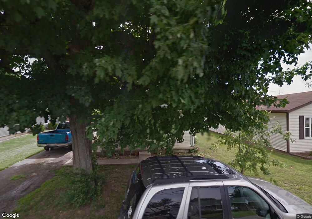
315 Stevens St Kenton, OH 43326
Estimated Value: $98,000 - $128,000
3
Beds
2
Baths
1,521
Sq Ft
$78/Sq Ft
Est. Value
About This Home
This home is located at 315 Stevens St, Kenton, OH 43326 and is currently estimated at $117,963, approximately $77 per square foot. 315 Stevens St is a home located in Hardin County with nearby schools including Kenton Elementary School, Kenton Middle School, and Kenton High School.
Ownership History
Date
Name
Owned For
Owner Type
Purchase Details
Closed on
Sep 25, 2020
Sold by
Coblentz Christian and Sells Christian
Bought by
Vanhoose Brandy L
Current Estimated Value
Home Financials for this Owner
Home Financials are based on the most recent Mortgage that was taken out on this home.
Original Mortgage
$72,000
Outstanding Balance
$66,467
Interest Rate
2.9%
Mortgage Type
USDA
Estimated Equity
$51,496
Purchase Details
Closed on
Aug 18, 2004
Bought by
Sells Christian
Purchase Details
Closed on
Jan 9, 2004
Bought by
Federal Home Loan Mort C
Purchase Details
Closed on
Dec 31, 2002
Bought by
Liberty National Bank
Purchase Details
Closed on
Jul 7, 1993
Bought by
Britton Dorothy
Purchase Details
Closed on
Apr 19, 1991
Purchase Details
Closed on
Aug 20, 1986
Create a Home Valuation Report for This Property
The Home Valuation Report is an in-depth analysis detailing your home's value as well as a comparison with similar homes in the area
Home Values in the Area
Average Home Value in this Area
Purchase History
| Date | Buyer | Sale Price | Title Company |
|---|---|---|---|
| Vanhoose Brandy L | $70,000 | Assured Title Agency Inc | |
| Sells Christian | -- | -- | |
| Federal Home Loan Mort C | -- | -- | |
| Liberty National Bank | -- | -- | |
| Britton Dorothy | $34,000 | -- | |
| -- | -- | -- | |
| -- | $26,500 | -- |
Source: Public Records
Mortgage History
| Date | Status | Borrower | Loan Amount |
|---|---|---|---|
| Open | Vanhoose Brandy L | $72,000 |
Source: Public Records
Tax History Compared to Growth
Tax History
| Year | Tax Paid | Tax Assessment Tax Assessment Total Assessment is a certain percentage of the fair market value that is determined by local assessors to be the total taxable value of land and additions on the property. | Land | Improvement |
|---|---|---|---|---|
| 2024 | $1,229 | $28,090 | $2,380 | $25,710 |
| 2023 | $1,229 | $28,090 | $2,380 | $25,710 |
| 2022 | $1,632 | $35,200 | $2,080 | $33,120 |
| 2021 | $1,638 | $35,200 | $2,080 | $33,120 |
| 2020 | $1,557 | $35,200 | $2,080 | $33,120 |
| 2019 | $1,259 | $27,970 | $1,980 | $25,990 |
| 2018 | $1,236 | $27,970 | $1,980 | $25,990 |
| 2017 | $1,163 | $27,970 | $1,980 | $25,990 |
| 2016 | $1,106 | $26,220 | $2,750 | $23,470 |
| 2015 | $971 | $26,220 | $2,750 | $23,470 |
| 2014 | $1,126 | $26,220 | $2,750 | $23,470 |
| 2013 | $1,107 | $28,180 | $2,750 | $25,430 |
Source: Public Records
Map
Nearby Homes
- 215 Henry St
- 115 Scioto St
- 510 Decatur St
- 530 E Franklin St
- 506 E Franklin St
- 121 S High St
- 79 Broadway St
- 137 E Espy St
- 814 S Wayne St
- 120 E Ohio St
- 324 E North St
- 125 Hester St
- 727 S Detroit St
- 223 W Railroad St
- 233 N Main St
- 460 Oriental St
- 416 N Cherry St
- 328 N Detroit St
- 362 W Columbus St
- 336 Letson Ave