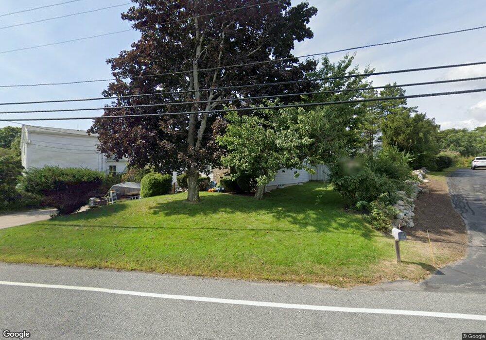
315 Succotash Rd Wakefield, RI 02879
Estimated Value: $833,000 - $1,043,000
2
Beds
1
Bath
870
Sq Ft
$1,027/Sq Ft
Est. Value
About This Home
This home is located at 315 Succotash Rd, Wakefield, RI 02879 and is currently estimated at $893,060, approximately $1,026 per square foot. 315 Succotash Rd is a home located in Washington County with nearby schools including South Kingstown High School and South Shore School.
Ownership History
Date
Name
Owned For
Owner Type
Purchase Details
Closed on
May 9, 2000
Sold by
Beers John Lloyd
Bought by
Achterberg Thomas R and Achterberg Debra A
Current Estimated Value
Purchase Details
Closed on
Sep 8, 1995
Sold by
Hurley Daniel J and Bunn James C
Bought by
Beers John Lloyd
Purchase Details
Closed on
May 30, 1989
Sold by
Dilis Peter
Bought by
Hurley Daniel
Create a Home Valuation Report for This Property
The Home Valuation Report is an in-depth analysis detailing your home's value as well as a comparison with similar homes in the area
Home Values in the Area
Average Home Value in this Area
Purchase History
| Date | Buyer | Sale Price | Title Company |
|---|---|---|---|
| Achterberg Thomas R | $135,000 | -- | |
| Beers John Lloyd | $108,000 | -- | |
| Hurley Daniel | $150,000 | -- |
Source: Public Records
Mortgage History
| Date | Status | Borrower | Loan Amount |
|---|---|---|---|
| Open | Hurley Daniel | $50,000 | |
| Closed | Hurley Daniel | $168,500 |
Source: Public Records
Tax History
| Year | Tax Paid | Tax Assessment Tax Assessment Total Assessment is a certain percentage of the fair market value that is determined by local assessors to be the total taxable value of land and additions on the property. | Land | Improvement |
|---|---|---|---|---|
| 2025 | $6,224 | $696,200 | $293,500 | $402,700 |
| 2024 | $6,262 | $566,700 | $225,700 | $341,000 |
| 2023 | $6,262 | $566,700 | $225,700 | $341,000 |
| 2022 | $6,205 | $566,700 | $225,700 | $341,000 |
| 2021 | $5,677 | $392,900 | $137,900 | $255,000 |
| 2020 | $5,677 | $392,900 | $137,900 | $255,000 |
| 2019 | $5,677 | $392,900 | $137,900 | $255,000 |
| 2018 | $5,579 | $355,800 | $127,300 | $228,500 |
| 2017 | $5,447 | $355,800 | $127,300 | $228,500 |
| 2016 | $5,369 | $355,800 | $127,300 | $228,500 |
| 2015 | $5,215 | $336,000 | $115,700 | $220,300 |
| 2014 | $5,201 | $336,000 | $115,700 | $220,300 |
Source: Public Records
Map
Nearby Homes
- 299 Succotash Rd
- 43 Wild Rose Ct
- 40 Wild Rose Ct
- 2139 Commodore Oliver Hazard Perry Hwy
- 691 Succotash Rd
- 14 E Pointe Ct Unit 14
- 380 Camp Fuller Rd
- 210 Washington St
- 6 MacAlder St
- 25 Scallop Shell Rd
- 1140 Succotash Rd
- 151 E Shore Rd
- 17 Goose Island Rd
- 854 Matunuck Beach #215 Rd
- 27 Holden Rd
- 975 Matunuck Beach Rd
- 240 Cards Pond Rd
- 2321 Post Rd
- 0 Hemlock Ave
- 0 Point Judith Rd
- 321 Succotash Rd
- 19 Mittendorf Rd
- 0 Mittendorf Rd
- 316 Succotash Rd
- 324 Succotash Rd
- 0 Gooseberry Ln
- 296 Succotash Rd
- 35 Mittendorf Rd
- 18 Mittendorf Rd
- 34 Mittendorf Rd
- 5 Amancio St
- 340 Succotash Rd
- 331 Succotash Rd
- 10 Amancio St
- 17 Amancio St
- 351 Succotash Rd
- 45 Gooseberry Rd
- 268 Succotash Rd
- 281 Succotash Rd
- 30 Gooseberry Rd