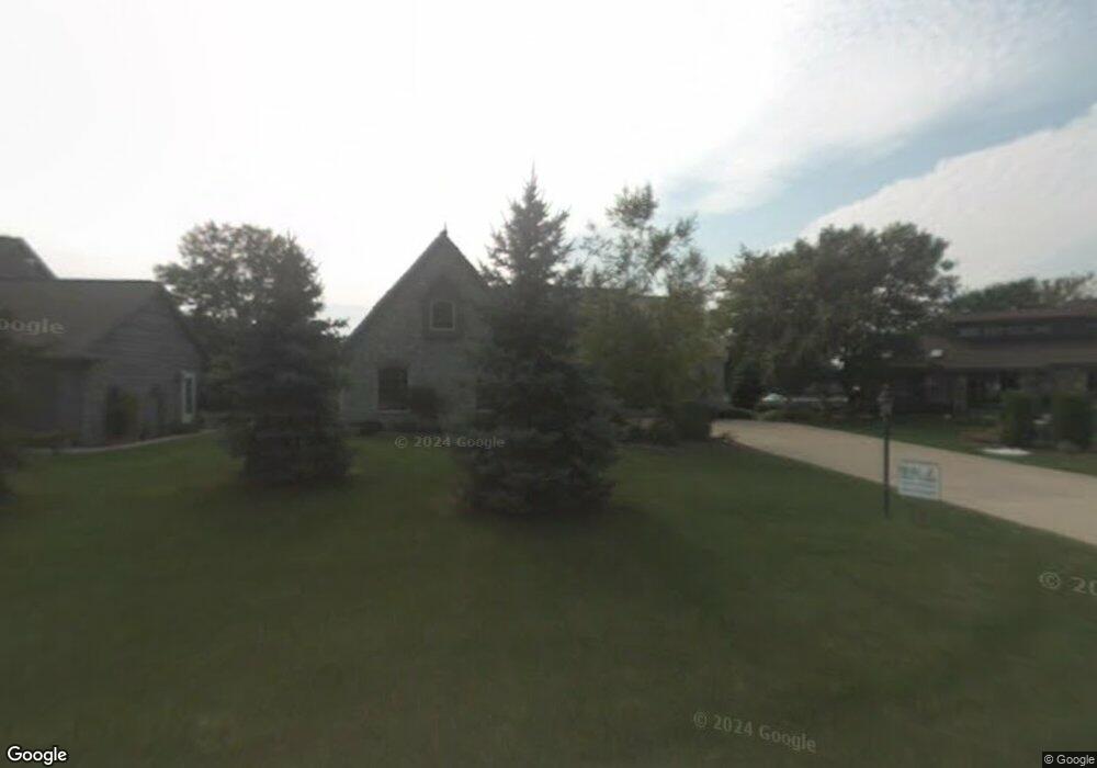
315 Sunset Ln Winneconne, WI 54986
Estimated Value: $582,000 - $851,540
3
Beds
2
Baths
2,454
Sq Ft
$297/Sq Ft
Est. Value
About This Home
This home is located at 315 Sunset Ln, Winneconne, WI 54986 and is currently estimated at $729,135, approximately $297 per square foot. 315 Sunset Ln is a home located in Winnebago County with nearby schools including Winneconne Elementary School, Winneconne Middle School, and Winneconne High School.
Ownership History
Date
Name
Owned For
Owner Type
Purchase Details
Closed on
Sep 12, 2022
Sold by
Huszar Michael C and Huszar Maryann L
Bought by
Huszar Michael C and Huszar Maryann L
Current Estimated Value
Purchase Details
Closed on
May 10, 2017
Sold by
Young Russell L and Young Barbara R
Bought by
Huszar Michael C and Huszar Maryann L
Home Financials for this Owner
Home Financials are based on the most recent Mortgage that was taken out on this home.
Original Mortgage
$338,500
Interest Rate
4.14%
Mortgage Type
Purchase Money Mortgage
Create a Home Valuation Report for This Property
The Home Valuation Report is an in-depth analysis detailing your home's value as well as a comparison with similar homes in the area
Home Values in the Area
Average Home Value in this Area
Purchase History
| Date | Buyer | Sale Price | Title Company |
|---|---|---|---|
| Huszar Michael C | -- | None Listed On Document | |
| Huszar Michael C | $486,500 | None Available |
Source: Public Records
Mortgage History
| Date | Status | Borrower | Loan Amount |
|---|---|---|---|
| Previous Owner | Huszar Michael C | $338,500 |
Source: Public Records
Tax History Compared to Growth
Tax History
| Year | Tax Paid | Tax Assessment Tax Assessment Total Assessment is a certain percentage of the fair market value that is determined by local assessors to be the total taxable value of land and additions on the property. | Land | Improvement |
|---|---|---|---|---|
| 2024 | $10,764 | $533,100 | $176,500 | $356,600 |
| 2023 | $10,473 | $533,100 | $176,500 | $356,600 |
| 2022 | $9,717 | $533,100 | $176,500 | $356,600 |
| 2021 | $9,523 | $533,100 | $176,500 | $356,600 |
| 2020 | $10,484 | $426,500 | $140,000 | $286,500 |
| 2019 | $10,187 | $426,500 | $140,000 | $286,500 |
| 2018 | $10,019 | $426,500 | $140,000 | $286,500 |
| 2017 | $9,967 | $426,500 | $140,000 | $286,500 |
| 2016 | $9,757 | $426,500 | $140,000 | $286,500 |
| 2015 | $9,942 | $426,500 | $140,000 | $286,500 |
| 2014 | -- | $426,500 | $140,000 | $286,500 |
| 2013 | -- | $426,500 | $140,000 | $286,500 |
Source: Public Records
Map
Nearby Homes
- 650 S 5th Ave
- 155 Washington St
- 135 Washington St
- 118 N 5th St
- 135 Twin Harbor Dr
- 1107 Twin Harbor Dr
- 1128 Aster Ln
- 1140 Barbary Ln
- 5895 Lasley Point Rd
- 5915 Oak Lane Dr
- 5927 Oak Lane Dr
- 5049 Washington St
- 0 Formiller Rd
- 0 Quigley Rd
- 5326 Everbreeze Dr
- 7196 La Belle Shore Rd
- 5429 Broderick Rd
- 7117 Clark Point Rd
- 0 Cross Rd
- 4752 Ginnow Rd
- 355 Sunset Ln
- 275 Sunset Ln
- 0 Sunset Ln
- 220 Sunset Ln
- 270 Sunset Ln
- 395 Sunset Ln
- 140 Harbor Point Ct
- 150 Harbor Point Ct
- 320 Sunset Ln
- 160 Harbor Pointe Ct
- 130 Harbor Pointe Ct
- 360 Sunset Ln
- 120 Harbor Point Ct
- 210 Harbor Pointe Ct
- 110 Harbor Point Ct
- 220 Harbor Point Ct
- 400 Sunset Ln
- 435 Sunset Ln
- 50 Harbor Pointe Ct
- 240 Harbor Point Ct