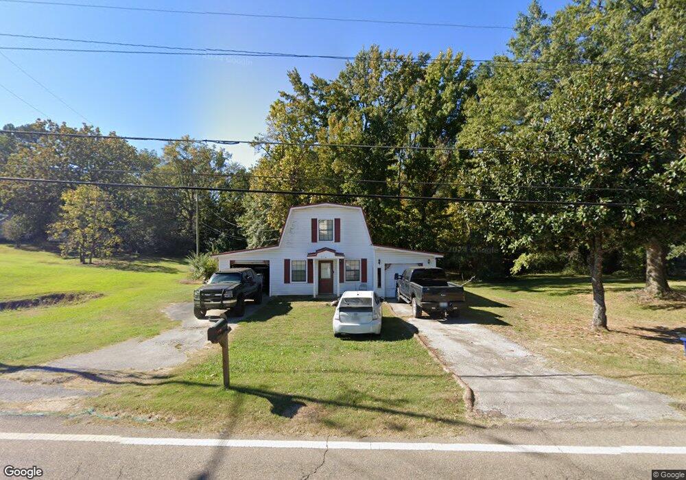
315 Turnpike Rd Pontotoc, MS 38863
Estimated Value: $93,185 - $197,000
Studio
2
Baths
1,088
Sq Ft
$134/Sq Ft
Est. Value
About This Home
This home is located at 315 Turnpike Rd, Pontotoc, MS 38863 and is currently estimated at $145,296, approximately $133 per square foot. 315 Turnpike Rd is a home located in Pontotoc County with nearby schools including Pontotoc Elementary School, D.T. Cox Elementary School, and Pontotoc Junior High School.
Ownership History
Date
Name
Owned For
Owner Type
Purchase Details
Closed on
Oct 13, 2020
Sold by
White Brian L and White Krystin Michelle
Bought by
Walters Michael T and Dixon Reggie Lynn
Current Estimated Value
Home Financials for this Owner
Home Financials are based on the most recent Mortgage that was taken out on this home.
Original Mortgage
$77,146
Outstanding Balance
$22,893
Interest Rate
2.8%
Mortgage Type
Credit Line Revolving
Estimated Equity
$122,403
Create a Home Valuation Report for This Property
The Home Valuation Report is an in-depth analysis detailing your home's value as well as a comparison with similar homes in the area
Home Values in the Area
Average Home Value in this Area
Purchase History
| Date | Buyer | Sale Price | Title Company |
|---|---|---|---|
| Walters Michael T | -- | None Available |
Source: Public Records
Mortgage History
| Date | Status | Borrower | Loan Amount |
|---|---|---|---|
| Open | Walters Michael T | $77,146 |
Source: Public Records
Tax History
| Year | Tax Paid | Tax Assessment Tax Assessment Total Assessment is a certain percentage of the fair market value that is determined by local assessors to be the total taxable value of land and additions on the property. | Land | Improvement |
|---|---|---|---|---|
| 2025 | $1,125 | $8,472 | $0 | $0 |
| 2024 | $1,083 | $8,472 | $0 | $0 |
| 2023 | $1,013 | $7,946 | $0 | $0 |
| 2022 | $946 | $7,404 | $0 | $0 |
| 2021 | $970 | $7,404 | $0 | $0 |
| 2020 | $919 | $7,404 | $0 | $0 |
| 2019 | $905 | $7,163 | $0 | $0 |
| 2018 | $850 | $6,724 | $0 | $0 |
| 2017 | $0 | $4,498 | $0 | $0 |
| 2016 | $0 | $4,498 | $0 | $0 |
| 2015 | -- | $4,553 | $0 | $0 |
| 2014 | -- | $4,553 | $0 | $0 |
Source: Public Records
Map
Nearby Homes
- 259 Shady Ln
- 0 Mississippi 336
- 0 W Reynolds St
- 605 County Road 442
- 122 N Columbia St
- 455 W Reynolds St
- 0 0 Tallant Lane (16 6 Ac)
- 0 Tallant Ln
- 0 0 Hwy 15 Unit 25-1317
- 159 Fawn Cir
- 0 Fawn Cir
- 0 N Main St
- 188 N Main St
- 4 Oak Dr
- 172 Coffee St
- 145 Forest Dr
- 168 Highland Dr
- 249 Highway 9 N
- 17 N Main St
- 12 Forest Dr
- 321 Turnpike Rd
- 226 Shady Ln
- 325 Turnpike Rd
- 227 Turnpike Rd
- 311 Turnpike Rd
- 322 Turnpike Rd
- 217 Highway 15 N
- 228 Shady Ln
- 232 Apostolic Cir
- 234 Apostolic Cir
- 234 Apostolic
- 320 Coleman Ln
- 234 Apostolic Cir
- 316 Coleman Ln
- 234 Shady Ln
- 227 Mississippi 15
- 227 Highway 15 N
- 314 Coleman Ln
- 233 Shady Ln
- 236 Apostolic Cir
Your Personal Tour Guide
Ask me questions while you tour the home.