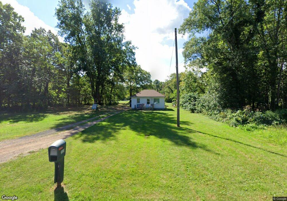
315 W 36th St Lorain, OH 44052
Estimated Value: $73,247 - $113,000
2
Beds
1
Bath
624
Sq Ft
$149/Sq Ft
Est. Value
About This Home
This home is located at 315 W 36th St, Lorain, OH 44052 and is currently estimated at $92,812, approximately $148 per square foot. 315 W 36th St is a home located in Lorain County with nearby schools including Vincent Elementary School, Durling Middle School, and Clearview High School.
Ownership History
Date
Name
Owned For
Owner Type
Purchase Details
Closed on
May 11, 2017
Sold by
Rodriguez George
Bought by
Reds All American Recycling Co Ltd
Current Estimated Value
Purchase Details
Closed on
Sep 13, 2007
Sold by
Estate Of Felix A Rodriguez
Bought by
Rodriguez George
Purchase Details
Closed on
Oct 21, 2005
Sold by
Vasu Lance E
Bought by
Rodriguez Felix A
Home Financials for this Owner
Home Financials are based on the most recent Mortgage that was taken out on this home.
Original Mortgage
$62,700
Interest Rate
5.8%
Mortgage Type
Fannie Mae Freddie Mac
Create a Home Valuation Report for This Property
The Home Valuation Report is an in-depth analysis detailing your home's value as well as a comparison with similar homes in the area
Home Values in the Area
Average Home Value in this Area
Purchase History
| Date | Buyer | Sale Price | Title Company |
|---|---|---|---|
| Reds All American Recycling Co Ltd | $2,000 | Old Republic National Title | |
| Rodriguez George | -- | Attorney | |
| Rodriguez Felix A | $66,000 | Quality Title Agency Inc |
Source: Public Records
Mortgage History
| Date | Status | Borrower | Loan Amount |
|---|---|---|---|
| Previous Owner | Rodriguez Felix A | $62,700 |
Source: Public Records
Tax History
| Year | Tax Paid | Tax Assessment Tax Assessment Total Assessment is a certain percentage of the fair market value that is determined by local assessors to be the total taxable value of land and additions on the property. | Land | Improvement |
|---|---|---|---|---|
| 2024 | $729 | $18,837 | $2,548 | $16,289 |
| 2023 | $539 | $11,494 | $2,076 | $9,419 |
| 2022 | $556 | $11,494 | $2,076 | $9,419 |
| 2021 | $584 | $11,494 | $2,076 | $9,419 |
| 2020 | $545 | $9,730 | $1,760 | $7,970 |
| 2019 | $542 | $9,730 | $1,760 | $7,970 |
| 2018 | $546 | $9,730 | $1,760 | $7,970 |
| 2017 | $630 | $10,250 | $1,760 | $8,490 |
| 2016 | $629 | $10,250 | $1,760 | $8,490 |
| 2015 | $613 | $10,250 | $1,760 | $8,490 |
| 2014 | $614 | $9,990 | $1,720 | $8,270 |
| 2013 | $578 | $9,990 | $1,720 | $8,270 |
Source: Public Records
Map
Nearby Homes
- 125 W 35th St
- 230 W 39th St
- 3177 Elyria Ave
- V/L Broadway Ave
- 0 Canton Ave
- 3011 Caroline Ave
- 3825 Canton Ave
- 319 W 27th St
- 2910 Caroline Ave
- 2909 Denver Ave
- 3116 Chris Ave
- 4231 Washington Ave
- 3323 Dallas Ave
- 1037 W 37th St
- 824 Highland Park Blvd
- 112 W 25th St
- 3538 Albany Ave
- 3442 Albany Ave
- 2349 Kelly Place
- 510 E 25th St
Your Personal Tour Guide
Ask me questions while you tour the home.