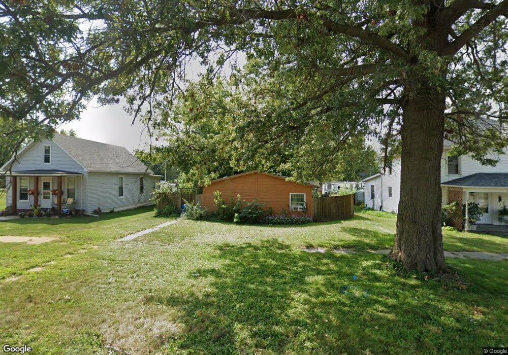
315 W Jayne St Lone Tree, IA 52755
Estimated Value: $178,000 - $203,184
3
Beds
2
Baths
1,736
Sq Ft
$111/Sq Ft
Est. Value
About This Home
This home is located at 315 W Jayne St, Lone Tree, IA 52755 and is currently estimated at $192,296, approximately $110 per square foot. 315 W Jayne St is a home located in Johnson County with nearby schools including Lone Tree Elementary School and Lone Tree Junior/Senior High School.
Ownership History
Date
Name
Owned For
Owner Type
Purchase Details
Closed on
Sep 23, 2009
Sold by
Watson Teresa A and Watson Robert W
Bought by
Pacha Steven
Current Estimated Value
Home Financials for this Owner
Home Financials are based on the most recent Mortgage that was taken out on this home.
Original Mortgage
$79,120
Outstanding Balance
$53,703
Interest Rate
5.95%
Mortgage Type
Credit Line Revolving
Estimated Equity
$138,593
Create a Home Valuation Report for This Property
The Home Valuation Report is an in-depth analysis detailing your home's value as well as a comparison with similar homes in the area
Purchase History
| Date | Buyer | Sale Price | Title Company |
|---|---|---|---|
| Pacha Steven | $99,000 | None Available |
Source: Public Records
Mortgage History
| Date | Status | Borrower | Loan Amount |
|---|---|---|---|
| Open | Pacha Steven | $79,120 |
Source: Public Records
Tax History
| Year | Tax Paid | Tax Assessment Tax Assessment Total Assessment is a certain percentage of the fair market value that is determined by local assessors to be the total taxable value of land and additions on the property. | Land | Improvement |
|---|---|---|---|---|
| 2025 | $1,954 | $146,000 | $23,300 | $122,700 |
| 2024 | $1,898 | $141,400 | $23,300 | $118,100 |
| 2023 | $1,738 | $141,400 | $23,300 | $118,100 |
| 2022 | $1,718 | $110,300 | $18,400 | $91,900 |
| 2021 | $1,798 | $110,300 | $18,400 | $91,900 |
| 2020 | $1,798 | $110,300 | $18,400 | $91,900 |
| 2019 | $1,628 | $110,300 | $18,400 | $91,900 |
| 2018 | $1,600 | $98,100 | $18,400 | $79,700 |
| 2017 | $1,600 | $98,100 | $18,400 | $79,700 |
| 2016 | $1,622 | $97,400 | $18,400 | $79,000 |
| 2015 | $1,622 | $97,400 | $18,400 | $79,000 |
| 2014 | $1,738 | $108,100 | $18,400 | $89,700 |
Source: Public Records
Map
Nearby Homes
- 221 W Commercial St
- 305 S Riggs St
- 500 S Center St
- 210 W Mapel Dr
- 407 E Elm St
- 4985 640th St SE
- 0 Tri County Bridge Rd SE
- 25840 Golden Oak Ln Lot 1
- 25838 Golden Oak Ln Lot 7
- 25836 Golden Oak Ln Lot 8
- 25832 Golden Oak Ln Lot 12
- 25824 Golden Oak Ln Lot 9
- 25736 Golden Pond Ln Se Lot 17
- 25738 Golden Pond Ln Se Lot 16
- 1092 Walnut Ave Unit 209
- 1092 Walnut Ave Unit 301
- 1092 Walnut Ave Unit 220
- 1092 Walnut Ave Unit 117 Bld E
- Lot 2 116th Cir
- Lot 39 Walter Mapp Dr
Your Personal Tour Guide
Ask me questions while you tour the home.