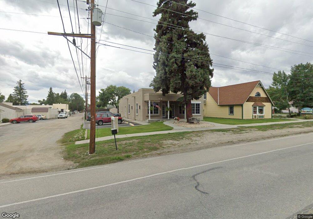
315 W Main St Buena Vista, CO 81211
Estimated Value: $1,081,737
1
Bed
1
Bath
2,095
Sq Ft
$516/Sq Ft
Est. Value
About This Home
This home is located at 315 W Main St, Buena Vista, CO 81211 and is currently estimated at $1,081,737, approximately $516 per square foot. 315 W Main St is a home located in Chaffee County with nearby schools including Avery/Parsons Elementary School, Buena Vista Middle School, and Chaffee County High School.
Ownership History
Date
Name
Owned For
Owner Type
Purchase Details
Closed on
Sep 14, 2021
Sold by
West Mainstreet Holdings Llc
Bought by
315 W Main Bvco Llc
Current Estimated Value
Home Financials for this Owner
Home Financials are based on the most recent Mortgage that was taken out on this home.
Original Mortgage
$648,000
Interest Rate
2.8%
Mortgage Type
New Conventional
Purchase Details
Closed on
Jun 27, 2002
Bought by
West Main Street Holdings Llc
Create a Home Valuation Report for This Property
The Home Valuation Report is an in-depth analysis detailing your home's value as well as a comparison with similar homes in the area
Home Values in the Area
Average Home Value in this Area
Purchase History
| Date | Buyer | Sale Price | Title Company |
|---|---|---|---|
| 315 W Main Bvco Llc | $825,000 | None Available | |
| 315 W Main Bvco Llc | $825,000 | None Listed On Document | |
| West Main Street Holdings Llc | $232,400 | -- |
Source: Public Records
Mortgage History
| Date | Status | Borrower | Loan Amount |
|---|---|---|---|
| Previous Owner | 315 W Main Bvco Llc | $648,000 |
Source: Public Records
Tax History Compared to Growth
Tax History
| Year | Tax Paid | Tax Assessment Tax Assessment Total Assessment is a certain percentage of the fair market value that is determined by local assessors to be the total taxable value of land and additions on the property. | Land | Improvement |
|---|---|---|---|---|
| 2024 | $7,764 | $145,840 | $89,120 | $56,720 |
| 2023 | $7,320 | $145,840 | $89,120 | $56,720 |
| 2022 | $5,219 | $91,680 | $38,670 | $53,010 |
| 2021 | $5,099 | $92,150 | $38,870 | $53,280 |
| 2020 | $4,014 | $67,610 | $27,110 | $40,500 |
| 2019 | $4,003 | $67,610 | $27,110 | $40,500 |
| 2018 | $4,456 | $69,240 | $21,550 | $47,690 |
| 2017 | $4,080 | $69,240 | $21,550 | $47,690 |
| 2016 | $3,707 | $69,150 | $25,380 | $43,770 |
| 2015 | $4,139 | $69,150 | $25,380 | $43,770 |
| 2014 | $4,139 | $70,780 | $0 | $0 |
Source: Public Records
Map
Nearby Homes
- 118 N San Juan Ave
- Lot 17, Blk 53 N Gunnison Ave Unit 17
- Lots 7&8, Block 52 N Gunnison Ave Unit 7 and 8
- 212 N Gunnison Ave
- 226 S San Juan Ave Unit 6 and 7
- 319 W Arkansas St
- 119 Tabor St
- 285 U S 24
- 29330 Cr 358a
- 121, 127, 133, 139 Brookdale Ave
- TBD S San Juan Ave
- 426 S San Juan Ave
- 330 Gold St
- 2151 S Pleasant Ave
- 491 E Arkansas St
- 461 E Arkansas St
- 33980 Us Highway 24 N
- 421 Chestnut St
- 30935 Main Range Dr
- 433 Chestnut St
- 107 S San Juan Ave
- 111 S San Juan Ave
- 403 W Main St
- 316 W Main St
- 117 S San Juan Ave
- 114 S San Juan Ave
- 310 W Main St
- 407 W Main St
- 114 N San Juan Ave
- 127 S San Juan Ave
- 400 W Main St
- 108 N Gunnison Ave
- 108 N Gunnison Ave Unit 719
- 124 S San Juan Ave
- 111 N San Juan Ave
- 209 W Main St
- 115 N San Juan Ave
- 126 S San Juan Ave
- 114 S Gunnison Ave
- 410 W Main St