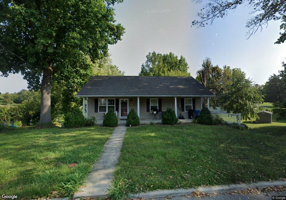
315 Wadsworth St Collinsville, IL 62234
Estimated Value: $195,000 - $224,554
4
Beds
2
Baths
1,176
Sq Ft
$180/Sq Ft
Est. Value
About This Home
This home is located at 315 Wadsworth St, Collinsville, IL 62234 and is currently estimated at $212,139, approximately $180 per square foot. 315 Wadsworth St is a home located in Madison County with nearby schools including John A Renfro Elementary School, Dorris Intermediate School, and Collinsville Middle School.
Ownership History
Date
Name
Owned For
Owner Type
Purchase Details
Closed on
Aug 18, 2005
Sold by
Daech & Bauer Construction Inc
Bought by
Persson Richard L and Persson Susan E
Current Estimated Value
Home Financials for this Owner
Home Financials are based on the most recent Mortgage that was taken out on this home.
Original Mortgage
$149,900
Interest Rate
5.8%
Mortgage Type
Fannie Mae Freddie Mac
Create a Home Valuation Report for This Property
The Home Valuation Report is an in-depth analysis detailing your home's value as well as a comparison with similar homes in the area
Home Values in the Area
Average Home Value in this Area
Purchase History
| Date | Buyer | Sale Price | Title Company |
|---|---|---|---|
| Persson Richard L | $150,000 | Abstracts & Titles Inc |
Source: Public Records
Mortgage History
| Date | Status | Borrower | Loan Amount |
|---|---|---|---|
| Closed | Persson Richard L | $149,900 |
Source: Public Records
Tax History Compared to Growth
Tax History
| Year | Tax Paid | Tax Assessment Tax Assessment Total Assessment is a certain percentage of the fair market value that is determined by local assessors to be the total taxable value of land and additions on the property. | Land | Improvement |
|---|---|---|---|---|
| 2024 | $3,269 | $62,130 | $7,200 | $54,930 |
| 2023 | $3,269 | $57,500 | $6,660 | $50,840 |
| 2022 | $1,740 | $51,530 | $5,960 | $45,570 |
| 2021 | $1,826 | $48,410 | $5,600 | $42,810 |
| 2020 | $1,846 | $46,190 | $5,340 | $40,850 |
| 2019 | $1,860 | $44,610 | $5,160 | $39,450 |
| 2018 | $1,875 | $37,440 | $4,870 | $32,570 |
| 2017 | $1,923 | $36,690 | $4,770 | $31,920 |
| 2016 | $2,008 | $36,690 | $4,770 | $31,920 |
| 2015 | $1,852 | $35,740 | $4,650 | $31,090 |
| 2014 | $1,852 | $35,740 | $4,650 | $31,090 |
| 2013 | $1,852 | $35,740 | $4,650 | $31,090 |
Source: Public Records
Map
Nearby Homes
- 1120 Williams St
- 1210 Constance St
- 308 Brown Ave
- 501 Spring
- 1224 Cedar Ridge Ct
- 617 N Morrison Ave
- 203 Greenfield Dr
- 123 W Wickliffe Ave
- 0 N Keebler Ave
- 919 Vine St
- 0 Strong Ave
- 1227 Ridge Ave
- 921 Prospect St
- 706 Illinois Ave
- 414 Bunker Hill Dr
- 22 Brookwood Dr
- 5 Brookwood Dr
- 123 Elliot St
- 580 N Guernsey St
- 238 Mill St
- 319 Wadsworth St
- 1111 Williams St
- 1113 Williams St
- 901 Harding St
- 1115 Williams St
- 320 Wadsworth St
- 320 Wadsworth St Unit CLAY
- 320 Wadsworth St
- 111 Harding St
- 400 Wadsworth St
- 1117 Williams St
- 406 Wadsworth St
- 302 Wadsworth St
- 1123 Williams St
- 408 Wadsworth St
- 415 Wadsworth St
- 305 Brown Ave
- 100 Harding St
- 414 Wadsworth St
- 1114 Williams St