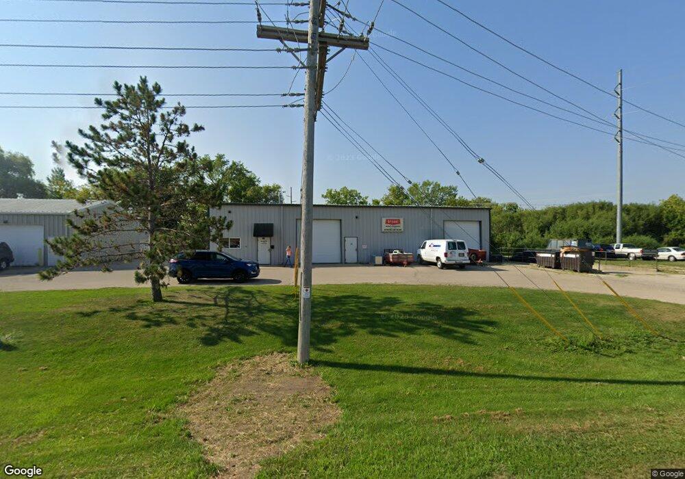
315 Water St Evansville, WI 53536
Estimated Value: $923,946
--
Bed
--
Bath
13,848
Sq Ft
$67/Sq Ft
Est. Value
About This Home
This home is located at 315 Water St, Evansville, WI 53536 and is currently estimated at $923,946, approximately $66 per square foot. 315 Water St is a home located in Rock County with nearby schools including Levi Leonard Elementary School, Theodore Robinson Intermediate School, and J.C. McKenna Middle School.
Ownership History
Date
Name
Owned For
Owner Type
Purchase Details
Closed on
Jul 1, 2024
Sold by
Trimar Properties Llc
Bought by
Evansville Storage Partners Llc
Current Estimated Value
Home Financials for this Owner
Home Financials are based on the most recent Mortgage that was taken out on this home.
Original Mortgage
$700,000
Outstanding Balance
$691,559
Interest Rate
6.94%
Mortgage Type
New Conventional
Estimated Equity
$232,387
Create a Home Valuation Report for This Property
The Home Valuation Report is an in-depth analysis detailing your home's value as well as a comparison with similar homes in the area
Home Values in the Area
Average Home Value in this Area
Purchase History
| Date | Buyer | Sale Price | Title Company |
|---|---|---|---|
| Evansville Storage Partners Llc | $875,000 | None Listed On Document | |
| Trimar Properties Llc | -- | None Listed On Document |
Source: Public Records
Mortgage History
| Date | Status | Borrower | Loan Amount |
|---|---|---|---|
| Open | Evansville Storage Partners Llc | $700,000 |
Source: Public Records
Tax History Compared to Growth
Tax History
| Year | Tax Paid | Tax Assessment Tax Assessment Total Assessment is a certain percentage of the fair market value that is determined by local assessors to be the total taxable value of land and additions on the property. | Land | Improvement |
|---|---|---|---|---|
| 2024 | $11,921 | $555,400 | $80,700 | $474,700 |
| 2023 | $10,812 | $555,400 | $80,700 | $474,700 |
| 2022 | $10,621 | $555,400 | $80,700 | $474,700 |
| 2021 | $11,115 | $392,900 | $59,100 | $333,800 |
| 2020 | $10,986 | $392,900 | $59,100 | $333,800 |
| 2019 | $10,727 | $392,900 | $59,100 | $333,800 |
| 2018 | $10,233 | $392,900 | $59,100 | $333,800 |
| 2017 | $9,616 | $392,900 | $59,100 | $333,800 |
| 2016 | $9,706 | $392,900 | $59,100 | $333,800 |
Source: Public Records
Map
Nearby Homes
- 318 Almeron St
- 200 Maple St
- 351 S Madison St
- 408 S 1st St
- 90 E Countryside Dr
- 5427 W Fair St
- 7801 N Robert Dr
- 126 Deanna Dr
- 111 Prentice St
- 481 Badger Dr
- 231 N 4th St
- 261 N 4th St
- 265 N 4th St
- 601 Porter Rd
- 13506 W Travis Trace Rd
- 665 Hillside Ct
- 637 Garfield Ave
- 680 W Main St
- 527 Seventh St
- 118 Windmill Ridge Rd
- 320 Water St
- 195 S Union St
- 405 Water St
- 315 Franklin St
- 293 Franklin St
- 287 Franklin St
- 279 Franklin St
- 307 Franklin St
- 275 Franklin St
- 313 Franklin St
- 299 Franklin St
- 263 Franklin St
- 321 Franklin St
- 257 Franklin St
- 267 Franklin St
- 312 Cherry St
- 304 Cherry St
- 245 Franklin St
- 338 Cherry St
- 249 Franklin St