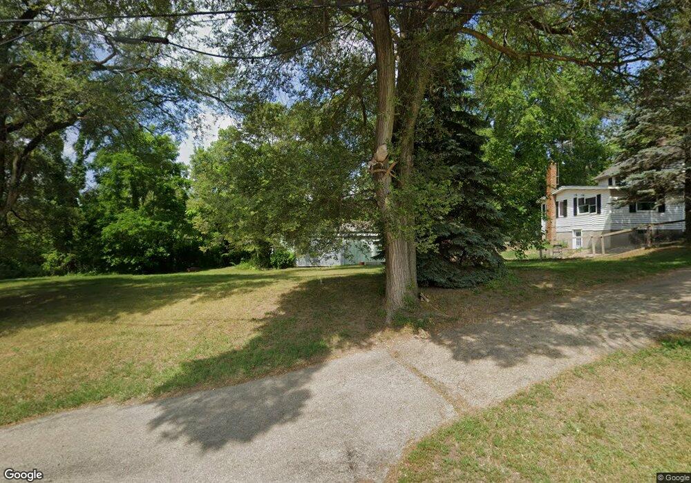
315 Watson Rd Otsego, MI 49078
Estimated Value: $413,791
Studio
1
Bath
5,800
Sq Ft
$71/Sq Ft
Est. Value
About This Home
This home is located at 315 Watson Rd, Otsego, MI 49078 and is currently estimated at $413,791, approximately $71 per square foot. 315 Watson Rd is a home located in Allegan County with nearby schools including Otsego High School, Otsego Christian Academy, and St. Margaret School.
Ownership History
Date
Name
Owned For
Owner Type
Purchase Details
Closed on
Sep 25, 2015
Sold by
Acdc Inc
Bought by
Intents Life Family Ministries
Current Estimated Value
Home Financials for this Owner
Home Financials are based on the most recent Mortgage that was taken out on this home.
Original Mortgage
$80,000
Outstanding Balance
$62,858
Interest Rate
3.84%
Mortgage Type
Commercial
Estimated Equity
$350,933
Purchase Details
Closed on
Sep 19, 2012
Sold by
Tnt Leasing Llc
Bought by
Acdc Inc
Purchase Details
Closed on
Jun 24, 2002
Sold by
Herbert Barry A and Herbert Linda R
Bought by
Tnt Leasing Llc
Create a Home Valuation Report for This Property
The Home Valuation Report is an in-depth analysis detailing your home's value as well as a comparison with similar homes in the area
Home Values in the Area
Average Home Value in this Area
Purchase History
| Date | Buyer | Sale Price | Title Company |
|---|---|---|---|
| Intents Life Family Ministries | $190,400 | Title Resource Agency | |
| Acdc Inc | $100,000 | None Available | |
| Tnt Leasing Llc | $200,000 | -- |
Source: Public Records
Mortgage History
| Date | Status | Borrower | Loan Amount |
|---|---|---|---|
| Open | Intents Life Family Ministries | $80,000 |
Source: Public Records
Tax History
| Year | Tax Paid | Tax Assessment Tax Assessment Total Assessment is a certain percentage of the fair market value that is determined by local assessors to be the total taxable value of land and additions on the property. | Land | Improvement |
|---|---|---|---|---|
| 2025 | -- | $0 | $0 | $0 |
| 2024 | -- | $0 | $0 | $0 |
| 2023 | -- | $0 | $0 | $0 |
| 2022 | $0 | $0 | $0 | $0 |
| 2020 | $0 | $0 | $0 | $0 |
| 2019 | $0 | $0 | $0 | $0 |
| 2018 | $0 | $75,800 | $15,400 | $60,400 |
| 2017 | $0 | $75,800 | $15,400 | $60,400 |
| 2016 | $0 | $75,800 | $15,400 | $60,400 |
| 2015 | -- | $75,800 | $15,400 | $60,400 |
| 2014 | -- | $81,700 | $17,500 | $64,200 |
| 2013 | $5,512 | $82,200 | $17,900 | $64,300 |
Source: Public Records
Map
Nearby Homes
- 301 Helen Ave
- 516 Catherine St
- 361 W Allegan St
- 218 S North St
- 1431 Michigan 89
- 303 W Franklin St
- 508 S Farmer St
- 528 Lincoln Rd
- 805 Irving St
- 602 Lincoln Rd
- 704 Bayberry Ln
- 0 Briarwood St Unit 25002251
- 1868 Jefferson Rd
- 909 Barton St
- 1006 Goodsell St
- 1639 Aspen Trail
- 1655 Aspen Trail
- 1636 Aspen Trail
- 1644 Aspen Trail
- 1648 Aspen Trail
Your Personal Tour Guide
Ask me questions while you tour the home.