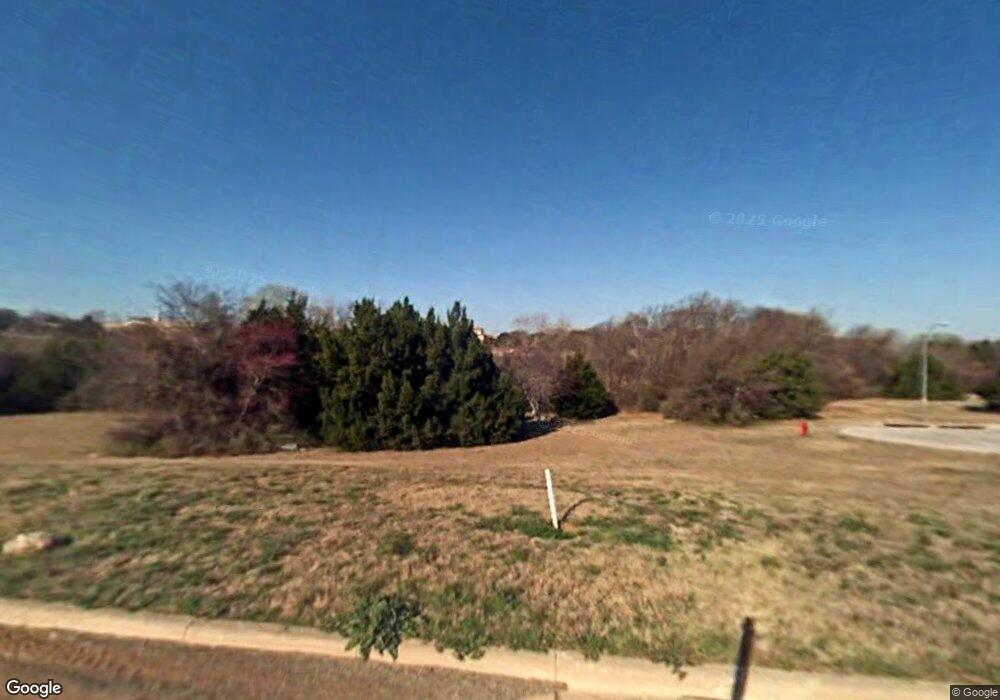
315 William Allen Ln Decatur, TX 76234
Estimated Value: $493,414 - $558,000
--
Bed
1
Bath
2,466
Sq Ft
$215/Sq Ft
Est. Value
About This Home
This home is located at 315 William Allen Ln, Decatur, TX 76234 and is currently estimated at $529,854, approximately $214 per square foot. 315 William Allen Ln is a home with nearby schools including Decatur High School and Victory Christian Academy.
Ownership History
Date
Name
Owned For
Owner Type
Purchase Details
Closed on
Jul 6, 2018
Sold by
Tah Wise Property Ventures Ltd
Bought by
Ticknor James J
Current Estimated Value
Purchase Details
Closed on
Sep 29, 2010
Sold by
Campbell Jerry
Bought by
Tah Wise Property Ventures Ltd
Purchase Details
Closed on
Aug 22, 2002
Sold by
Campbell Jerry Trustee
Bought by
Tah Wise Property Ventures Ltd
Purchase Details
Closed on
Jun 13, 2001
Sold by
Kings Terrace Llc
Bought by
Tah Wise Property Ventures Ltd
Create a Home Valuation Report for This Property
The Home Valuation Report is an in-depth analysis detailing your home's value as well as a comparison with similar homes in the area
Home Values in the Area
Average Home Value in this Area
Purchase History
| Date | Buyer | Sale Price | Title Company |
|---|---|---|---|
| Ticknor James J | -- | Guaradian Title Co | |
| Tah Wise Property Ventures Ltd | -- | -- | |
| Tah Wise Property Ventures Ltd | -- | -- | |
| Tah Wise Property Ventures Ltd | -- | -- |
Source: Public Records
Tax History Compared to Growth
Tax History
| Year | Tax Paid | Tax Assessment Tax Assessment Total Assessment is a certain percentage of the fair market value that is determined by local assessors to be the total taxable value of land and additions on the property. | Land | Improvement |
|---|---|---|---|---|
| 2025 | $7,725 | $537,764 | -- | -- |
| 2024 | $7,725 | $488,876 | $0 | $0 |
| 2023 | $8,062 | $444,433 | $0 | $0 |
| 2022 | $8,848 | $404,030 | $78,410 | $325,620 |
| 2021 | $9,220 | $404,030 | $78,410 | $325,620 |
| 2020 | $9,073 | $386,820 | $69,700 | $317,120 |
| 2019 | $1,728 | $69,700 | $69,700 | $0 |
| 2018 | $957 | $37,030 | $37,030 | $0 |
| 2017 | $678 | $26,140 | $26,140 | $0 |
| 2016 | $475 | $52,270 | $52,270 | $0 |
| 2015 | -- | $18,300 | $18,300 | $0 |
| 2014 | -- | $18,300 | $18,300 | $0 |
Source: Public Records
Map
Nearby Homes
- 304 Cyndilu Ln
- 606 W Mulberry St
- 407 N Lane St
- 802 N Church St
- 903 N Miller St
- 700 N Church St
- 114 Sondra Lin Blvd
- 307 E Vernon St
- 602 N Cates St
- 1 S Martin Extension
- 4112 U S 380
- 50+/- acres U S 380
- 0 N Hwy 287 Unit 25379920
- TBD Farm To Market 51
- 401 S Holman St
- 305 E Shoemaker St
- 601 W Brady St
- 1404 Shady Ln
- W W Rose Ave
- 506 E Main St
- 313 Cyndilu Ln
- 312 William Allen Ln
- 308 William Allen Ln
- 305 William Allen Ln
- 305 William Allen Ln
- 300 William Allen Ln
- 309 Cyndilu Ln
- 351 Emma Call Ct
- 339 Emma Call Ct
- 301 William Allen Ln
- 309 Emma Call Ct
- 367 Emma Call Ct
- 287 Emma Call Ct
- 300 Cyndilu Ln
- 372 Emma Call Ct
- 297 Emma Call Ct
- 305 Cyndilu Ln
- 267 Emma Call Ct
- 281 Emma Call Ct
- 377 Emma Call Ct
