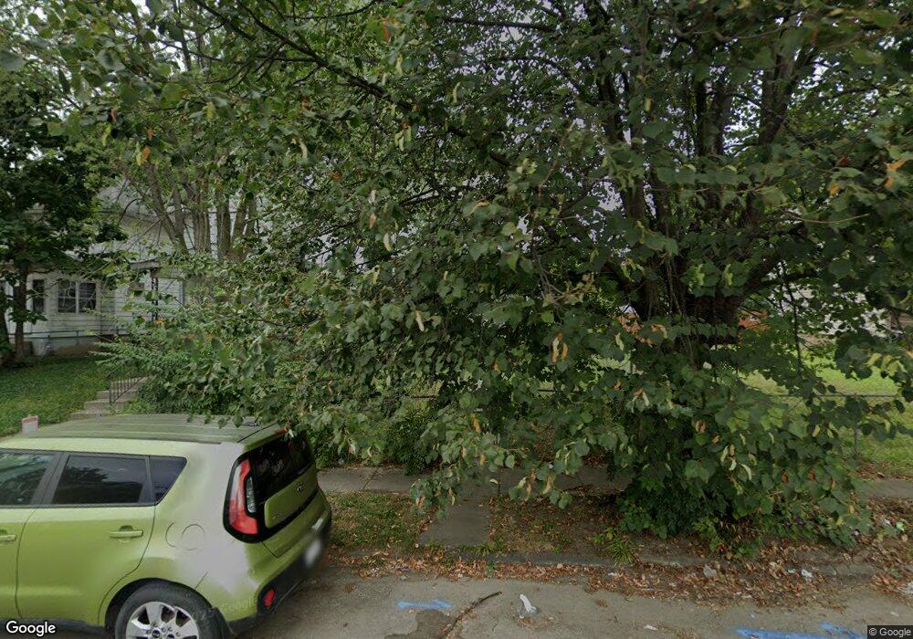
315 Wrexham Ave Columbus, OH 43223
Central Hilltop NeighborhoodEstimated Value: $116,000 - $150,000
2
Beds
1
Bath
1,120
Sq Ft
$123/Sq Ft
Est. Value
About This Home
This home is located at 315 Wrexham Ave, Columbus, OH 43223 and is currently estimated at $137,320, approximately $122 per square foot. 315 Wrexham Ave is a home located in Franklin County with nearby schools including Highland Elementary School, Westmoor Middle School, and West High School.
Ownership History
Date
Name
Owned For
Owner Type
Purchase Details
Closed on
May 15, 2008
Sold by
Palmore Leslie Ann and Palmore Todd Alvin
Bought by
Curry Gail
Current Estimated Value
Home Financials for this Owner
Home Financials are based on the most recent Mortgage that was taken out on this home.
Original Mortgage
$49,227
Outstanding Balance
$31,257
Interest Rate
5.93%
Mortgage Type
FHA
Estimated Equity
$106,063
Purchase Details
Closed on
May 21, 1974
Bought by
Palmore Anna J
Create a Home Valuation Report for This Property
The Home Valuation Report is an in-depth analysis detailing your home's value as well as a comparison with similar homes in the area
Home Values in the Area
Average Home Value in this Area
Purchase History
| Date | Buyer | Sale Price | Title Company |
|---|---|---|---|
| Curry Gail | $50,000 | Talon Group | |
| Palmore Anna J | -- | -- |
Source: Public Records
Mortgage History
| Date | Status | Borrower | Loan Amount |
|---|---|---|---|
| Open | Curry Gail | $49,227 |
Source: Public Records
Tax History Compared to Growth
Tax History
| Year | Tax Paid | Tax Assessment Tax Assessment Total Assessment is a certain percentage of the fair market value that is determined by local assessors to be the total taxable value of land and additions on the property. | Land | Improvement |
|---|---|---|---|---|
| 2024 | $1,464 | $32,630 | $3,960 | $28,670 |
| 2023 | $1,446 | $32,620 | $3,955 | $28,665 |
| 2022 | $1,068 | $20,590 | $1,860 | $18,730 |
| 2021 | $1,070 | $20,590 | $1,860 | $18,730 |
| 2020 | $1,071 | $20,590 | $1,860 | $18,730 |
| 2019 | $1,045 | $17,220 | $1,540 | $15,680 |
| 2018 | $955 | $17,220 | $1,540 | $15,680 |
| 2017 | $1,000 | $17,220 | $1,540 | $15,680 |
| 2016 | $956 | $14,430 | $3,190 | $11,240 |
| 2015 | $868 | $14,430 | $3,190 | $11,240 |
| 2014 | $870 | $14,430 | $3,190 | $11,240 |
| 2013 | $505 | $16,975 | $3,745 | $13,230 |
Source: Public Records
Map
Nearby Homes
- 265-267 Belvidere Ave
- 315 Nashoba Ave
- 329-331 Whitethorne Ave
- 196 Belvidere Ave
- 264 Nashoba Ave
- 178 Belvidere Ave
- 1953 Sullivant Ave
- 247 Columbian Ave
- 249 Midland Ave
- 172 Whitethorne Ave
- 379 Midland Ave
- 1921 Sullivant Ave
- 481 Wrexham Ave
- 2122 Union Ave
- 485 Belvidere Ave
- 244 Clarendon Ave
- 479 Nashoba Ave
- 1923 Floral Ave
- 181 Clarendon Ave
- 561 Belvidere Ave
- 319 Wrexham Ave
- 311 Wrexham Ave
- 323 Wrexham Ave
- 307 Wrexham Ave
- 327 Wrexham Ave
- 303 Wrexham Ave
- 331 Wrexham Ave
- 299 Wrexham Ave
- 335 Wrexham Ave
- 297 Wrexham Ave
- 314 Belvidere Ave
- 318 Belvidere Ave
- 310 Belvidere Ave
- 322 Belvidere Ave
- 306 Belvidere Ave
- 339 Wrexham Ave
- 324 Wrexham Ave
- 326 Belvidere Ave
- 308 Wrexham Ave Unit 8
- 308 Wrexham Ave Unit 4
