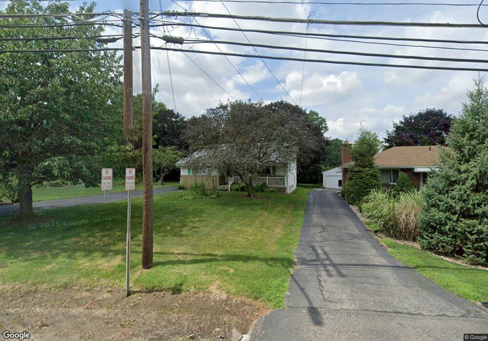
3150 Hudson Dr Cuyahoga Falls, OH 44221
Mud Brook NeighborhoodEstimated Value: $218,560 - $243,000
2
Beds
2
Baths
1,078
Sq Ft
$217/Sq Ft
Est. Value
About This Home
This home is located at 3150 Hudson Dr, Cuyahoga Falls, OH 44221 and is currently estimated at $233,390, approximately $216 per square foot. 3150 Hudson Dr is a home located in Summit County with nearby schools including Lincoln Elementary School, Roberts Middle School, and Cuyahoga Falls High School.
Ownership History
Date
Name
Owned For
Owner Type
Purchase Details
Closed on
Nov 4, 2010
Sold by
Craig Jeanne A
Bought by
Craig Scott S
Current Estimated Value
Home Financials for this Owner
Home Financials are based on the most recent Mortgage that was taken out on this home.
Original Mortgage
$64,416
Interest Rate
4.37%
Mortgage Type
Seller Take Back
Purchase Details
Closed on
Jul 20, 2004
Sold by
Craig George E and Craig Jeanne
Bought by
Craig George E and Craig Jeanne
Create a Home Valuation Report for This Property
The Home Valuation Report is an in-depth analysis detailing your home's value as well as a comparison with similar homes in the area
Home Values in the Area
Average Home Value in this Area
Purchase History
| Date | Buyer | Sale Price | Title Company |
|---|---|---|---|
| Craig Scott S | $64,416 | Attorney | |
| Craig George E | -- | -- |
Source: Public Records
Mortgage History
| Date | Status | Borrower | Loan Amount |
|---|---|---|---|
| Closed | Craig Scott S | $64,416 |
Source: Public Records
Tax History Compared to Growth
Tax History
| Year | Tax Paid | Tax Assessment Tax Assessment Total Assessment is a certain percentage of the fair market value that is determined by local assessors to be the total taxable value of land and additions on the property. | Land | Improvement |
|---|---|---|---|---|
| 2025 | $3,236 | $58,601 | $14,154 | $44,447 |
| 2024 | $3,236 | $58,601 | $14,154 | $44,447 |
| 2023 | $3,236 | $58,601 | $14,154 | $44,447 |
| 2022 | $2,896 | $42,631 | $10,182 | $32,449 |
| 2021 | $2,896 | $42,631 | $10,182 | $32,449 |
| 2020 | $2,850 | $42,630 | $10,180 | $32,450 |
| 2019 | $2,981 | $40,630 | $9,480 | $31,150 |
| 2018 | $2,541 | $40,630 | $9,480 | $31,150 |
| 2017 | $2,357 | $40,630 | $9,480 | $31,150 |
| 2016 | $2,359 | $38,110 | $9,480 | $28,630 |
| 2015 | $2,357 | $38,110 | $9,480 | $28,630 |
| 2014 | $2,358 | $38,110 | $9,480 | $28,630 |
| 2013 | $2,347 | $38,250 | $9,480 | $28,770 |
Source: Public Records
Map
Nearby Homes
- 435 Roanoke Ave
- 3000 Hudson Dr
- 455 Marguerite Ave
- 306 Hollywood Ave
- Riverton Plan at Miller's Landing
- Hilltop Plan at Miller's Landing
- Amberwood Plan at Miller's Landing
- Willwood Plan at Miller's Landing
- Woodside Plan at Miller's Landing
- Westchester Plan at Miller's Landing
- Greenfield Plan at Miller's Landing
- 3214 Saunders St
- 2886 Norwood St
- 419 Keenan Ave
- 2996 Vincent Rd
- 2812 Hudson Dr
- 3414 Kendall Cir
- 3044 Millboro Rd
- 3423 Bailey Rd
- 218 Monroe Ave
- 3156 Hudson Dr
- 3134 Hudson Dr
- 514 Orrville Ave
- 455 Goldwood Dr
- 500 Orrville Ave
- 445 Goldwood Dr
- 3114 Hudson Dr
- 440 Orrville Ave
- 3163 Hudson Dr
- 3139 Hudson Dr
- 3172 Hudson Dr
- 440 Goldwood Dr
- 441 Goldwood Dr
- 434 Orrville Ave
- 3175 Hudson Dr
- 3180 Hudson Dr
- 441 Orrville Ave
- 3127 Hudson Dr
- 617 Lehigh Ave
- 521 Franklin Ave