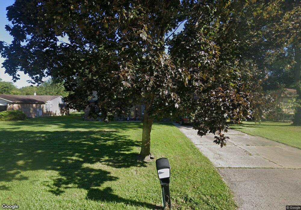
3150 Shakertown Rd Beavercreek, OH 45434
Estimated Value: $386,000 - $492,000
5
Beds
3
Baths
3,422
Sq Ft
$128/Sq Ft
Est. Value
About This Home
This home is located at 3150 Shakertown Rd, Beavercreek, OH 45434 and is currently estimated at $438,196, approximately $128 per square foot. 3150 Shakertown Rd is a home located in Greene County with nearby schools including Valley Elementary School, Herman K Ankeney Middle School, and Beavercreek High School.
Ownership History
Date
Name
Owned For
Owner Type
Purchase Details
Closed on
May 13, 1998
Sold by
Savard Michael A and Savard Tamara R
Bought by
Agne Daniel M and Agne Mary A
Current Estimated Value
Purchase Details
Closed on
Nov 27, 1995
Sold by
Haverland Rick A
Bought by
Savard Michael A and Savard R
Home Financials for this Owner
Home Financials are based on the most recent Mortgage that was taken out on this home.
Original Mortgage
$162,150
Outstanding Balance
$3,379
Interest Rate
7.56%
Mortgage Type
VA
Estimated Equity
$434,817
Create a Home Valuation Report for This Property
The Home Valuation Report is an in-depth analysis detailing your home's value as well as a comparison with similar homes in the area
Home Values in the Area
Average Home Value in this Area
Purchase History
| Date | Buyer | Sale Price | Title Company |
|---|---|---|---|
| Agne Daniel M | $158,900 | -- | |
| Savard Michael A | $158,000 | -- |
Source: Public Records
Mortgage History
| Date | Status | Borrower | Loan Amount |
|---|---|---|---|
| Open | Savard Michael A | $162,150 |
Source: Public Records
Tax History Compared to Growth
Tax History
| Year | Tax Paid | Tax Assessment Tax Assessment Total Assessment is a certain percentage of the fair market value that is determined by local assessors to be the total taxable value of land and additions on the property. | Land | Improvement |
|---|---|---|---|---|
| 2024 | $7,359 | $112,720 | $15,230 | $97,490 |
| 2023 | $7,359 | $112,720 | $15,230 | $97,490 |
| 2022 | $6,298 | $85,160 | $10,500 | $74,660 |
| 2021 | $6,170 | $85,160 | $10,500 | $74,660 |
| 2020 | $6,217 | $85,160 | $10,500 | $74,660 |
| 2019 | $6,423 | $80,210 | $8,890 | $71,320 |
| 2018 | $5,670 | $80,210 | $8,890 | $71,320 |
| 2017 | $5,357 | $80,210 | $8,890 | $71,320 |
| 2016 | $5,358 | $73,540 | $8,890 | $64,650 |
| 2015 | $5,326 | $73,540 | $8,890 | $64,650 |
| 2014 | $5,246 | $73,540 | $8,890 | $64,650 |
Source: Public Records
Map
Nearby Homes
- 2591 Golden Leaf Dr
- 3363 Maplewood Dr
- 2723 Golden Leaf Dr Unit 18-301
- 2703 Golden Leaf Dr Unit 19-303
- 2757 Golden Leaf Dr Unit 18-204
- 2665 Golden Leaf Dr Unit 16-303
- 2677 Golden Leaf Dr Unit 16-204
- 684 Newton Dr
- 713 Newton Dr
- 3050 Viola Dr
- 3392 Greenburn Rd Unit 3392
- 527 Viking Landing Ct
- 2940 Stonewall Dr
- 3330 Fair Oaks Dr
- 337 Honey Jane Dr
- 679 Greystone Dr
- 3534 Sunset Bluff Dr
- 1140 Katie Cir
- 3211 Tarleton Dr
- 2721 Sky Crossing Dr
- 3160 Shakertown Rd
- 3140 Shakertown Rd
- 3170 Shakertown Rd
- 685 Carlsbrook Dr
- 3151 Willow Bend E
- 3141 Willow Bend E
- 3161 Willow Bend E
- 658 Waverly Dr
- 3141 Willow Bend St E
- 653 Waverly Dr
- 3171 Willow Bend E
- 701 Carlsbrook Dr
- 3180 Shakertown Rd
- 648 Waverly Dr
- 659 Coy Dr
- 3181 Willow Bend E
- 650 Merrick Dr
- 641 Waverly Dr
- 680 Carlsbrook Dr
- 690 Carlsbrook Dr
