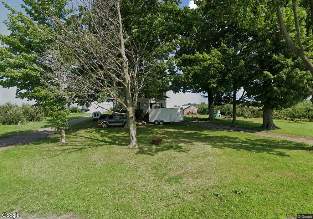
3151 Densmore Rd Albion, NY 14411
Estimated Value: $265,000 - $584,751
4
Beds
1
Bath
1,736
Sq Ft
$244/Sq Ft
Est. Value
About This Home
This home is located at 3151 Densmore Rd, Albion, NY 14411 and is currently estimated at $423,584, approximately $244 per square foot. 3151 Densmore Rd is a home located in Orleans County with nearby schools including Ronald L Sodoma Elementary School, Carl I Bergerson Middle School, and Charles d'Amico High School.
Ownership History
Date
Name
Owned For
Owner Type
Purchase Details
Closed on
May 29, 2009
Sold by
Trust U/W/O Kirby John D
Bought by
Kirby Cider Mill Inc
Current Estimated Value
Home Financials for this Owner
Home Financials are based on the most recent Mortgage that was taken out on this home.
Original Mortgage
$3,123
Interest Rate
4.87%
Mortgage Type
Purchase Money Mortgage
Create a Home Valuation Report for This Property
The Home Valuation Report is an in-depth analysis detailing your home's value as well as a comparison with similar homes in the area
Home Values in the Area
Average Home Value in this Area
Purchase History
| Date | Buyer | Sale Price | Title Company |
|---|---|---|---|
| Kirby Cider Mill Inc | $75,000 | John Gavenda |
Source: Public Records
Mortgage History
| Date | Status | Borrower | Loan Amount |
|---|---|---|---|
| Closed | Kirby Cider Mill Inc | $3,123 |
Source: Public Records
Tax History
| Year | Tax Paid | Tax Assessment Tax Assessment Total Assessment is a certain percentage of the fair market value that is determined by local assessors to be the total taxable value of land and additions on the property. | Land | Improvement |
|---|---|---|---|---|
| 2024 | $8,575 | $451,900 | $318,100 | $133,800 |
| 2023 | $8,957 | $379,600 | $306,100 | $73,500 |
| 2022 | $12,073 | $379,600 | $306,100 | $73,500 |
| 2021 | $12,101 | $379,600 | $306,100 | $73,500 |
| 2020 | $5,893 | $379,600 | $306,100 | $73,500 |
| 2019 | $5,893 | $421,400 | $347,900 | $73,500 |
| 2018 | $5,893 | $302,900 | $232,000 | $70,900 |
| 2017 | $5,797 | $302,900 | $232,000 | $70,900 |
| 2016 | $3,677 | $302,900 | $232,000 | $70,900 |
| 2015 | -- | $210,600 | $143,300 | $67,300 |
| 2014 | -- | $210,600 | $143,300 | $67,300 |
Source: Public Records
Map
Nearby Homes
- 0 Densmore Rd
- 136 Knapp St
- 71 Brown St
- 3278 Fancher Rd
- 302 Linwood Ave
- 0 Vl Ridge Rd W
- 254 E Bank St
- 151 Mckinstry St
- 109 Herrick St
- 7 North St
- 110 Beaver St
- 16305 Ridge Rd W
- 117 W Academy St
- 314 W State St
- 0 Hamilton St
- 4055 S Fancher Rd
- 0 Lynch Rd Unit R1653187
- 0 Lynch Rd Unit LotWP002
- 0 Lynch Rd Unit 25700809
- 0 Lynch Rd Unit R1652867
- 3130 Densmore Rd
- 3120 Densmore Rd
- 3440 Densmore Rd
- 3486 Densmore Rd
- 3512 Densmore Rd
- 3516 Densmore Rd
- 15153 Trolley Rd
- 15089 Trolley Rd
- 3565 Densmore Rd
- 3173 Densmore Rd
- 15210 Zig Zag Rd
- 3349 Keitel Rd
- 3299 Keitel Rd
- 15275 State Route 31
- 3440 Transit Rd
- 3449 Keitel Rd
- 15163 State Route 31
- 15120 Zig Zag Rd
- 15243 State Route 31
- 3265 Keitel Rd
Your Personal Tour Guide
Ask me questions while you tour the home.