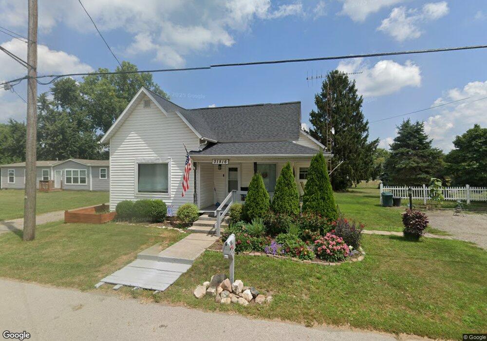
31516 State Route 31 West Mansfield, OH 43358
Estimated Value: $105,000 - $139,000
2
Beds
1
Bath
938
Sq Ft
$129/Sq Ft
Est. Value
About This Home
This home is located at 31516 State Route 31, West Mansfield, OH 43358 and is currently estimated at $121,355, approximately $129 per square foot. 31516 State Route 31 is a home located in Union County with nearby schools including North Union Elementary School, North Union Middle School, and North Union High School.
Ownership History
Date
Name
Owned For
Owner Type
Purchase Details
Closed on
Apr 13, 2023
Sold by
Rickard Wayne
Bought by
Marvin Eric L and Pyles Malia A
Current Estimated Value
Create a Home Valuation Report for This Property
The Home Valuation Report is an in-depth analysis detailing your home's value as well as a comparison with similar homes in the area
Home Values in the Area
Average Home Value in this Area
Purchase History
| Date | Buyer | Sale Price | Title Company |
|---|---|---|---|
| Marvin Eric L | $95,000 | None Listed On Document |
Source: Public Records
Tax History Compared to Growth
Tax History
| Year | Tax Paid | Tax Assessment Tax Assessment Total Assessment is a certain percentage of the fair market value that is determined by local assessors to be the total taxable value of land and additions on the property. | Land | Improvement |
|---|---|---|---|---|
| 2024 | $996 | $25,680 | $3,380 | $22,300 |
| 2023 | $996 | $25,680 | $3,380 | $22,300 |
| 2022 | $980 | $25,680 | $3,380 | $22,300 |
| 2021 | $798 | $19,740 | $2,600 | $17,140 |
| 2020 | $797 | $19,740 | $2,600 | $17,140 |
| 2019 | $799 | $19,740 | $2,600 | $17,140 |
| 2018 | $624 | $15,200 | $2,130 | $13,070 |
| 2017 | $622 | $15,200 | $2,130 | $13,070 |
| 2016 | $636 | $15,200 | $2,130 | $13,070 |
| 2015 | $465 | $10,830 | $2,130 | $8,700 |
| 2014 | $470 | $10,830 | $2,130 | $8,700 |
| 2013 | $480 | $10,830 | $2,130 | $8,700 |
Source: Public Records
Map
Nearby Homes
- 31535 State Route 31
- 31434 State Route 31
- 0 Ohio 31
- 32220 State Route 31
- 30650 State Route 739
- 25875 Ohio 31
- 18055 Miller Rd
- 28370 State Route 739
- 18120 Yoakum Rd
- 23750 Drake-Skidmore Rd
- 23863 Drake Skidmore Rd
- 22273 County Road 240
- 32675 Winnemac Rd
- 0 Winnemac Rd Unit Tract 5 225033739
- 0 Winnemac Rd Unit Tract 4 225033731
- 0 Winnemac Rd Unit Tract 3 225033725
- 0 Winnemac Rd Unit Tract 1 225033712
- 33883 Winnemac Rd
- 19250 Powder Lick Rd
- 15275 Boundary Rd
- 31494 State Route 31
- 31503 State Route 31
- 31486 State Route 31
- 31497 State Route 31
- 31542 State Route 31
- 31443 Strt
- 20445 State Route 739
- 20433 State Route 739
- 20433 State Route 739
- 20406 State Route 739
- 31571 State Route 31
- 31535 Ohio 31
- 31443 State Route 31
- 31587 Ohio 31
- 31587 State Route 31
- 31602 State Route 31
- 20380 State Route 739
- 20380 Ohio 739
- 20522 Treaty Line Rd