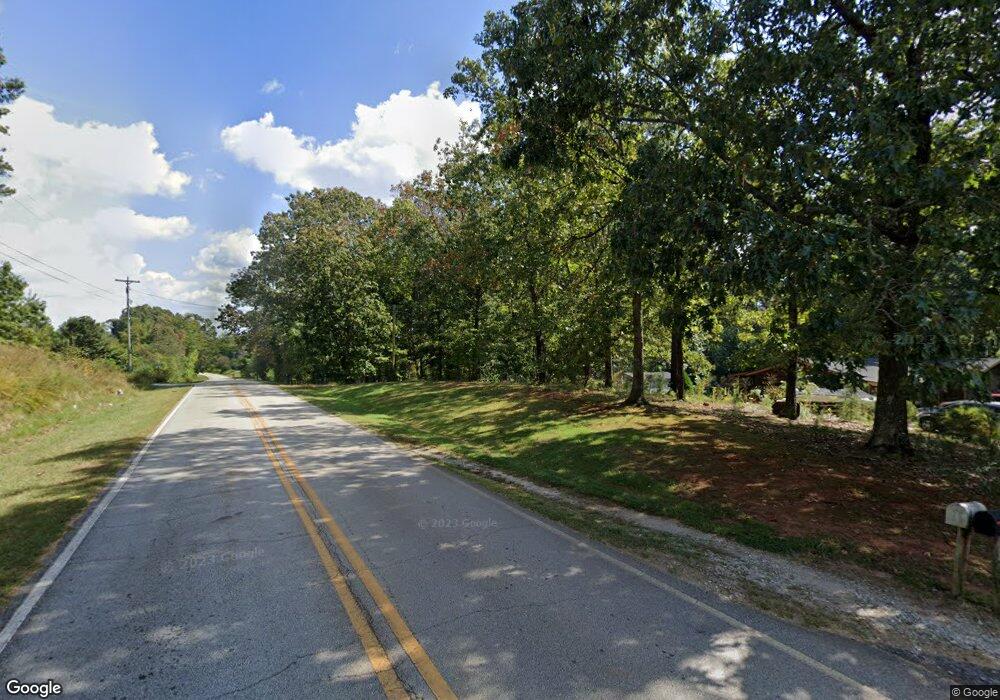
3152 Riverbend Rd Demorest, GA 30535
Estimated Value: $247,000 - $271,674
3
Beds
2
Baths
1,514
Sq Ft
$171/Sq Ft
Est. Value
About This Home
This home is located at 3152 Riverbend Rd, Demorest, GA 30535 and is currently estimated at $258,919, approximately $171 per square foot. 3152 Riverbend Rd is a home located in Habersham County with nearby schools including Fairview Elementary School, North Habersham Middle School, and Habersham Success Academy.
Ownership History
Date
Name
Owned For
Owner Type
Purchase Details
Closed on
Feb 7, 2025
Sold by
Sosebee Brian Keith
Bought by
Sosebee William Kent
Current Estimated Value
Home Financials for this Owner
Home Financials are based on the most recent Mortgage that was taken out on this home.
Original Mortgage
$190,272
Outstanding Balance
$189,146
Interest Rate
6.93%
Mortgage Type
FHA
Estimated Equity
$69,773
Purchase Details
Closed on
Nov 9, 2024
Sold by
Sosebee Brenda Elaine Estate
Bought by
Campbell Bruce Morgan
Purchase Details
Closed on
Jun 16, 2020
Sold by
Sosebee William Kent
Bought by
Sosebee Brian Keith
Create a Home Valuation Report for This Property
The Home Valuation Report is an in-depth analysis detailing your home's value as well as a comparison with similar homes in the area
Home Values in the Area
Average Home Value in this Area
Purchase History
| Date | Buyer | Sale Price | Title Company |
|---|---|---|---|
| Sosebee William Kent | $232,000 | -- | |
| Campbell Bruce Morgan | $12,000 | -- | |
| Sosebee Brian Keith | -- | -- |
Source: Public Records
Mortgage History
| Date | Status | Borrower | Loan Amount |
|---|---|---|---|
| Open | Sosebee William Kent | $190,272 |
Source: Public Records
Tax History Compared to Growth
Tax History
| Year | Tax Paid | Tax Assessment Tax Assessment Total Assessment is a certain percentage of the fair market value that is determined by local assessors to be the total taxable value of land and additions on the property. | Land | Improvement |
|---|---|---|---|---|
| 2025 | $452 | $103,664 | $31,219 | $72,445 |
| 2024 | -- | $71,748 | $25,420 | $46,328 |
| 2023 | $212 | $55,492 | $16,948 | $38,544 |
| 2022 | $1,309 | $50,216 | $16,948 | $33,268 |
| 2021 | $1,105 | $42,568 | $12,712 | $29,856 |
| 2020 | $399 | $38,520 | $12,712 | $25,808 |
| 2019 | $399 | $38,520 | $12,712 | $25,808 |
| 2018 | $391 | $38,520 | $12,712 | $25,808 |
| 2017 | $295 | $32,372 | $8,476 | $23,896 |
| 2016 | $264 | $80,930 | $8,476 | $23,896 |
| 2015 | $255 | $80,930 | $8,476 | $23,896 |
| 2014 | $255 | $80,090 | $8,476 | $23,560 |
| 2013 | -- | $32,036 | $8,476 | $23,560 |
Source: Public Records
Map
Nearby Homes
- 474 White Pine Cir
- 303 Chitwood Rd
- 239 Cool Springs Rd Unit LOT 8
- 1045 Fairview School Rd
- 239 Cool Springs Lot #8 Rd
- 132 Fairview Meadows Dr
- 22 Ridge Haven Dr
- 922 Amys Ford Trail
- 244 Stonehedge Dr
- 0 Waterside Trail Unit 10497096
- 0 Waterside Trail Unit 7556513
- 368 Dixon Rd
- 552 LOT 47 Riverside Dr
- 618 Riverside Dr
- 518 Riverside Dr
- 2446 Dean Mountain Rd
- 1008 River Estates Rd
- 69 Blue Creek Cove
- 255 Cool Springs Road Lot Rd Unit 7
- 255 Cool Springs Road -Lot #7 Rd
- 3050 Riverbend Rd
- 0 Alfred Taylor Rd Unit 10367453
- 0 Alfred Taylor Rd Unit 10346958
- 0 Alfred Taylor Rd
- 3162 Riverbend Rd
- 0 Alfred Taylor Dr Unit 8461528
- 0 Alfred Taylor Dr Unit 5 3088456
- 0 Alfred Taylor Dr Unit 5 7120744
- 0 Alfred Taylor Dr Unit LOT 5 7318903
- 0 Alfred Taylor Dr Unit LOT 3 7325793
- 0 Alfred Taylor Dr Unit 9068360
- 0 Alfred Taylor Dr Unit 8889672
- 0 Alfred Taylor Dr Unit 8834445
- 0 Alfred Taylor Dr Unit 7056792
- 0 Alfred Taylor Dr Unit 7248749
- 3019 Riverbend Rd
- 3180 Riverbend Rd
- 3156 Riverbend Rd
- 3178 Riverbend Rd
- 3160 Riverbend Rd
