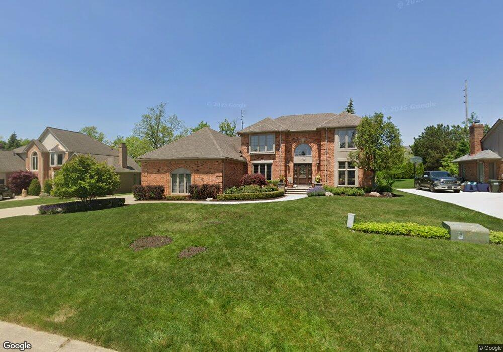
3152 Summit Ridge Dr Rochester Hills, MI 48306
Estimated Value: $578,952 - $689,000
4
Beds
3
Baths
3,296
Sq Ft
$194/Sq Ft
Est. Value
About This Home
This home is located at 3152 Summit Ridge Dr, Rochester Hills, MI 48306 and is currently estimated at $639,738, approximately $194 per square foot. 3152 Summit Ridge Dr is a home located in Oakland County with nearby schools including Musson Elementary School, Van Hoosen Middle School, and Rochester Adams High School.
Ownership History
Date
Name
Owned For
Owner Type
Purchase Details
Closed on
Apr 15, 2005
Sold by
Mcmurtry Gregory W and Mcmurtry Julie A
Bought by
Murray Abdu H and Murray Nicole N
Current Estimated Value
Create a Home Valuation Report for This Property
The Home Valuation Report is an in-depth analysis detailing your home's value as well as a comparison with similar homes in the area
Home Values in the Area
Average Home Value in this Area
Purchase History
| Date | Buyer | Sale Price | Title Company |
|---|---|---|---|
| Murray Abdu H | $371,500 | Metropolitan Title Company |
Source: Public Records
Tax History Compared to Growth
Tax History
| Year | Tax Paid | Tax Assessment Tax Assessment Total Assessment is a certain percentage of the fair market value that is determined by local assessors to be the total taxable value of land and additions on the property. | Land | Improvement |
|---|---|---|---|---|
| 2022 | $2,861 | $197,680 | $0 | $0 |
| 2018 | $4,743 | $185,580 | $0 | $0 |
| 2017 | $4,648 | $183,680 | $0 | $0 |
| 2015 | -- | $170,730 | $0 | $0 |
| 2014 | -- | $157,340 | $0 | $0 |
| 2011 | -- | $131,710 | $0 | $0 |
Source: Public Records
Map
Nearby Homes
- 5826 Murfield Dr
- 3273 Salem Dr
- 2935 Woodford Cir
- 1609 Kilburn Rd N
- 5724 Murfield Dr
- 1906 Independence Ct
- 2821 Addison Cir S
- 3185 Saint James Ct
- 3674 Merriweather Ln
- 5700 Rolling Hills Dr
- 5350 Brewster Rd
- 1515 Chevy Circuit
- 3582 Tremonte Cir S Unit 276
- 3577 Oakmonte Blvd
- 3522 Oakmonte Blvd Unit 115
- 3574 Oakmonte Blvd
- 2750 Castlemartin Ct Unit 22
- 2794 Castlemartin Ct
- 2879 Hastings Ct Unit 73
- 1378 E Greythorne Dr
- 3172 Summit Ridge Dr
- 3138 Summit Ridge Dr
- 3110 Eastpointe Ct
- 3180 Summit Ridge Dr
- 3153 Summit Ridge Dr
- 3167 Summit Ridge Dr
- 3125 Summit Ridge Dr
- 3181 Summit Ridge Dr
- 3181 Summit Ridge Dr
- 3208 Summit Ridge Dr
- 3096 Eastpointe Ct
- 3195 Summit Ridge Dr
- 3100 Kilburn Rd W
- 3120 Kilburn Rd W
- 3082 Kilburn Rd W
- 3222 Summit Ridge Dr
- 3140 Kilburn Rd W
- 3207 Summit Ridge Dr
- 3052 Kilburn Rd W
- 3082 Eastpointe Ct