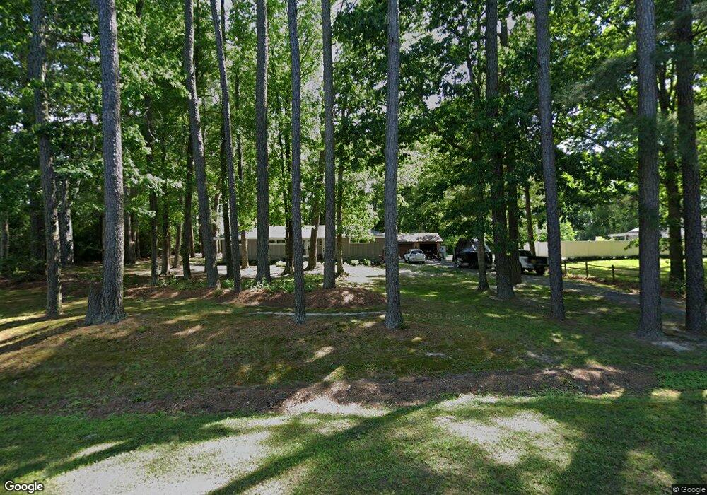
31521 Har Par Ct Salisbury, MD 21804
South Salisbury NeighborhoodEstimated Value: $216,353 - $318,000
--
Bed
1
Bath
1,464
Sq Ft
$187/Sq Ft
Est. Value
About This Home
This home is located at 31521 Har Par Ct, Salisbury, MD 21804 and is currently estimated at $273,838, approximately $187 per square foot. 31521 Har Par Ct is a home located in Wicomico County with nearby schools including Charles H. Chipman Elementary School, Glen Avenue Elementary School, and Wicomico Middle School.
Ownership History
Date
Name
Owned For
Owner Type
Purchase Details
Closed on
Feb 10, 1993
Sold by
Sec Of Housing & Urban Dev
Bought by
Uhrich Daniel G
Current Estimated Value
Home Financials for this Owner
Home Financials are based on the most recent Mortgage that was taken out on this home.
Original Mortgage
$41,800
Interest Rate
7.8%
Purchase Details
Closed on
Nov 10, 1992
Sold by
Tarry Frank and Tarry Barbara
Bought by
Sec Of Housing & Urban Dev
Purchase Details
Closed on
Mar 26, 1987
Sold by
Hull Paul T and Hull Judith A
Bought by
Tarry Frank and Tarry Barbara
Home Financials for this Owner
Home Financials are based on the most recent Mortgage that was taken out on this home.
Original Mortgage
$58,500
Interest Rate
9.03%
Create a Home Valuation Report for This Property
The Home Valuation Report is an in-depth analysis detailing your home's value as well as a comparison with similar homes in the area
Home Values in the Area
Average Home Value in this Area
Purchase History
| Date | Buyer | Sale Price | Title Company |
|---|---|---|---|
| Uhrich Daniel G | $44,000 | -- | |
| Sec Of Housing & Urban Dev | $55,500 | -- | |
| Tarry Frank | $57,000 | -- |
Source: Public Records
Mortgage History
| Date | Status | Borrower | Loan Amount |
|---|---|---|---|
| Closed | Uhrich Daniel G | $41,800 | |
| Previous Owner | Tarry Frank | $58,500 |
Source: Public Records
Tax History Compared to Growth
Tax History
| Year | Tax Paid | Tax Assessment Tax Assessment Total Assessment is a certain percentage of the fair market value that is determined by local assessors to be the total taxable value of land and additions on the property. | Land | Improvement |
|---|---|---|---|---|
| 2025 | $1,526 | $170,400 | $36,500 | $133,900 |
| 2024 | $1,526 | $159,567 | $0 | $0 |
| 2023 | $1,449 | $148,733 | $0 | $0 |
| 2022 | $1,465 | $137,900 | $36,500 | $101,400 |
| 2021 | $1,444 | $136,067 | $0 | $0 |
| 2020 | $1,444 | $134,233 | $0 | $0 |
| 2019 | $1,446 | $132,400 | $36,500 | $95,900 |
| 2018 | $1,403 | $127,733 | $0 | $0 |
| 2017 | $1,354 | $123,067 | $0 | $0 |
| 2016 | -- | $118,400 | $0 | $0 |
| 2015 | $1,182 | $118,400 | $0 | $0 |
| 2014 | $1,182 | $118,400 | $0 | $0 |
Source: Public Records
Map
Nearby Homes
- 31191 Johnson Rd
- 30885 Johnson Rd
- 30883 Ward Rd
- 31105 Stevens Ln
- 5867 Kirknewton Dr
- 00 Snow Hill Rd
- 0 Mt Hermon Rd Unit MDWC2020280
- 32052 Jordan Ct
- 31867 Shavox Rd
- 1801 Crawford Dr
- 32197 Johnson Rd
- 32201 Johnson Rd
- 1128 Riden Ct
- 0 Hammond School Rd
- 31123 Olde Fruitland Rd
- 1104 Calebs Way
- 6280 Hobbs Rd
- 1112 S Schumaker Dr Unit 205
- 316 Autumn Terrace
- 350 Tilghman Rd
- 31535 Har Par Ct
- 31513 Har Par Ct
- 31553 Har Par Ct
- 5151 Airport Rd
- 31493 Har Par Ct
- 5143 Airport Rd
- 31489 Fooks Rd
- 31503 Fooks Rd
- 5107 Airport Rd
- 31519 Fooks Rd
- 0 Airport Rd Unit 1001561168
- 31535 Fooks Rd
- 5095 Airport Rd
- 5073 Airport Rd
- 5069 Airport Rd
- 5279 Airport Rd
- 5053 Airport Rd
- 5043 Airport Rd
- 5133 Airport Rd
- 5012 Airport Rd