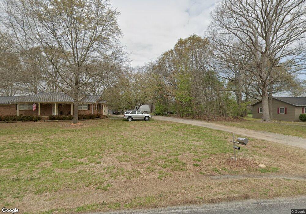
3153 Hipp Rd Iron Station, NC 28080
Estimated Value: $240,931 - $536,000
3
Beds
2
Baths
1,900
Sq Ft
$188/Sq Ft
Est. Value
About This Home
This home is located at 3153 Hipp Rd, Iron Station, NC 28080 and is currently estimated at $356,983, approximately $187 per square foot. 3153 Hipp Rd is a home located in Lincoln County with nearby schools including Iron Station Elementary School, East Lincoln Middle School, and East Lincoln High School.
Ownership History
Date
Name
Owned For
Owner Type
Purchase Details
Closed on
Nov 5, 2024
Sold by
Mcalister Melissa K
Bought by
Mcalister Mary Clara Pearl
Current Estimated Value
Purchase Details
Closed on
Mar 1, 2018
Sold by
Mcalister Steven C and Mcalister Melissa K
Bought by
Ferrell Francis Wayne and Ferrell Donna E
Purchase Details
Closed on
Jan 14, 1999
Bought by
Mcalister Steven C and Mcalister Melissa K
Create a Home Valuation Report for This Property
The Home Valuation Report is an in-depth analysis detailing your home's value as well as a comparison with similar homes in the area
Home Values in the Area
Average Home Value in this Area
Purchase History
| Date | Buyer | Sale Price | Title Company |
|---|---|---|---|
| Mcalister Mary Clara Pearl | -- | None Listed On Document | |
| Mcalister Mary Clara Pearl | -- | None Listed On Document | |
| Ferrell Francis Wayne | $25,000 | None Available | |
| Mcalister Steven C | $68,000 | -- |
Source: Public Records
Tax History Compared to Growth
Tax History
| Year | Tax Paid | Tax Assessment Tax Assessment Total Assessment is a certain percentage of the fair market value that is determined by local assessors to be the total taxable value of land and additions on the property. | Land | Improvement |
|---|---|---|---|---|
| 2025 | $1,013 | $140,996 | $36,379 | $104,617 |
| 2024 | $993 | $140,996 | $36,379 | $104,617 |
| 2023 | $969 | $140,996 | $36,379 | $104,617 |
| 2022 | $791 | $91,951 | $29,507 | $62,444 |
| 2021 | $791 | $91,951 | $29,507 | $62,444 |
| 2020 | $658 | $91,951 | $29,507 | $62,444 |
| 2019 | $658 | $91,951 | $29,507 | $62,444 |
| 2018 | $795 | $0 | $0 | $55,029 |
| 2017 | $694 | $95,328 | $40,299 | $55,029 |
| 2016 | $694 | $95,328 | $40,299 | $55,029 |
| 2015 | $766 | $95,328 | $40,299 | $55,029 |
| 2014 | $810 | $102,695 | $40,974 | $61,721 |
Source: Public Records
Map
Nearby Homes
- 222 Oakhill St
- 6 Hager Mountain Ln
- 4394 Mountain Creek Rd
- 5486 E Highway 27
- 4859 Paysour Pond Rd
- 4435 Cornett Dr
- 3960 Orchard Rd
- 121 Alexis Forest Dr
- 3388 Rhyne Forest Rd
- 1279 Craig Dr
- 0001 Mayberry Rd
- 713 Alexis Lucia Rd
- 1371 Alexis High Shoals Rd
- 1987 & 1981 Magnolia Grove Rd
- 1481 Depot St
- 1554 Forum Ln
- 1049 Ramsey St
- 3323 Sadler Rd
- 1789 Doe Ct
- 1713 Oak Park Ct