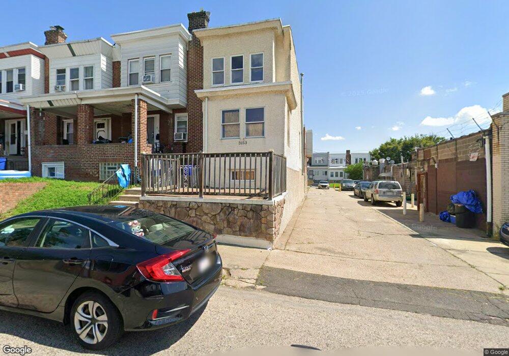
3153 Stirling St Philadelphia, PA 19149
Mayfair NeighborhoodEstimated Value: $186,000 - $264,000
3
Beds
2
Baths
1,080
Sq Ft
$200/Sq Ft
Est. Value
About This Home
This home is located at 3153 Stirling St, Philadelphia, PA 19149 and is currently estimated at $215,902, approximately $199 per square foot. 3153 Stirling St is a home located in Philadelphia County with nearby schools including Lincoln High School, Ethan Allen School, and Keystone Academy Charter School.
Ownership History
Date
Name
Owned For
Owner Type
Purchase Details
Closed on
Aug 28, 2008
Sold by
Sheen Sandra
Bought by
Haynes Amenna K and Maldonado Edwin
Current Estimated Value
Home Financials for this Owner
Home Financials are based on the most recent Mortgage that was taken out on this home.
Original Mortgage
$147,831
Outstanding Balance
$98,422
Interest Rate
6.54%
Mortgage Type
FHA
Estimated Equity
$117,480
Create a Home Valuation Report for This Property
The Home Valuation Report is an in-depth analysis detailing your home's value as well as a comparison with similar homes in the area
Home Values in the Area
Average Home Value in this Area
Purchase History
| Date | Buyer | Sale Price | Title Company |
|---|---|---|---|
| Haynes Amenna K | $149,000 | None Available |
Source: Public Records
Mortgage History
| Date | Status | Borrower | Loan Amount |
|---|---|---|---|
| Open | Haynes Amenna K | $147,831 |
Source: Public Records
Tax History Compared to Growth
Tax History
| Year | Tax Paid | Tax Assessment Tax Assessment Total Assessment is a certain percentage of the fair market value that is determined by local assessors to be the total taxable value of land and additions on the property. | Land | Improvement |
|---|---|---|---|---|
| 2025 | $2,368 | $205,500 | $41,100 | $164,400 |
| 2024 | $2,368 | $205,500 | $41,100 | $164,400 |
| 2023 | $2,368 | $169,200 | $33,840 | $135,360 |
| 2022 | $1,229 | $124,200 | $33,840 | $90,360 |
| 2021 | $1,859 | $0 | $0 | $0 |
| 2020 | $1,859 | $0 | $0 | $0 |
| 2019 | $1,783 | $0 | $0 | $0 |
| 2018 | $1,485 | $0 | $0 | $0 |
| 2017 | $1,485 | $0 | $0 | $0 |
| 2016 | $1,065 | $0 | $0 | $0 |
| 2015 | $1,020 | $0 | $0 | $0 |
| 2014 | -- | $106,100 | $20,687 | $85,413 |
| 2012 | -- | $11,808 | $1,096 | $10,712 |
Source: Public Records
Map
Nearby Homes
- 3148 Barnett St
- 3153 Barnett St
- 3134 Stirling St
- 4014 Barnett St
- 6241 Frankford Ave
- 6239 Frankford Ave
- 4116 Stirling St
- 6219 Mulberry St
- 3118 Hellerman St
- 3038 Hellerman St
- 4141 Levick St
- 4154 Robbins St
- 3007 Mckinley St
- 4145 Elbridge St
- 4019 Hellerman St
- 6143 Hawthorne St
- 6164 Tackawanna St
- 4623 Hawthorne St
- 2916 Levick St
- 3111 Gilham St
- 3151 Stirling St
- 3149 Stirling St
- 3147 Stirling St
- 6324 Sackett St
- 6320 Sackett St
- 6316 Sackett St
- 3145 Stirling St
- 3152 Barnett St
- 3150 Barnett St
- 3143 Stirling St
- 6318 Sackett St
- 3146 Barnett St
- 3141 Stirling St
- 3144 Barnett St
- 6322 Sackett St
- 6326 Sackett St
- 3142 Barnett St
- 3139 Stirling St
- 3140 Barnett St
- 3137 Stirling St