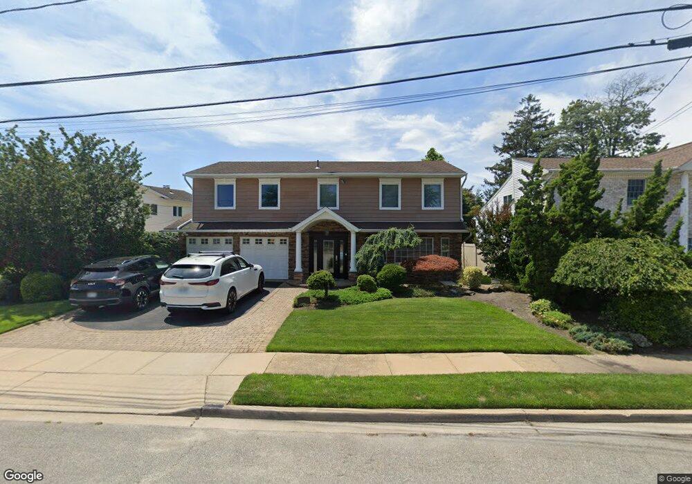
3156 Wynsum Ave Merrick, NY 11566
Estimated Value: $1,114,000 - $1,163,420
--
Bed
3
Baths
2,713
Sq Ft
$420/Sq Ft
Est. Value
About This Home
This home is located at 3156 Wynsum Ave, Merrick, NY 11566 and is currently estimated at $1,138,710, approximately $419 per square foot. 3156 Wynsum Ave is a home located in Nassau County with nearby schools including Burcham Elementary School, Merrick Avenue Middle School, and John F. Kennedy High School.
Ownership History
Date
Name
Owned For
Owner Type
Purchase Details
Closed on
Sep 6, 2022
Sold by
Yellin Neil and Yellin Helen Blitzer
Bought by
Levison Gary David and Levison Lauren Cayne
Current Estimated Value
Home Financials for this Owner
Home Financials are based on the most recent Mortgage that was taken out on this home.
Original Mortgage
$799,200
Outstanding Balance
$757,003
Interest Rate
4.25%
Mortgage Type
New Conventional
Estimated Equity
$381,707
Create a Home Valuation Report for This Property
The Home Valuation Report is an in-depth analysis detailing your home's value as well as a comparison with similar homes in the area
Home Values in the Area
Average Home Value in this Area
Purchase History
| Date | Buyer | Sale Price | Title Company |
|---|---|---|---|
| Levison Gary David | $999,000 | Amtrust Title Insurance Co |
Source: Public Records
Mortgage History
| Date | Status | Borrower | Loan Amount |
|---|---|---|---|
| Open | Levison Gary David | $799,200 |
Source: Public Records
Tax History Compared to Growth
Tax History
| Year | Tax Paid | Tax Assessment Tax Assessment Total Assessment is a certain percentage of the fair market value that is determined by local assessors to be the total taxable value of land and additions on the property. | Land | Improvement |
|---|---|---|---|---|
| 2025 | $21,825 | $719 | $282 | $437 |
| 2024 | $5,317 | $728 | $286 | $442 |
| 2023 | $18,287 | $767 | $301 | $466 |
| 2022 | $18,287 | $761 | $299 | $462 |
| 2021 | $16,704 | $755 | $296 | $459 |
| 2020 | $15,558 | $932 | $584 | $348 |
| 2019 | $4,171 | $952 | $597 | $355 |
| 2018 | $10,701 | $952 | $0 | $0 |
| 2017 | $9,183 | $952 | $495 | $457 |
| 2016 | $13,013 | $1,148 | $539 | $609 |
| 2015 | $4,504 | $1,212 | $569 | $643 |
| 2014 | $4,504 | $1,212 | $569 | $643 |
| 2013 | $4,475 | $1,272 | $597 | $675 |
Source: Public Records
Map
Nearby Homes
- 3148 Wynsum Ave
- 3164 Wynsum Ave
- 2104 Vine Dr
- 3142 Wynsum Ave
- 3170 Wynsum Ave
- 2100 Vine Dr
- 2110 Vine Dr
- 3218 Leeward Ln
- 3217 Leeward Ln
- 2096 Vine Dr
- 3176 Wynsum Ave
- 3136 Wynsum Ave
- 3163 Wynsum Ave
- 2116 Vine Dr
- 3141 Wynsum Ave
- 3167 Wynsum Ave
- 3182 Wynsum Ave
- 3171 Wynsum Ave
- 3130 Wynsum Ave
- 3135 Wynsum Ave