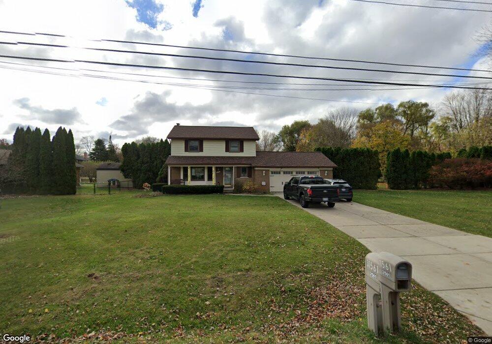
31561 Norfolk St Livonia, MI 48152
Estimated Value: $366,000 - $397,000
3
Beds
3
Baths
1,582
Sq Ft
$240/Sq Ft
Est. Value
About This Home
This home is located at 31561 Norfolk St, Livonia, MI 48152 and is currently estimated at $380,448, approximately $240 per square foot. 31561 Norfolk St is a home located in Wayne County with nearby schools including Clarenceville High School, Grand River Academy, and Concordia Lutheran School.
Ownership History
Date
Name
Owned For
Owner Type
Purchase Details
Closed on
Sep 18, 2018
Sold by
Brooks Mark D
Bought by
Maisano Zoe Anne and Maisano Julius
Current Estimated Value
Purchase Details
Closed on
Aug 26, 2015
Sold by
Brooks Melissa R
Bought by
Brooks Mark D
Home Financials for this Owner
Home Financials are based on the most recent Mortgage that was taken out on this home.
Original Mortgage
$201,261
Interest Rate
3.5%
Mortgage Type
FHA
Purchase Details
Closed on
Sep 27, 2002
Sold by
Fegan Mary J
Bought by
Brooks Mark D
Create a Home Valuation Report for This Property
The Home Valuation Report is an in-depth analysis detailing your home's value as well as a comparison with similar homes in the area
Home Values in the Area
Average Home Value in this Area
Purchase History
| Date | Buyer | Sale Price | Title Company |
|---|---|---|---|
| Maisano Zoe Anne | $245,000 | None Available | |
| Brooks Mark D | -- | Title Connect Llc | |
| Brooks Mark D | $255,000 | -- |
Source: Public Records
Mortgage History
| Date | Status | Borrower | Loan Amount |
|---|---|---|---|
| Previous Owner | Brooks Mark D | $201,261 |
Source: Public Records
Tax History Compared to Growth
Tax History
| Year | Tax Paid | Tax Assessment Tax Assessment Total Assessment is a certain percentage of the fair market value that is determined by local assessors to be the total taxable value of land and additions on the property. | Land | Improvement |
|---|---|---|---|---|
| 2025 | $2,925 | $172,100 | $0 | $0 |
| 2024 | $2,925 | $157,000 | $0 | $0 |
| 2023 | $2,795 | $145,800 | $0 | $0 |
| 2022 | $4,646 | $126,600 | $0 | $0 |
| 2021 | $4,522 | $122,200 | $0 | $0 |
| 2019 | $4,336 | $115,400 | $0 | $0 |
| 2018 | $1,801 | $102,500 | $0 | $0 |
| 2017 | $2,688 | $97,000 | $0 | $0 |
| 2016 | $3,044 | $97,000 | $0 | $0 |
| 2015 | $8,008 | $86,010 | $0 | $0 |
| 2012 | -- | $77,770 | $25,580 | $52,190 |
Source: Public Records
Map
Nearby Homes
- 20133 Osmus St
- 30947 Kenwood Ct
- 32038 Pembroke St
- 20221 Sunset St
- 20215 Sunset St
- 31419 Fairfax St
- 20257 Sunset St
- 19647 Osmus St
- 19436 Donna St
- 19443 Auburndale St
- 32805 Fargo St
- 19921 Melvin St
- 20280 Melvin St
- 21329 Mulberry Ct Unit 39
- 21473 Lundy Dr
- 19021 Merriman Rd
- 21268 Sycamore Ct
- 33155 Meadowlark St
- 20352 Beatrice St
- 21256 Birchwood St
- 31627 Norfolk St
- 31629 Norfolk St
- 31631 Norfolk St
- 31628 Norfolk St
- 31632 Norfolk St
- 31560 Norfolk St
- 20132 Osmus St
- 31644 Norfolk St
- 20135 Merriman Rd
- 31491 Norfolk St
- 31655 Norfolk St
- 31656 Norfolk St
- 31492 Norfolk St
- 31559 Merriwood Park Dr Unit 41
- 31559 Merriwood Park Dr
- 31559 Merriwood Park Dr Unit 6 41
- 31668 Norfolk St
- 20164 Osmus St Unit Bldg-Unit
- 20164 Osmus St
- 20169 Merriman Rd