3157 Black Rock Mountain Pkwy Clayton, GA 30525
Estimated Value: $636,000 - $913,000
5
Beds
2
Baths
3,936
Sq Ft
$185/Sq Ft
Est. Value
About This Home
This home is located at 3157 Black Rock Mountain Pkwy, Clayton, GA 30525 and is currently estimated at $728,387, approximately $185 per square foot. 3157 Black Rock Mountain Pkwy is a home with nearby schools including Rabun County Primary School and Rabun County High School.
Ownership History
Date
Name
Owned For
Owner Type
Purchase Details
Closed on
Jan 9, 2025
Sold by
Grizzard Corinne G
Bought by
Georgia State
Current Estimated Value
Purchase Details
Closed on
Sep 25, 2024
Sold by
Grizzard Corinne G
Bought by
Geoegia State
Purchase Details
Closed on
Mar 1, 2000
Bought by
Grizzard James Carr
Purchase Details
Closed on
Jul 1, 1997
Purchase Details
Closed on
Jul 1, 1937
Create a Home Valuation Report for This Property
The Home Valuation Report is an in-depth analysis detailing your home's value as well as a comparison with similar homes in the area
Home Values in the Area
Average Home Value in this Area
Purchase History
| Date | Buyer | Sale Price | Title Company |
|---|---|---|---|
| Georgia State | $612,500 | -- | |
| Geoegia State | $437,500 | -- | |
| Grizzard James Carr | -- | -- | |
| Grizzard James Carr | -- | -- | |
| -- | $75,000 | -- | |
| -- | $75,000 | -- | |
| -- | -- | -- | |
| -- | -- | -- |
Source: Public Records
Tax History Compared to Growth
Tax History
| Year | Tax Paid | Tax Assessment Tax Assessment Total Assessment is a certain percentage of the fair market value that is determined by local assessors to be the total taxable value of land and additions on the property. | Land | Improvement |
|---|---|---|---|---|
| 2025 | -- | $140,223 | $16,320 | $123,903 |
| 2024 | $1,947 | $166,777 | $49,898 | $116,879 |
| 2023 | $1,705 | $135,833 | $46,963 | $88,870 |
| 2022 | $1,649 | $129,971 | $44,028 | $85,943 |
| 2021 | $1,518 | $117,993 | $41,092 | $76,901 |
| 2020 | $1,473 | $113,126 | $41,092 | $72,034 |
| 2019 | $2,210 | $113,126 | $41,092 | $72,034 |
| 2018 | $2,218 | $113,126 | $41,092 | $72,034 |
| 2017 | $2,127 | $113,126 | $41,092 | $72,034 |
| 2016 | $2,031 | $107,752 | $41,092 | $66,660 |
| 2015 | $2,075 | $107,752 | $41,092 | $66,660 |
| 2014 | $2,086 | $107,752 | $41,092 | $66,660 |
Source: Public Records
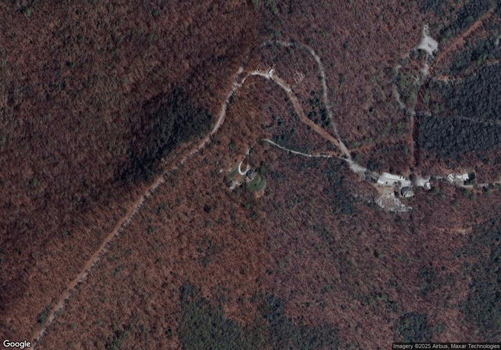
Map
Nearby Homes
- 0 Forest Canopy Way Unit 11
- 0 Alto Ln Unit 10533235
- 189 Elm Ln
- 1387 Valley St
- 994 Winding View Trail
- 657 Winding View Trail
- 0 Black Rock Estates Unit 25 10374676
- 0 Pitts Way Unit 10592369
- 230 Stornoway Dr Unit 6
- 0 Crest Ln Unit LOT 5 10572844
- 46 Clare Ln
- 373 Western Way
- 0 Sylvan Lake Dr Unit 47,48 10485897
- 18 Living Waters Way
- 22 Living Waters Way Unit 2C
- 300 Ginger Creek Ln Unit 203
- 300 Ginger Creek Ln Unit 303
- 2 Raven Ridge Rd
- 0 Raven Ridge Rd
- 0 Green St Unit 10565711
- 326 W Langston Ave
- 344 W Langston Ave
- 302 Bird Hunter Trail
- 0 Forrest Canopy Way Unit 2781804
- 0 Pleasant Hill Unit 2795204
- 0 Pleasant Hill Unit 1B 2795198
- 0 Pleasant Hill Unit 1A 2795196
- N N Germany Mountain Rd Unit 25 AND 26
- 12 Ee Kingwood
- 38 Heavenly Cir
- 2020 Moses Rd Unit 25 and 26
- 2020 Moses Rd
- 0 N Germany Rd Unit 3036534
- 0 N Germany Rd Unit 3222454
- 0 N Germany Rd Unit 8142938
- 3473 N Germany Mountain Rd
- 1933 Moses Rd
- 3095 N Germany Rd
- 12 Piper Ln
- 168 Bonded Ln