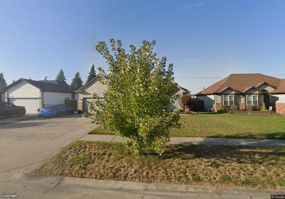
31573 Riverbend Dr Chesterfield, MI 48047
Estimated Value: $332,000 - $375,000
--
Bed
--
Bath
1,531
Sq Ft
$234/Sq Ft
Est. Value
About This Home
This home is located at 31573 Riverbend Dr, Chesterfield, MI 48047 and is currently estimated at $358,604, approximately $234 per square foot. 31573 Riverbend Dr is a home with nearby schools including Great Oaks Elementary School, Anchor Bay Middle School North, and Anchor Bay High School.
Ownership History
Date
Name
Owned For
Owner Type
Purchase Details
Closed on
Jan 2, 2015
Sold by
Peedin Lester R and Peedin Stacy A
Bought by
Peedin Lester R and Peedin Stacy A
Current Estimated Value
Purchase Details
Closed on
Dec 15, 2006
Sold by
Mayo Thomas A and Mayo Debra S
Bought by
Peedin Lester R
Home Financials for this Owner
Home Financials are based on the most recent Mortgage that was taken out on this home.
Original Mortgage
$44,700
Interest Rate
6.27%
Mortgage Type
Stand Alone Second
Create a Home Valuation Report for This Property
The Home Valuation Report is an in-depth analysis detailing your home's value as well as a comparison with similar homes in the area
Home Values in the Area
Average Home Value in this Area
Purchase History
| Date | Buyer | Sale Price | Title Company |
|---|---|---|---|
| Peedin Lester R | -- | None Available | |
| Peedin Lester R | $223,500 | Wilson Title Agency Llc |
Source: Public Records
Mortgage History
| Date | Status | Borrower | Loan Amount |
|---|---|---|---|
| Closed | Peedin Lester R | $44,700 | |
| Open | Peedin Lester R | $178,800 |
Source: Public Records
Tax History Compared to Growth
Tax History
| Year | Tax Paid | Tax Assessment Tax Assessment Total Assessment is a certain percentage of the fair market value that is determined by local assessors to be the total taxable value of land and additions on the property. | Land | Improvement |
|---|---|---|---|---|
| 2025 | $3,443 | $153,000 | $0 | $0 |
| 2024 | $1,982 | $151,200 | $0 | $0 |
| 2023 | $1,879 | $140,600 | $0 | $0 |
| 2022 | $3,115 | $118,200 | $0 | $0 |
| 2021 | $3,085 | $111,800 | $0 | $0 |
| 2020 | $1,727 | $105,000 | $0 | $0 |
| 2019 | $2,802 | $98,400 | $0 | $0 |
| 2018 | $2,747 | $94,200 | $16,500 | $77,700 |
| 2017 | $2,690 | $85,050 | $16,500 | $68,550 |
| 2016 | $2,684 | $85,050 | $0 | $0 |
| 2015 | $1,247 | $80,500 | $0 | $0 |
| 2014 | $1,247 | $75,350 | $16,500 | $58,850 |
| 2012 | -- | $0 | $0 | $0 |
Source: Public Records
Map
Nearby Homes
- 53063 Pine Creek Dr
- 53111 Pine Creek Dr
- 53195 Woodland Meadows
- 53213 Woodland Meadows
- 53225 Woodland Meadows
- 53176 Woodland Meadows
- 53237 Woodland Meadows
- The Washington Plan at Woodland Meadows
- The Everest Plan at Woodland Meadows
- The Dawson Plan at Woodland Meadows
- The Jefferson Plan at Woodland Meadows
- The Dover Plan at Woodland Meadows
- The Jefferson II Plan at Woodland Meadows
- The Shelby Plan at Woodland Meadows
- The Franklin II Plan at Woodland Meadows
- The Rockford Plan at Woodland Meadows
- The Harrison Plan at Woodland Meadows
- The Franklin I Plan at Woodland Meadows
- 53243 Woodland Meadows
- 52047 Sycamore Dr
- 31561 Riverbend Dr
- 31549 Riverbend Dr
- 31585 Riverbend Dr
- 31597 Riverbend Dr
- 31574 Riverbend Dr
- 31586 Riverbend Dr
- 31550 Riverbend Dr
- 31537 Riverbend Dr
- 31598 Riverbend Dr
- 31609 Riverbend Dr
- 31610 Riverbend Dr
- 31598 Hiddenbrook Dr
- 31586 Hiddenbrook Dr
- 31610 Hiddenbrook Dr Unit Bldg-Unit
- 31610 Hiddenbrook Dr
- 52922 Creekside Dr
- 52898 Creekside Dr
- 31574 Hiddenbrook Dr
- 52910 Creekside Dr
- 31622 Hiddenbrook Dr
