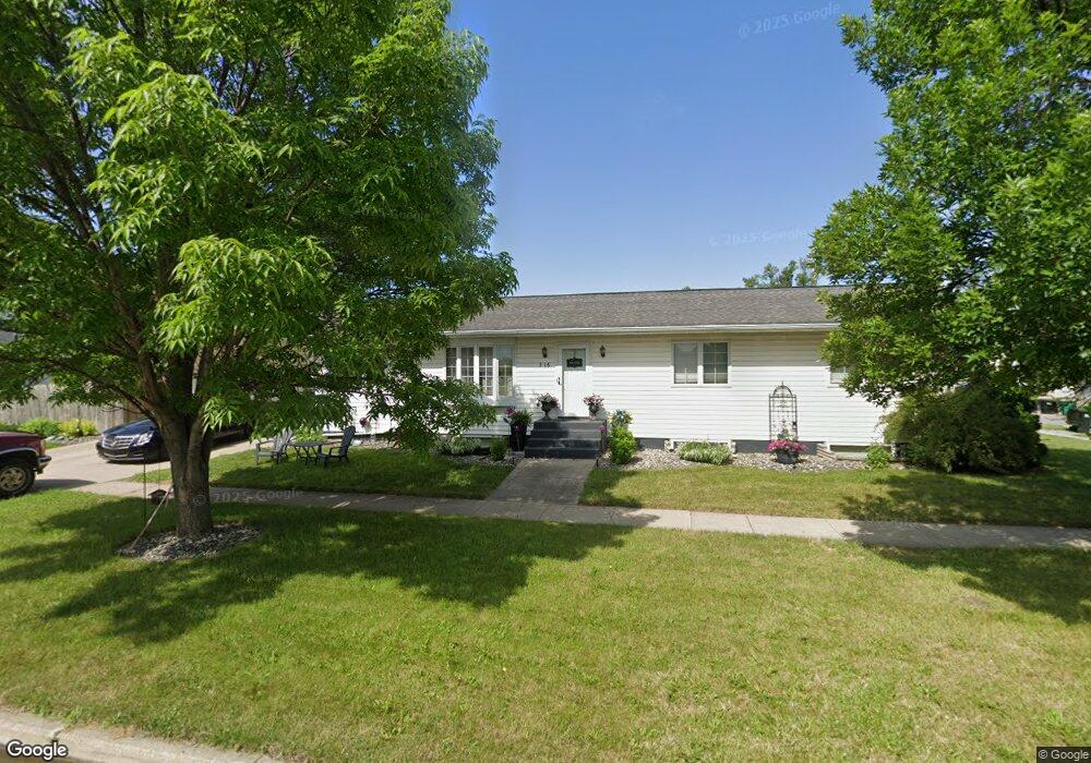
316 3rd St E West Fargo, ND 58078
Sukut's NeighborhoodEstimated Value: $342,000
About This Home
This home is located at 316 3rd St E, West Fargo, ND 58078 and is currently estimated at $342,000, approximately $218 per square foot. 316 3rd St E is a home located in Cass County with nearby schools including South Elementary School, Cheney Middle School, and West Fargo High School.
Ownership History
We collect this data history from publicly available records. To have your information removed, we recommend requesting removal directly through your county’s website.
Purchase Details
Home Financials for this Owner
Home Financials are based on the most recent Mortgage that was taken out on this home.Home Values in the Area
Average Home Value in this Area
Purchase History
We collect this data history from publicly available records. To have your information removed, we recommend requesting removal directly through your county’s website.
| Date | Buyer | Sale Price | Title Company |
|---|---|---|---|
| -- | -- |
Mortgage History
We collect this data history from publicly available records. To have your information removed, we recommend requesting removal directly through your county’s website.
| Date | Status | Borrower | Loan Amount |
|---|---|---|---|
| Open | $128,800 |
Tax History
We collect this data history from publicly available records. To have your information removed, we recommend requesting removal directly through your county’s website.
| Year | Tax Paid | Tax Assessment Tax Assessment Total Assessment is a certain percentage of the fair market value that is determined by local assessors to be the total taxable value of land and additions on the property. | Land | Improvement |
|---|---|---|---|---|
| 2025 | $3,217 | $169,300 | $17,850 | $151,450 |
| 2024 | $3,836 | $160,250 | $14,050 | $146,200 |
| 2023 | $4,449 | $163,800 | $14,050 | $149,750 |
| 2022 | $4,211 | $148,000 | $14,050 | $133,950 |
| 2021 | $4,028 | $136,850 | $11,500 | $125,350 |
| 2020 | $3,917 | $136,850 | $11,500 | $125,350 |
| 2019 | $3,816 | $133,250 | $11,500 | $121,750 |
| 2018 | $3,612 | $131,600 | $11,500 | $120,100 |
| 2017 | $3,391 | $127,000 | $11,500 | $115,500 |
| 2016 | $2,994 | $123,000 | $11,500 | $111,500 |
| 2015 | $2,365 | $88,200 | $8,150 | $80,050 |
| 2014 | $2,319 | $82,450 | $8,150 | $74,300 |
| 2013 | $2,360 | $82,450 | $8,150 | $74,300 |
Map
- 14 3rd St E
- 202 5th St E
- 201 Sukuts St
- 101 7th Ave E
- 238 Pinewood Blvd
- 228 1st Ave W
- 105 8th Ave E
- 901 2nd St E
- 214 Morrison St
- 302 10th Ave E
- 102 Francis St
- 906 Sheyenne St
- 208 10 1/2 Ave W
- 543 4th Ave W
- 205 12th Ave E
- 307 12th Ave E
- 239 12 1 2 Ave E
- 535 4th Ave NW
- 305 6th St NW
- 342 12 1 2 Ave E Unit 21
Ask me questions while you tour the home.