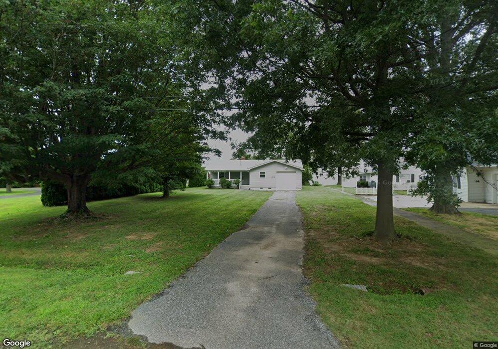
316 Beachside Dr Stevensville, MD 21666
Estimated Value: $756,280 - $1,147,000
3
Beds
2
Baths
1,404
Sq Ft
$633/Sq Ft
Est. Value
About This Home
This home is located at 316 Beachside Dr, Stevensville, MD 21666 and is currently estimated at $889,070, approximately $633 per square foot. 316 Beachside Dr is a home located in Queen Anne's County with nearby schools including Matapeake Elementary School, Matapeake Middle School, and Kent Island High School.
Ownership History
Date
Name
Owned For
Owner Type
Purchase Details
Closed on
Sep 26, 2011
Sold by
Jarski Mary Ann
Bought by
Jarski Mary Ann and Jarski Edmund J
Current Estimated Value
Home Financials for this Owner
Home Financials are based on the most recent Mortgage that was taken out on this home.
Original Mortgage
$125,000
Outstanding Balance
$11,890
Interest Rate
4.2%
Mortgage Type
New Conventional
Estimated Equity
$877,180
Purchase Details
Closed on
Oct 17, 2001
Sold by
Zeikus Maria
Bought by
Jarski Mary Ann
Purchase Details
Closed on
Jul 10, 2001
Sold by
Anderson Mark S and Anderson Wendy J
Bought by
Zeikus Maria
Purchase Details
Closed on
Mar 26, 1997
Sold by
Smith Chas W
Bought by
Anderson Mark S and Anderson Wendy J
Create a Home Valuation Report for This Property
The Home Valuation Report is an in-depth analysis detailing your home's value as well as a comparison with similar homes in the area
Home Values in the Area
Average Home Value in this Area
Purchase History
| Date | Buyer | Sale Price | Title Company |
|---|---|---|---|
| Jarski Mary Ann | -- | Associated Title Group Inc | |
| Jarski Mary Ann | -- | -- | |
| Zeikus Maria | $402,000 | -- | |
| Anderson Mark S | $215,000 | -- |
Source: Public Records
Mortgage History
| Date | Status | Borrower | Loan Amount |
|---|---|---|---|
| Open | Jarski Mary Ann | $125,000 | |
| Closed | Anderson Mark S | -- |
Source: Public Records
Tax History Compared to Growth
Tax History
| Year | Tax Paid | Tax Assessment Tax Assessment Total Assessment is a certain percentage of the fair market value that is determined by local assessors to be the total taxable value of land and additions on the property. | Land | Improvement |
|---|---|---|---|---|
| 2025 | $5,681 | $748,233 | $0 | $0 |
| 2024 | $5,378 | $644,467 | $0 | $0 |
| 2023 | $5,093 | $540,700 | $382,400 | $158,300 |
| 2022 | $5,153 | $540,700 | $382,400 | $158,300 |
| 2021 | $5,809 | $540,700 | $382,400 | $158,300 |
| 2020 | $5,809 | $599,400 | $448,800 | $150,600 |
| 2019 | $5,598 | $577,467 | $0 | $0 |
| 2018 | $5,388 | $555,533 | $0 | $0 |
| 2017 | $5,178 | $533,600 | $0 | $0 |
| 2016 | -- | $525,000 | $0 | $0 |
| 2015 | $5,640 | $516,400 | $0 | $0 |
| 2014 | $5,640 | $507,800 | $0 | $0 |
Source: Public Records
Map
Nearby Homes
- 312 S Lake Dr
- 201 Beachside Dr
- 101 Beachside Dr
- 208 Tower Dr
- 145 N Lake Dr
- 118 N Lake Dr
- 114 N Lake Dr
- 306 N Lake Rd
- Lot 1 - E/Kent Point Romancoke
- 200 Mallard Cove Ln
- 231 Lighthouse View Dr
- 0 Ackerman Dr
- Lot 8 Ackerman Dr
- 203 Olive Branch Rd
- 102 Golf Ct
- 214 Pennick Dr
- 210 Pennick Dr
- 8905 Romancoke Rd
- 205 Lighthouse View Dr
- 321 Oregon Rd
- 318 Beachside Dr
- 312 Beachside Dr
- 310 Beachside Dr
- 322 Beachside Dr
- 313 Beachside Dr
- 309 Beachside Dr
- 308 Beachside Dr
- 324 Beachside Dr
- 307 Beachside Dr
- 315 Beachside Dr
- 306 Beachside Dr
- 400 Beachside Dr
- 317 Beachside Dr
- 310 Drovers Way
- 312 Drovers Way
- 303 Beachside Dr
- 308 Drovers Way
- 314 Drovers Way
- 402 Beachside Dr
- Lot 1 Beach Side Dr