316 Blow Rd Wetumpka, AL 36092
Estimated Value: $240,000 - $292,208
3
Beds
2
Baths
2,000
Sq Ft
$132/Sq Ft
Est. Value
About This Home
This home is located at 316 Blow Rd, Wetumpka, AL 36092 and is currently estimated at $264,802, approximately $132 per square foot. 316 Blow Rd is a home located in Elmore County with nearby schools including Wetumpka Elementary School, Wetumpka Middle School, and Wetumpka High School.
Ownership History
Date
Name
Owned For
Owner Type
Purchase Details
Closed on
Oct 25, 2023
Sold by
Barton Jerry and Barton Debrian
Bought by
Harrison Jonathan Dale
Current Estimated Value
Home Financials for this Owner
Home Financials are based on the most recent Mortgage that was taken out on this home.
Original Mortgage
$212,657
Outstanding Balance
$208,714
Interest Rate
7.18%
Mortgage Type
FHA
Estimated Equity
$56,088
Purchase Details
Closed on
May 9, 2017
Sold by
Edwards Hannah and Edwards Christopher
Bought by
Barton Debrina and Barton Jerry
Create a Home Valuation Report for This Property
The Home Valuation Report is an in-depth analysis detailing your home's value as well as a comparison with similar homes in the area
Home Values in the Area
Average Home Value in this Area
Purchase History
| Date | Buyer | Sale Price | Title Company |
|---|---|---|---|
| Harrison Jonathan Dale | $230,000 | None Listed On Document | |
| Barton Debrina | $155,000 | -- |
Source: Public Records
Mortgage History
| Date | Status | Borrower | Loan Amount |
|---|---|---|---|
| Open | Harrison Jonathan Dale | $212,657 |
Source: Public Records
Tax History Compared to Growth
Tax History
| Year | Tax Paid | Tax Assessment Tax Assessment Total Assessment is a certain percentage of the fair market value that is determined by local assessors to be the total taxable value of land and additions on the property. | Land | Improvement |
|---|---|---|---|---|
| 2024 | $729 | $20,080 | $0 | $0 |
| 2023 | $0 | $204,850 | $34,850 | $170,000 |
| 2022 | $0 | $20,556 | $2,886 | $17,670 |
| 2021 | $404 | $18,536 | $2,886 | $15,650 |
| 2020 | $404 | $17,186 | $2,886 | $14,300 |
| 2019 | $404 | $16,645 | $2,175 | $14,470 |
| 2018 | $0 | $15,775 | $2,175 | $13,600 |
| 2017 | $361 | $16,160 | $2,177 | $13,983 |
| 2016 | $388 | $15,235 | $2,175 | $13,060 |
| 2014 | $369 | $144,580 | $15,080 | $129,500 |
Source: Public Records
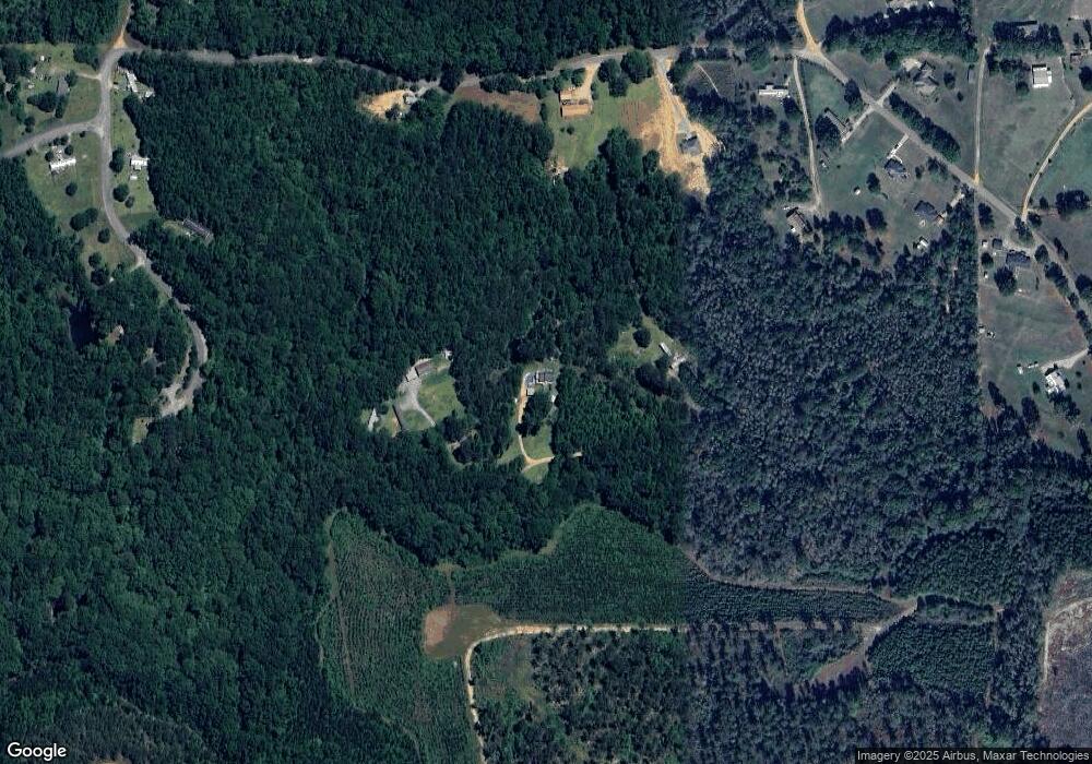
Map
Nearby Homes
- Lot 1 Cadens Creek
- 272 Shadow Wood Ln
- 261 Rapids Rd
- 5731-5979 Weoka Rd
- 350 Weoka Rd
- 17 White Water Way
- 1275 Crenshaw Rd
- 327 Williams Rd
- 134 Taylor Hill Dr
- 101 St Thomas Ave
- 192 Crenshaw Dr
- 30 Canal Ln
- 289 Canal Crossing
- 154 Canal Ln
- 202 Canal Ln
- 264 Canal Ln
- 330 Canal Ln
- 354 Canal Ln
- 313 Canal Ln
- 337 Canal Ln
- 316 Blowe Rd
- 335 Blow Rd
- 1179 River Falls Rd
- 1081 River Falls Rd
- 1289 River Falls Rd
- 1079 River Falls Rd
- 1025 River Falls Rd
- 148 Sandy Ct
- 9 Sandy Ct
- 955 River Falls Rd
- 1009 River Falls Rd
- 19 Sandy Ct
- 1004 River Falls Rd
- 889 River Falls Rd
- 823 River Falls Rd
- 20 Shealey Cir
- 1505 River Falls Rd
- 1460 River Falls Rd
- 900 River Falls Rd
- 100 Waterfall Ct