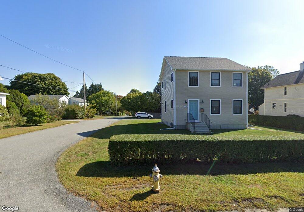
316 Boulevard Middletown, RI 02842
Estimated Value: $532,000 - $693,000
3
Beds
3
Baths
1,456
Sq Ft
$446/Sq Ft
Est. Value
About This Home
This home is located at 316 Boulevard, Middletown, RI 02842 and is currently estimated at $649,505, approximately $446 per square foot. 316 Boulevard is a home located in Newport County with nearby schools including Middletown High School, St Michael's Country Day School, and All Saints STEAM Academy.
Ownership History
Date
Name
Owned For
Owner Type
Purchase Details
Closed on
Oct 25, 2013
Sold by
Roche Ann M and Dunn Elaine M
Bought by
Dunn Nanette F
Current Estimated Value
Home Financials for this Owner
Home Financials are based on the most recent Mortgage that was taken out on this home.
Original Mortgage
$288,150
Interest Rate
4.56%
Mortgage Type
New Conventional
Purchase Details
Closed on
Mar 4, 2013
Sold by
Weinand Elaine
Bought by
Roche Anne M and Dunn Elaine M
Create a Home Valuation Report for This Property
The Home Valuation Report is an in-depth analysis detailing your home's value as well as a comparison with similar homes in the area
Home Values in the Area
Average Home Value in this Area
Purchase History
| Date | Buyer | Sale Price | Title Company |
|---|---|---|---|
| Dunn Nanette F | $120,000 | -- | |
| Roche Anne M | -- | -- |
Source: Public Records
Mortgage History
| Date | Status | Borrower | Loan Amount |
|---|---|---|---|
| Open | Roche Anne M | $288,150 | |
| Closed | Roche Anne M | $288,150 |
Source: Public Records
Tax History
| Year | Tax Paid | Tax Assessment Tax Assessment Total Assessment is a certain percentage of the fair market value that is determined by local assessors to be the total taxable value of land and additions on the property. | Land | Improvement |
|---|---|---|---|---|
| 2025 | $6,726 | $570,500 | $303,200 | $267,300 |
| 2024 | $6,424 | $570,500 | $303,200 | $267,300 |
| 2023 | $5,120 | $406,700 | $204,900 | $201,800 |
| 2022 | $4,889 | $406,700 | $204,900 | $201,800 |
| 2021 | $4,889 | $406,700 | $204,900 | $201,800 |
| 2020 | $4,589 | $333,500 | $153,900 | $179,600 |
| 2018 | $4,586 | $333,500 | $153,900 | $179,600 |
| 2016 | $5,141 | $333,400 | $138,100 | $195,300 |
| 2015 | $5,014 | $333,400 | $138,100 | $195,300 |
| 2014 | $3,553 | $221,100 | $112,600 | $108,500 |
| 2013 | $3,473 | $221,100 | $112,600 | $108,500 |
Source: Public Records
Map
Nearby Homes
- 1 Shangri-La Ln
- 5 Shangri la Ln
- 1 Ichabod Ln
- 19 Vernon Ave
- 403 Valley Rd
- 30 Toppa Blvd
- 55 John Clarke Rd Unit 8
- 55 John Clarke Rd Unit 3
- 55 John Clarke Rd Unit 24
- 5 Elliot Place
- 18 Ledyard St
- 0 Ledyard St
- 0 Bliss Mine Rd
- 409 Broadway
- 149 W Main Rd
- 19 Greene Ln
- 129 Bliss Mine Rd
- 78 Ellery Rd
- 61 Gibbs Ave
- 9 Whitwell Place
- 322 Boulevard
- 306 Boulevard
- 145 Vernon Ave
- 145 Vernon Ave Unit 1
- 178 Vernon Ave
- 38 Shangri la Ln Unit 40
- 143 Vernon Ave
- 336 Boulevard
- 179 Vernon Ave
- 181 Vernon Ave
- 21 Boulevard E
- 292 Boulevard
- 180 Vernon Ave
- 34 Shangri la Ln Unit 36
- 135 Vernon Ave Unit 137
- 342 Boulevard
- 339 Boulevard
- 1315 Shangri-La Ln
- 187 Vernon Ave
- 131 Vernon Ave
Your Personal Tour Guide
Ask me questions while you tour the home.