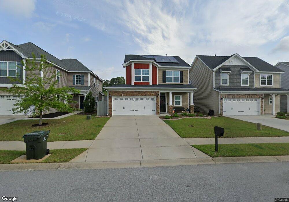
316 Brookland Way West Columbia, SC 29169
Estimated Value: $275,595 - $302,000
4
Beds
3
Baths
1,829
Sq Ft
$157/Sq Ft
Est. Value
About This Home
This home is located at 316 Brookland Way, West Columbia, SC 29169 and is currently estimated at $286,899, approximately $156 per square foot. 316 Brookland Way is a home located in Lexington County with nearby schools including Riverbank Elementary, Northside Middle, and Brookland-Cayce High School.
Ownership History
Date
Name
Owned For
Owner Type
Purchase Details
Closed on
Feb 24, 2015
Sold by
Mungo Homes Inc
Bought by
Attaway Mark C and Attaway Donna M
Current Estimated Value
Home Financials for this Owner
Home Financials are based on the most recent Mortgage that was taken out on this home.
Original Mortgage
$138,907
Outstanding Balance
$106,279
Interest Rate
3.81%
Mortgage Type
New Conventional
Estimated Equity
$180,620
Create a Home Valuation Report for This Property
The Home Valuation Report is an in-depth analysis detailing your home's value as well as a comparison with similar homes in the area
Home Values in the Area
Average Home Value in this Area
Purchase History
| Date | Buyer | Sale Price | Title Company |
|---|---|---|---|
| Attaway Mark C | $173,634 | -- | |
| Mungo Homes Inc | -- | -- |
Source: Public Records
Mortgage History
| Date | Status | Borrower | Loan Amount |
|---|---|---|---|
| Open | Attaway Mark C | $138,907 |
Source: Public Records
Tax History Compared to Growth
Tax History
| Year | Tax Paid | Tax Assessment Tax Assessment Total Assessment is a certain percentage of the fair market value that is determined by local assessors to be the total taxable value of land and additions on the property. | Land | Improvement |
|---|---|---|---|---|
| 2024 | $1,029 | $7,133 | $1,200 | $5,933 |
| 2023 | $862 | $7,133 | $1,200 | $5,933 |
| 2022 | $882 | $7,133 | $1,200 | $5,933 |
| 2020 | $840 | $7,133 | $1,200 | $5,933 |
| 2019 | $826 | $6,945 | $1,200 | $5,745 |
| 2018 | $1,328 | $6,945 | $1,200 | $5,745 |
| 2017 | $1,274 | $6,945 | $1,200 | $5,745 |
| 2016 | $1,311 | $6,945 | $1,200 | $5,745 |
| 2014 | -- | $0 | $0 | $0 |
Source: Public Records
Map
Nearby Homes
- 500 Finnegan Ln
- 529 Finnegan Ln
- 623 Hook Ave
- 0 Platt Springs Rd Unit 606355
- 0 Sunset Blvd Unit 553428
- 165 Cavendish Dr
- 235 Harvest Glen Ln
- 2004 Dew Ave
- 913 Harper Rose Ct
- 161 Weeping Oak Ln
- 207 Woodhaven Dr
- 215 Sandel Ln
- 108 Harvest Glen Ln
- 13 Janice Fe Trail
- 7 Janice Fe Trail
- 1715 Gilvie Ave
- 21 Janice Fe Trail
- 520 Spanish Leaf Ln
- 292 Marabou Cir
- 100 Double Branch Ct
- 312 Brookland Way
- 320 Brookland Way
- 308 Brookland Way
- 324 Brookland Way
- 400 Millcrest Ln
- 304 Brookland Way
- 300 Brookland Way
- 501 Finnegan Ln
- 332 Brookland Way
- 404 Millcrest Ln
- 505 Finnegan Ln
- 336 Brookland Way
- 412 Millcrest Ln
- 405 Millcrest Ln
- 509 Finnegan Ln
- 513 Finnegan Ln
- 340 Brookland Way
- 416 Millcrest Ln
- 409 Millcrest Ln
- 517 Finnegan Ln