316 Canyon West Dr Weatherford, TX 76087
Estimated Value: $778,000 - $1,082,000
--
Bed
--
Bath
3,868
Sq Ft
$234/Sq Ft
Est. Value
About This Home
This home is located at 316 Canyon West Dr, Weatherford, TX 76087 and is currently estimated at $904,156, approximately $233 per square foot. 316 Canyon West Dr is a home with nearby schools including Brock Intermediate School, Brock Junior High School, and Brock High School.
Ownership History
Date
Name
Owned For
Owner Type
Purchase Details
Closed on
Nov 26, 2012
Sold by
Mickle Wesley J
Bought by
Clapp Clifford Wayne
Current Estimated Value
Home Financials for this Owner
Home Financials are based on the most recent Mortgage that was taken out on this home.
Original Mortgage
$59,100
Interest Rate
3.4%
Mortgage Type
New Conventional
Create a Home Valuation Report for This Property
The Home Valuation Report is an in-depth analysis detailing your home's value as well as a comparison with similar homes in the area
Home Values in the Area
Average Home Value in this Area
Purchase History
| Date | Buyer | Sale Price | Title Company |
|---|---|---|---|
| Clapp Clifford Wayne | -- | -- | |
| Clapp Clifford Wayne | -- | Rtc |
Source: Public Records
Mortgage History
| Date | Status | Borrower | Loan Amount |
|---|---|---|---|
| Closed | Clapp Clifford Wayne | $59,100 |
Source: Public Records
Tax History Compared to Growth
Tax History
| Year | Tax Paid | Tax Assessment Tax Assessment Total Assessment is a certain percentage of the fair market value that is determined by local assessors to be the total taxable value of land and additions on the property. | Land | Improvement |
|---|---|---|---|---|
| 2025 | $10,882 | $721,729 | -- | -- |
| 2024 | $10,882 | $656,117 | -- | -- |
| 2023 | $10,882 | $596,470 | $0 | $0 |
| 2022 | $11,009 | $542,250 | $24,500 | $517,750 |
| 2021 | $11,507 | $542,250 | $24,500 | $517,750 |
| 2020 | $10,606 | $489,990 | $24,500 | $465,490 |
| 2019 | $11,420 | $489,990 | $24,500 | $465,490 |
| 2018 | $10,994 | $469,610 | $12,000 | $457,610 |
| 2017 | $10,124 | $469,610 | $12,000 | $457,610 |
| 2016 | $8,942 | $388,690 | $12,000 | $376,690 |
| 2015 | $8,154 | $376,190 | $12,000 | $364,190 |
| 2014 | $937 | $51,090 | $10,000 | $41,090 |
Source: Public Records
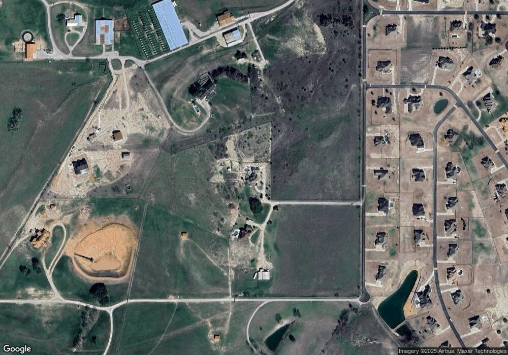
Map
Nearby Homes
- 162 Pinnacle Peak Ln
- 123 Club House Dr
- 197 Pinnacle Peak Ln
- 113 Laser Ln
- 205 Pinnacle Peak Ln
- 0 Quanah Hill Rd Unit 23872058
- 234 Trail Ridge
- 120 Trail Ridge
- 101 Trail Ridge
- 150 Top Flight Dr
- 2053 Verona Dr
- 125 Summer Stone Ct
- 2042 Verona Dr
- 2030 Verona Dr
- 1060 Kessler Rd
- 304 Red Roan Ridge
- 2026 Verona Dr
- 3036 Palermo Dr
- 4000 Luciano Dr
- 2007 Verona Dr
- 320 Canyon West Dr
- 4 Pinnacle Peak Ln
- 10 Pinnacle Peak Ln
- 28R Pinnacle Peak Ln
- 0 Pinnacle Peak Ln Unit 10900568
- 11 Pinnacle Peak Ln
- 0000 Pinnacle Peak Ln
- 53 Pinnacle Peak Ln
- 34R Pinnacle Peak Ln
- 111 Valley View Ln
- 115 Valley View Ln
- 550 Canyon Rd
- 315 Canyon West Dr
- 305 Canyon West Dr
- 321 Canyon West Dr
- 117 Valley View Ln
- L53 Pinnacle Peak Ln
- L50 Pinnacle Peak Ln
- TBD Valley View Ln
- 100 Pinnacle Peak Ln