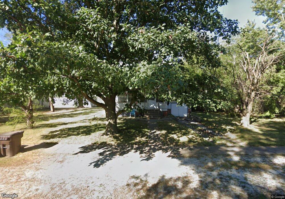
316 Colorado St Murdock, NE 68407
Estimated Value: $199,000 - $310,000
3
Beds
3
Baths
1,908
Sq Ft
$133/Sq Ft
Est. Value
About This Home
This home is located at 316 Colorado St, Murdock, NE 68407 and is currently estimated at $253,973, approximately $133 per square foot. 316 Colorado St is a home located in Cass County with nearby schools including Elmwood-Murdock Elementary School and Elmwood-Murdock Junior/Senior High School.
Ownership History
Date
Name
Owned For
Owner Type
Purchase Details
Closed on
Apr 9, 2024
Sold by
Lang Michael D
Bought by
Jean D Lang Living Trust and Eckert
Current Estimated Value
Purchase Details
Closed on
Jul 20, 2015
Sold by
Pellatz Daniel E
Bought by
Lang Michael D
Home Financials for this Owner
Home Financials are based on the most recent Mortgage that was taken out on this home.
Original Mortgage
$118,795
Interest Rate
4.08%
Mortgage Type
VA
Create a Home Valuation Report for This Property
The Home Valuation Report is an in-depth analysis detailing your home's value as well as a comparison with similar homes in the area
Purchase History
| Date | Buyer | Sale Price | Title Company |
|---|---|---|---|
| Jean D Lang Living Trust | -- | None Listed On Document | |
| Lang Michael D | -- | Dri Title & Escrow |
Source: Public Records
Mortgage History
| Date | Status | Borrower | Loan Amount |
|---|---|---|---|
| Previous Owner | Lang Michael D | $118,795 |
Source: Public Records
Tax History
| Year | Tax Paid | Tax Assessment Tax Assessment Total Assessment is a certain percentage of the fair market value that is determined by local assessors to be the total taxable value of land and additions on the property. | Land | Improvement |
|---|---|---|---|---|
| 2025 | $1,974 | $155,675 | $20,640 | $135,035 |
| 2024 | $1,990 | $149,160 | $20,640 | $128,520 |
| 2023 | $2,444 | $145,456 | $17,941 | $127,515 |
| 2022 | $2,282 | $141,599 | $18,838 | $122,761 |
| 2021 | $1,700 | $102,085 | $14,840 | $87,245 |
| 2020 | $2,111 | $120,233 | $16,324 | $103,909 |
| 2019 | $1,930 | $109,303 | $14,840 | $94,463 |
| 2018 | $1,965 | $109,303 | $14,840 | $94,463 |
| 2017 | $1,971 | $109,303 | $14,840 | $94,463 |
| 2016 | $1,872 | $109,303 | $14,840 | $94,463 |
| 2015 | $1,816 | $109,607 | $20,930 | $88,677 |
| 2014 | $1,978 | $109,607 | $20,930 | $88,677 |
Source: Public Records
Map
Nearby Homes
- TBD Tbd
- 29320 Church Rd
- 0 Tbd 286th St
- Fletcher Ave Unit LotWP001
- 3250 310th St
- 3240 310th St
- 1.87 Acres, E H St
- 701 N 4th St
- 317 W E St
- 204 S 2nd St
- 437 E 2nd St
- 501 E 1st St
- 204 Pawnee Cir
- 102 Oak Ln
- 36807 Oakmont Dr
- 36712 Oakmont Dr
- TBD-22-12-11 Northridge Sub (1 10 A) Pollard Dr
- 17750 Nebraska 31
- 306 W 3rd St
- Lot 1 Block 4 Valley View Ct
Your Personal Tour Guide
Ask me questions while you tour the home.