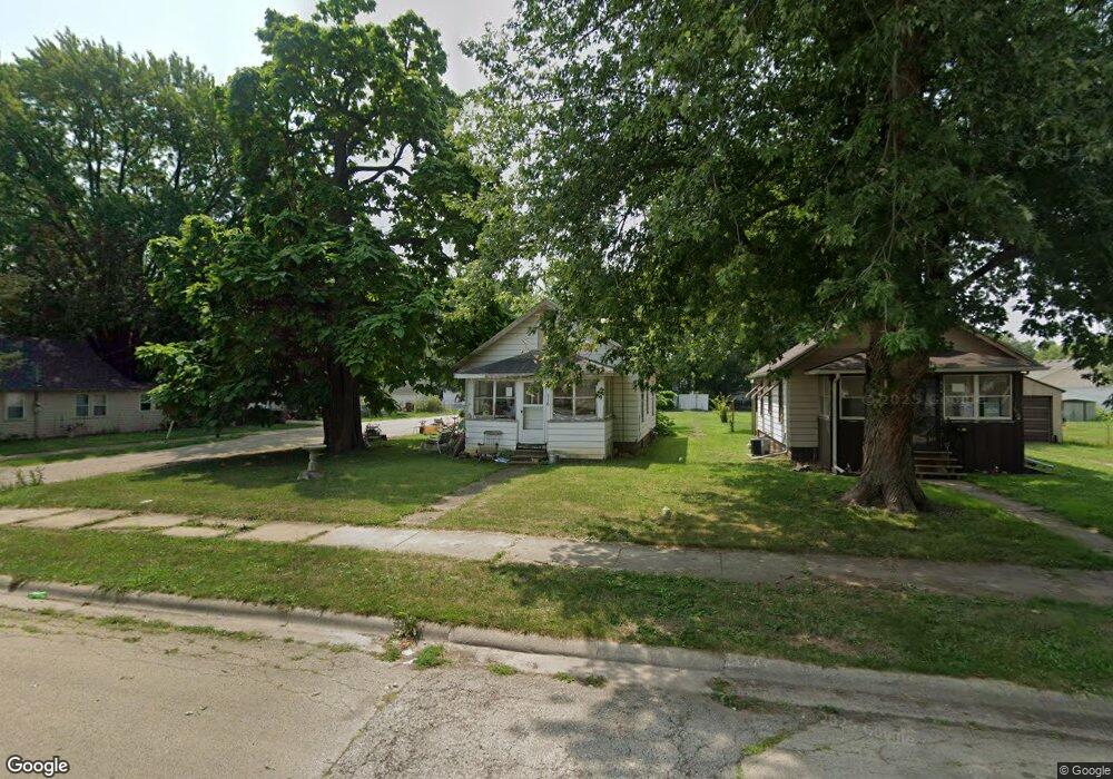
316 E 9th St Rock Falls, IL 61071
Estimated Value: $59,063 - $108,000
Studio
--
Bath
--
Sq Ft
7,405
Sq Ft Lot
About This Home
This home is located at 316 E 9th St, Rock Falls, IL 61071 and is currently estimated at $81,516. 316 E 9th St is a home located in Whiteside County with nearby schools including Merrill Elementary School, Dillon Elementary School, and Rock Falls Middle School.
Ownership History
Date
Name
Owned For
Owner Type
Purchase Details
Closed on
Dec 21, 2018
Sold by
Maxine A Ybarra Ret
Bought by
Urbani Joseph A
Current Estimated Value
Purchase Details
Closed on
Jul 10, 2014
Sold by
Ybarra Maxine A and Ybarra Frank A
Bought by
Ybarra Maxine A and Maxine A Ybarra Revocable Trust
Purchase Details
Closed on
Jun 27, 2014
Sold by
Ybarra John C
Bought by
Ybarra Maxine
Create a Home Valuation Report for This Property
The Home Valuation Report is an in-depth analysis detailing your home's value as well as a comparison with similar homes in the area
Home Values in the Area
Average Home Value in this Area
Purchase History
| Date | Buyer | Sale Price | Title Company |
|---|---|---|---|
| Urbani Joseph A | $25,000 | -- | |
| Ybarra Maxine A | -- | None Available | |
| Ybarra Maxine | -- | None Available |
Source: Public Records
Tax History
| Year | Tax Paid | Tax Assessment Tax Assessment Total Assessment is a certain percentage of the fair market value that is determined by local assessors to be the total taxable value of land and additions on the property. | Land | Improvement |
|---|---|---|---|---|
| 2024 | $151 | $15,869 | $3,704 | $12,165 |
| 2023 | $154 | $14,635 | $3,416 | $11,219 |
| 2022 | $159 | $13,799 | $3,221 | $10,578 |
| 2021 | $242 | $13,055 | $3,047 | $10,008 |
| 2020 | $164 | $12,832 | $2,995 | $9,837 |
| 2019 | $161 | $12,373 | $2,888 | $9,485 |
| 2018 | $686 | $12,098 | $2,824 | $9,274 |
| 2017 | $673 | $11,871 | $2,771 | $9,100 |
| 2016 | $649 | $11,671 | $2,724 | $8,947 |
| 2015 | $67 | $12,259 | $2,861 | $9,398 |
| 2014 | $652 | $11,932 | $2,785 | $9,147 |
| 2013 | $67 | $12,259 | $2,861 | $9,398 |
Source: Public Records
Map
Nearby Homes
Your Personal Tour Guide
Ask me questions while you tour the home.