316 E Canal Ave Ottawa, IL 61350
Estimated Value: $91,389 - $139,000
Studio
--
Bath
784
Sq Ft
$148/Sq Ft
Est. Value
About This Home
This home is located at 316 E Canal Ave, Ottawa, IL 61350 and is currently estimated at $116,347, approximately $148 per square foot. 316 E Canal Ave is a home located in LaSalle County with nearby schools including Ottawa Township High School, Marquette Academy, and Marquette Elementary School.
Ownership History
Date
Name
Owned For
Owner Type
Purchase Details
Closed on
Jul 20, 2007
Sold by
Wenger Jon M and Wenger Debra
Bought by
Gray Albert A
Current Estimated Value
Home Financials for this Owner
Home Financials are based on the most recent Mortgage that was taken out on this home.
Original Mortgage
$62,400
Outstanding Balance
$39,529
Interest Rate
6.76%
Mortgage Type
New Conventional
Estimated Equity
$76,818
Create a Home Valuation Report for This Property
The Home Valuation Report is an in-depth analysis detailing your home's value as well as a comparison with similar homes in the area
Home Values in the Area
Average Home Value in this Area
Purchase History
| Date | Buyer | Sale Price | Title Company |
|---|---|---|---|
| Gray Albert A | $78,000 | None Available |
Source: Public Records
Mortgage History
| Date | Status | Borrower | Loan Amount |
|---|---|---|---|
| Open | Gray Albert A | $62,400 |
Source: Public Records
Tax History
| Year | Tax Paid | Tax Assessment Tax Assessment Total Assessment is a certain percentage of the fair market value that is determined by local assessors to be the total taxable value of land and additions on the property. | Land | Improvement |
|---|---|---|---|---|
| 2024 | $2,564 | $24,900 | $6,771 | $18,129 |
| 2023 | $2,347 | $22,286 | $6,060 | $16,226 |
| 2022 | $2,160 | $20,227 | $5,903 | $14,324 |
| 2021 | $2,039 | $18,959 | $5,533 | $13,426 |
| 2020 | $1,926 | $18,010 | $5,256 | $12,754 |
| 2019 | $1,972 | $17,826 | $5,202 | $12,624 |
| 2018 | $1,923 | $17,398 | $5,077 | $12,321 |
| 2017 | $1,857 | $16,865 | $4,921 | $11,944 |
| 2016 | $1,784 | $16,142 | $4,710 | $11,432 |
| 2015 | $1,696 | $15,398 | $4,493 | $10,905 |
| 2012 | -- | $16,834 | $4,913 | $11,921 |
Source: Public Records
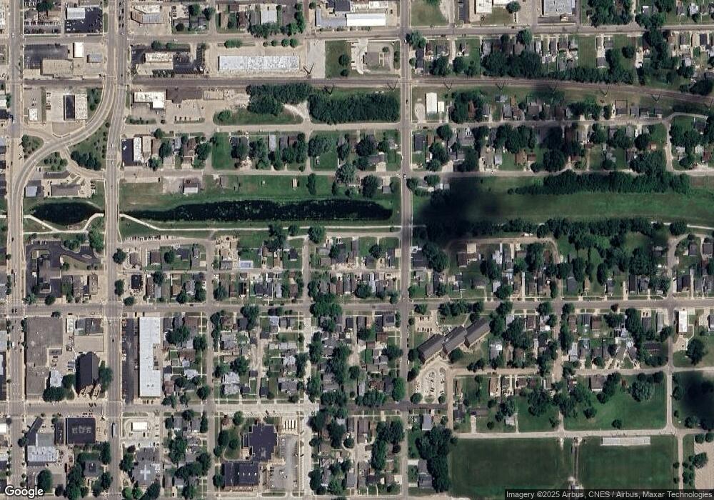
Map
Nearby Homes
- 522 E Superior St
- 537 Saint George St
- 1009 Paul St
- 713 E Superior St
- 565 E Norris Dr
- 607 E Joliet St
- 820 Columbus St
- 702 E Joliet St
- 706 E Joliet St
- 314 Congress St
- 540 Pearl St
- 621 Chapel St
- 213 Deleon St
- 806 Fulton St
- 913 Canal St
- 1845 La Salle St
- 1116 Chestnut St
- 1956 La Salle St
- 2100 Fox Chase Dr
- 1404 Walter Way
- 306 E Canal Ave
- 320 E Canal Ave
- 326 E Canal Ave
- 1218 Post St
- 1216 Post St
- 312 E Superior St
- 310 E Superior St
- 316 E Superior St
- 308 E Superior St
- 306 E Superior St
- 320 E Superior St
- 1211 Guion St
- 322 E Superior St
- 302 E Superior St
- 1219 Post St
- 1218 Guion St
- 315 E Michigan St
- 1216 Guion St
- 327 E Michigan St
- 226 E Superior St
Your Personal Tour Guide
Ask me questions while you tour the home.