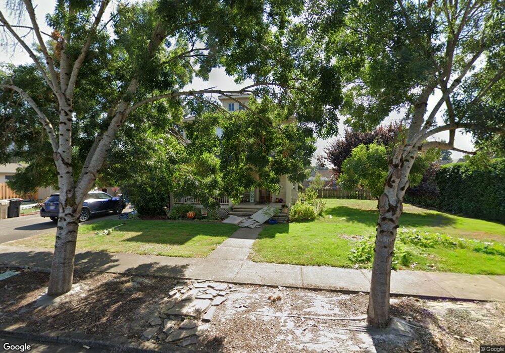
316 E Rose St Lebanon, OR 97355
Estimated Value: $408,017 - $536,000
3
Beds
4
Baths
1,847
Sq Ft
$256/Sq Ft
Est. Value
About This Home
This home is located at 316 E Rose St, Lebanon, OR 97355 and is currently estimated at $472,009, approximately $255 per square foot. 316 E Rose St is a home located in Linn County with nearby schools including Pioneer School, Lebanon High School, and East Linn Christian Academy.
Ownership History
Date
Name
Owned For
Owner Type
Purchase Details
Closed on
Apr 1, 2020
Sold by
Flips Kenneth L and Flips Heidi L
Bought by
Filis Kenneth L and Filis Heidi L
Current Estimated Value
Purchase Details
Closed on
Aug 16, 2005
Sold by
Hodges Michael T and Hodges Janelle
Bought by
Filips Ken and Filips Heidi
Home Financials for this Owner
Home Financials are based on the most recent Mortgage that was taken out on this home.
Original Mortgage
$32,985
Interest Rate
5.61%
Mortgage Type
Unknown
Purchase Details
Closed on
Apr 8, 2004
Sold by
Hodges Janelle
Bought by
Hodges Michael T and Hodges Janelle
Home Financials for this Owner
Home Financials are based on the most recent Mortgage that was taken out on this home.
Original Mortgage
$142,400
Interest Rate
4.25%
Mortgage Type
New Conventional
Create a Home Valuation Report for This Property
The Home Valuation Report is an in-depth analysis detailing your home's value as well as a comparison with similar homes in the area
Home Values in the Area
Average Home Value in this Area
Purchase History
| Date | Buyer | Sale Price | Title Company |
|---|---|---|---|
| Filis Kenneth L | -- | None Available | |
| Filips Ken | $219,900 | Lawyers Title Ins | |
| Hodges Michael T | -- | Amerititle |
Source: Public Records
Mortgage History
| Date | Status | Borrower | Loan Amount |
|---|---|---|---|
| Closed | Filips Ken | $32,985 | |
| Open | Filips Ken | $175,920 | |
| Previous Owner | Hodges Michael T | $142,400 |
Source: Public Records
Tax History Compared to Growth
Tax History
| Year | Tax Paid | Tax Assessment Tax Assessment Total Assessment is a certain percentage of the fair market value that is determined by local assessors to be the total taxable value of land and additions on the property. | Land | Improvement |
|---|---|---|---|---|
| 2024 | $4,644 | $220,970 | -- | -- |
| 2023 | $4,494 | $214,540 | $0 | $0 |
| 2022 | $4,399 | $208,300 | $0 | $0 |
| 2021 | $4,242 | $202,240 | $0 | $0 |
| 2020 | $4,190 | $196,350 | $0 | $0 |
| 2019 | $3,981 | $190,640 | $0 | $0 |
| 2018 | $3,950 | $185,090 | $0 | $0 |
| 2017 | $3,857 | $179,700 | $0 | $0 |
| 2016 | $3,477 | $174,470 | $0 | $0 |
| 2015 | $3,255 | $169,390 | $0 | $0 |
| 2014 | $3,164 | $164,460 | $0 | $0 |
Source: Public Records
Map
Nearby Homes
- 411 Mayer Dr
- 121 S Williams (125) St
- 235 Cleveland St
- 151 Cleveland St
- 495 Carlson Dr
- 145 Bromil St
- 20 Hiatt St
- 330 Wheeler Behind - Parcel 3 St
- 330 Wheeler St
- 64 W Vine St
- 178 S Main St
- 938 Cleveland St
- 705 E Sherman St
- 54 W Sherman St
- 294 S 2nd St
- TL 600 E Oak St
- 59 Eaton St
- 760 S 2nd St
- Parcel 2 E Grant St
- 0 E Grant St Unit Parcel1 24084276